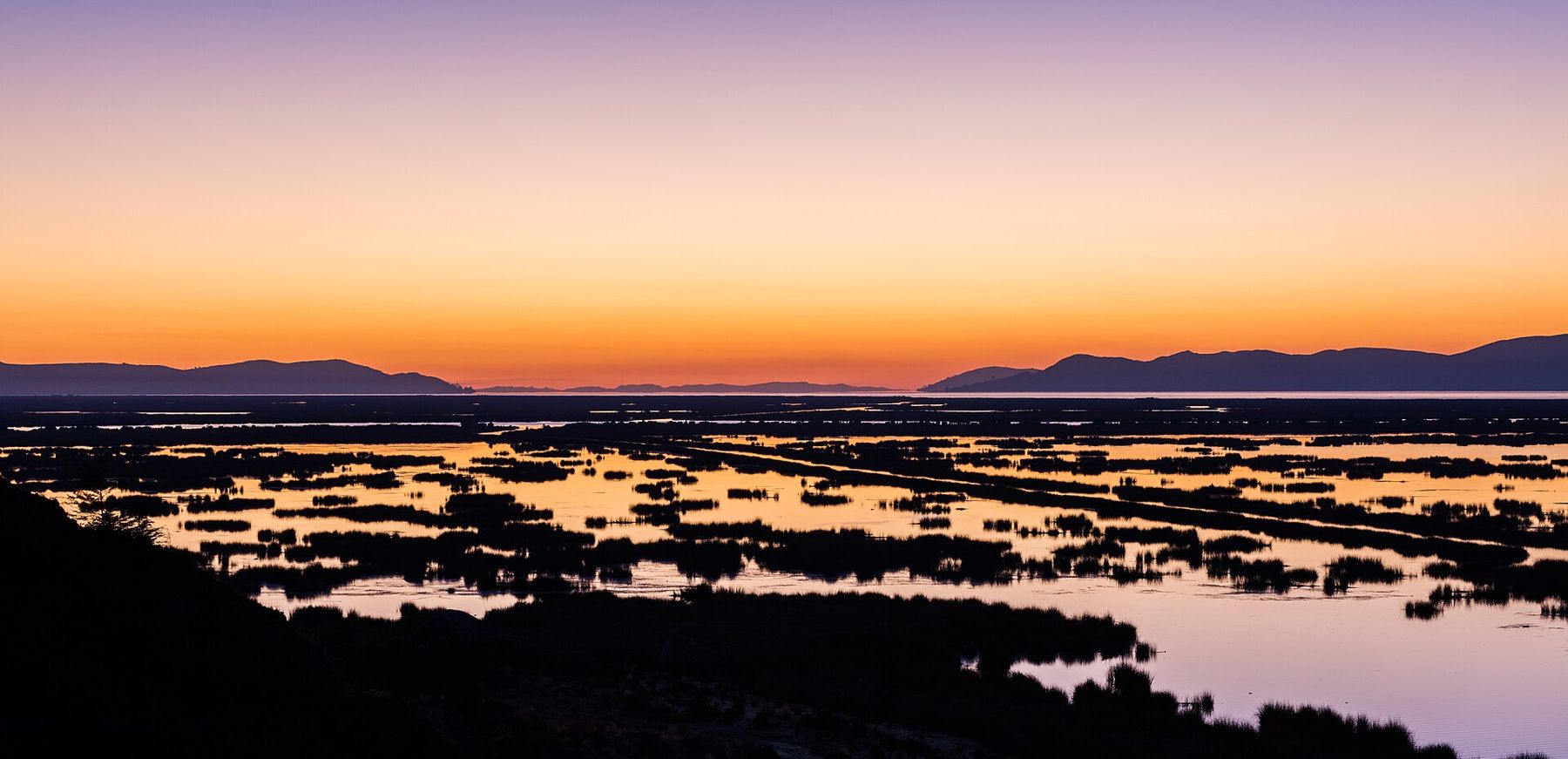
Lake Titicaca lies at 3,812 metres on the border between Bolivia and Peru, a sheet of water so large that from its shore it looks like a sea that has been lifted into the sky. It covers more than 8,000 square kilometres. The water is a deep, hard blue, the light is enormous, and on a still morning the snow peaks of Bolivia's Cordillera Real hang upside down in it.
This is a gentler place than La Paz, though it is higher. The streets are flatter, the pace is slower and the air smells of eucalyptus smoke and lake weed. But the altitude is the same story. The air holds about two-thirds of the oxygen it would at sea level, the sun burns through cloud in minutes, and nights fall close to freezing for much of the year. On the islands there are no cars, so every climb is on foot, on steps built for people who grew up here.
The trip below starts on the Bolivian side in Copacabana, spends a night on Isla del Sol, and ends with the reed islands off Puno in Peru. Arrive already adjusted: two or three days in La Paz or Cusco first make all the difference.
Copacabana and its basilica
The road from La Paz runs across the altiplano past adobe villages and grazing land, then reaches the narrow Strait of Tiquina. Vehicles cross on wooden barges while passengers take small boats, and the far side climbs over a ridge before dropping to Copacabana in its bay.
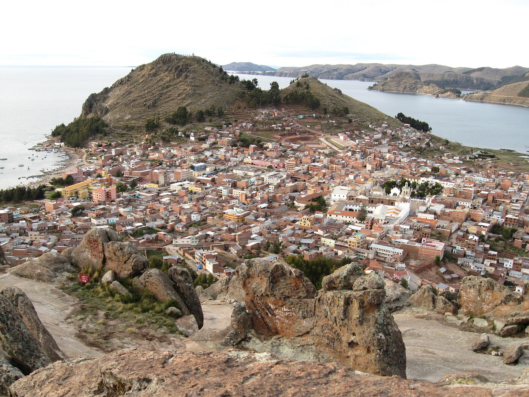
The town is a pilgrimage centre, and its heart is the white Basilica of Our Lady of Copacabana, with tiled domes and a wide walled courtyard. Inside is the image of the Virgin carved in the late sixteenth century by Francisco Tito Yupanqui, an Indigenous sculptor, which has drawn pilgrims ever since. On many days, especially weekends, decorated cars and buses line up outside to be blessed with flowers, alcohol and holy water by a priest, while their owners set off firecrackers. It is loud, cheerful and serious all at once.
In the evening, climb Cerro Calvario, the hill north of the bay with stations of the cross on the way up. It is not long, but at this height it is steep work: stop at every station, breathe, and take it as slowly as the pilgrims do. The view of the sun going down over the lake is the reward. On the other side of town, a smaller hill holds the Horca del Inca, a pre-Hispanic stone structure linked to watching the sun.
Isla del Sol
Boats leave Copacabana's beach for Isla del Sol each morning, a crossing of a couple of hours in slow wooden launches. In Andean tradition the island is where the sun was born, and where the Inca dynasty's founders emerged from the lake. It has been farmed for a very long time, and its slopes are stepped with terraces that still grow potatoes, broad beans and quinoa. Donkeys and sheep use the paths. There are no roads.
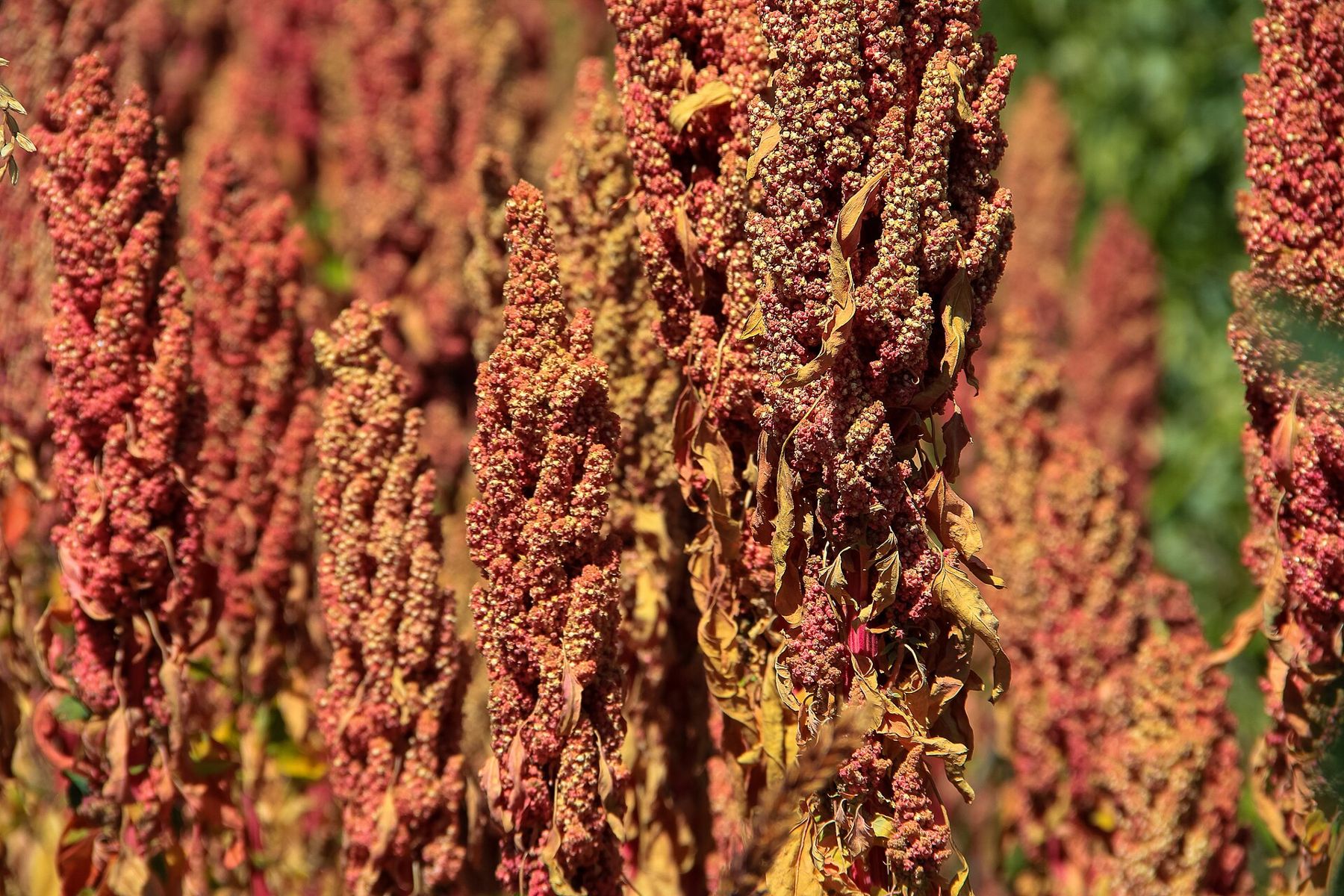
The island has communities in the north and the south, and its sites include a stone labyrinth known as the Chincana near the northern tip and the sacred rock associated with the origin story. In recent years disputes between communities have at times closed the northern part of the island to visitors, so the route you can walk depends on the moment. Ask in Copacabana before you go, and pay the small community fees you will be asked for on the paths; they are how the island earns from its visitors.
Whatever is open, the walking is slow. The paths rise and fall a hundred metres at a time, and at nearly 4,000 metres that is more than enough. Carry water, a hat and sun cream, because the reflection off the lake doubles the burn. Spend the night on the island in one of the small family guesthouses near Yumani, at the southern end.  3,656 mThree days on the salt Sunset over the water and the cold, star-thick night afterwards are the best of the trip.
The Inca steps and Pilko Kaina
In the morning, walk down the Escalera del Inca, the long stone staircase that runs from Yumani to the jetty, past a spring and channels of water and terraces of flowers. Going down is easy. Going up it on arrival is the hardest climb of the trip, which is why it is worth taking a donkey for the bags or simply taking an hour.
A path along the shore south of the jetty leads to Pilko Kaina, a two-storey stone building from the Inca period, with trapezoidal doorways and niches, looking across the water to Isla de la Luna. Some boats stop at that smaller island, where the ruins of a temple linked to women chosen for the service of the Sun stand above the shore. Then the boat turns back to Copacabana. On the way, the cold wind off the water is a reminder to keep a warm layer in your daypack even in bright sunshine.
Across to Puno
From Copacabana, the road runs a short way to the border at Kasani, where you leave Bolivia and enter Peru on foot, then carries on along the lake to Puno. Border formalities change from time to time; check the current rules for your passport before you set off. The landscape on the Peruvian side is the same high plain, with small fields walled in stone, flocks of sheep and the lake always on one side.
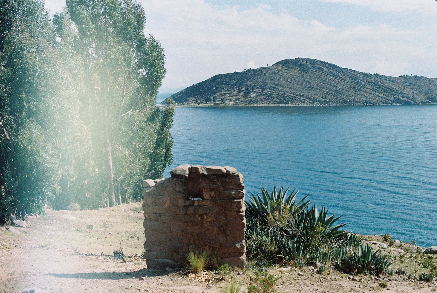
Puno sits at the edge of a wide, shallow bay and is a working market town rather than a resort, known in Peru as a capital of folk dance. If you are coming the other way, from Cusco, this is where the lake begins for you, and it is a good place to spend a first night of adjustment before climbing anything.
The Uros and Taquile
In the bay off Puno, the Uros people live on islands they build themselves from totora reeds that grow in the shallows. The islands are made of layers of cut reeds laid over floating blocks of reed roots, and they must be topped up with fresh reeds constantly as the lower layers rot. Houses, boats and watchtowers are reed too. The ground is soft and slightly springy underfoot.
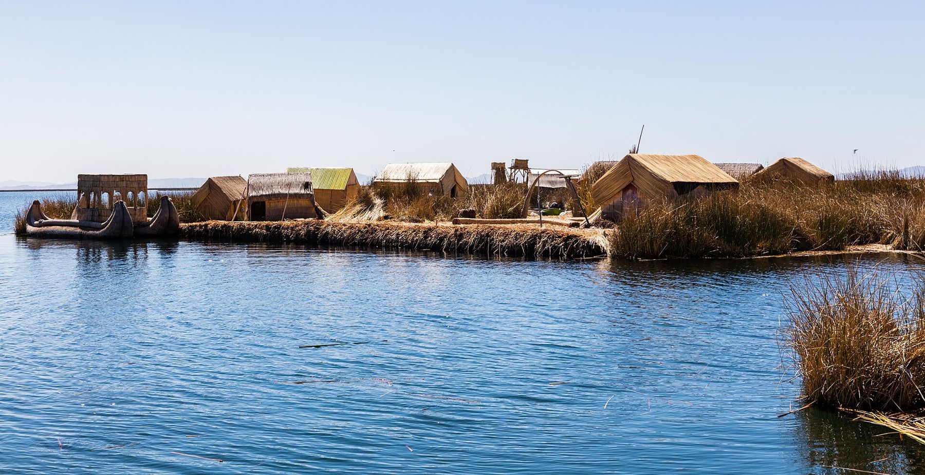
Visits are short and organised, and the islands closest to Puno are very much set up for them. That does not make them false; it is how many families earn a living. Listen to how the islands are made, buy something if you can, and do not wander into homes. Further out, Taquile is a rocky island of stone arches and terraces whose textile tradition, in which men knit and the colours of hats signal a person's status, is recognised by UNESCO. It is a long day by boat, with a steep path from the jetty, so take it at the same unhurried pace as Isla del Sol.
Living with the height
Titicaca is easy to underestimate. The lake looks restful and the days are slow, but you are sleeping close to 3,800 metres and walking higher. Headaches, poor sleep and breathlessness are common on the first nights; if they get worse, rest, go no higher, and go down or see a doctor. The guide to altitude sickness sets out the signs.
Dress for both ends of the day: sun hat and sunglasses at noon, fleece, hat and gloves at dusk. The dry months, May to October, bring clear skies and cold nights; the wet season brings afternoon storms and greener hills. Rooms are rarely heated, so ask for extra blankets.
From the Peruvian shore, the road and the railway run north-west over a high pass and down to Cusco, a little lower. From Copacabana, the road leads back across Tiquina to La Paz and its canyon. Either way, the last view is the same: the lake going silver as the bus climbs, and the white line of the Cordillera Real above it.