The Atacama Desert in northern Chile is one of the driest places on earth outside the poles. Some weather stations here have recorded almost no rain over long periods. At its eastern edge, where the desert rises into the Andes and the volcanoes line up along the borders with Bolivia and Argentina, the town of San Pedro de Atacama sits in an oasis at about 2,400 metres. It is the base for everything in this story, and the altitude it gives you is a useful first step.
Because the excursions from here go a great deal higher. The El Tatio geyser field lies at about 4,320 metres. The lagoons are above 4,000. And in the Atacama, altitude comes with two companions: extreme dryness, which takes moisture from your lips, eyes and lungs, and intense cold at night, which can drop far below freezing even when the afternoon was warm. The sun, meanwhile, is fierce at midday. Plan for all three.
Spend a day or two in San Pedro before going higher. Drink far more water than you think you need. Use lip balm and sun cream all day and wear sunglasses. Pack a down jacket, a hat and gloves for the dawn trip to the geysers.
San Pedro de Atacama
San Pedro is a town of adobe walls, dusty streets and pepper trees around a small plaza, with a whitewashed adobe church whose roof is made of cactus wood and clay. It has been a stop on trade routes across the Andes for a very long time, and the Atacameño people, also known as Lickanantay, have lived in the oases here since long before the Spanish arrived.
The first day is for walking slowly. The town is flat and small, so the effort is gentle, but you will notice the dry air and perhaps a light headache. A few kilometres north of town, a walk or bike ride leads to the Pukará de Quitor, a fortified pre-Hispanic settlement on a hillside, with views back over the oasis to the volcano Licancabur. Go in the late afternoon, when the light softens and the heat drops.
Valle de la Luna
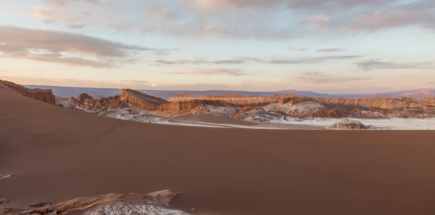
A short drive west of town, the Valle de la Luna, part of the Los Flamencos National Reserve, is a landscape of salt-crusted ridges, eroded clay and sand dunes that look like nothing else on the planet. The ground crackles as the salt expands and contracts with the temperature.
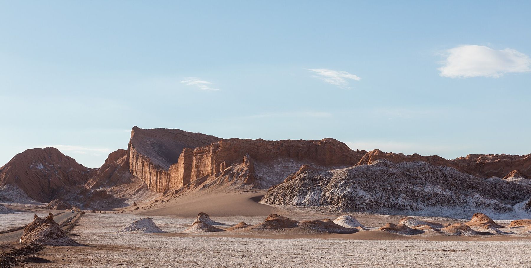
The visit is usually timed for sunset. Trails lead to a high dune and a ridge overlooking the Amphitheatre, a great curved wall of rock, and to the formations known as the Three Marys. Walking up the dune in soft sand is hard work even at this lower altitude. Take it slowly, and wait at the top as the sun goes down and the Andes to the east turn pink, then purple, then grey. 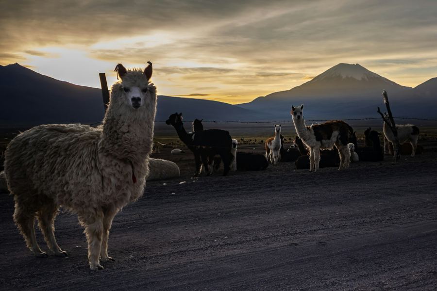 Before you goAltitude sickness, plainly
The altiplanic lagoons
South of San Pedro, the road crosses the edge of the Salar de Atacama, a vast salt flat, and passes Laguna Chaxa, a shallow lagoon where flamingos feed in the brine. Then it climbs steadily into the mountains to two high lagoons, Miscanti and Miñiques, at over 4,000 metres. They are deep blue against yellow grass and pale volcanoes, ringed by white salt.
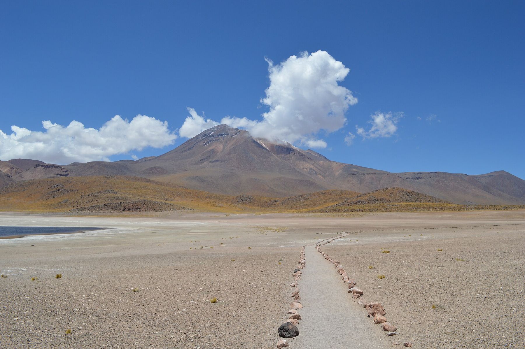
The wind up here can be brutal by midday, and the cold is sharp even in sunshine. Walk only along the marked paths; the lagoon shores are protected nesting areas. This trip is a good test of how you react to height before the dawn climb to El Tatio. If you feel ill at the lagoons, rest for an extra day before going higher.
El Tatio at dawn
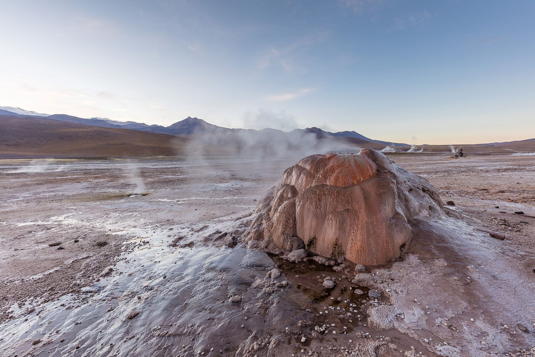
The trip to El Tatio starts in the dark, often around four or five in the morning, because the geysers are at their most dramatic at sunrise. The reason is the cold: when the air temperature is far below freezing, the steam from the vents condenses into tall white columns. Later in the morning, as the air warms, the columns thin and the field looks far less dramatic.
The drive climbs about 2,000 metres in a couple of hours, which is a big jump. Arrive slowly, walk slowly, and keep your warmest clothes on: temperatures at the field before sunrise are often well below zero, and the wind adds to it. El Tatio is one of the largest geyser fields in the world, with dozens of active geysers and fumaroles across a basin ringed by volcanoes.
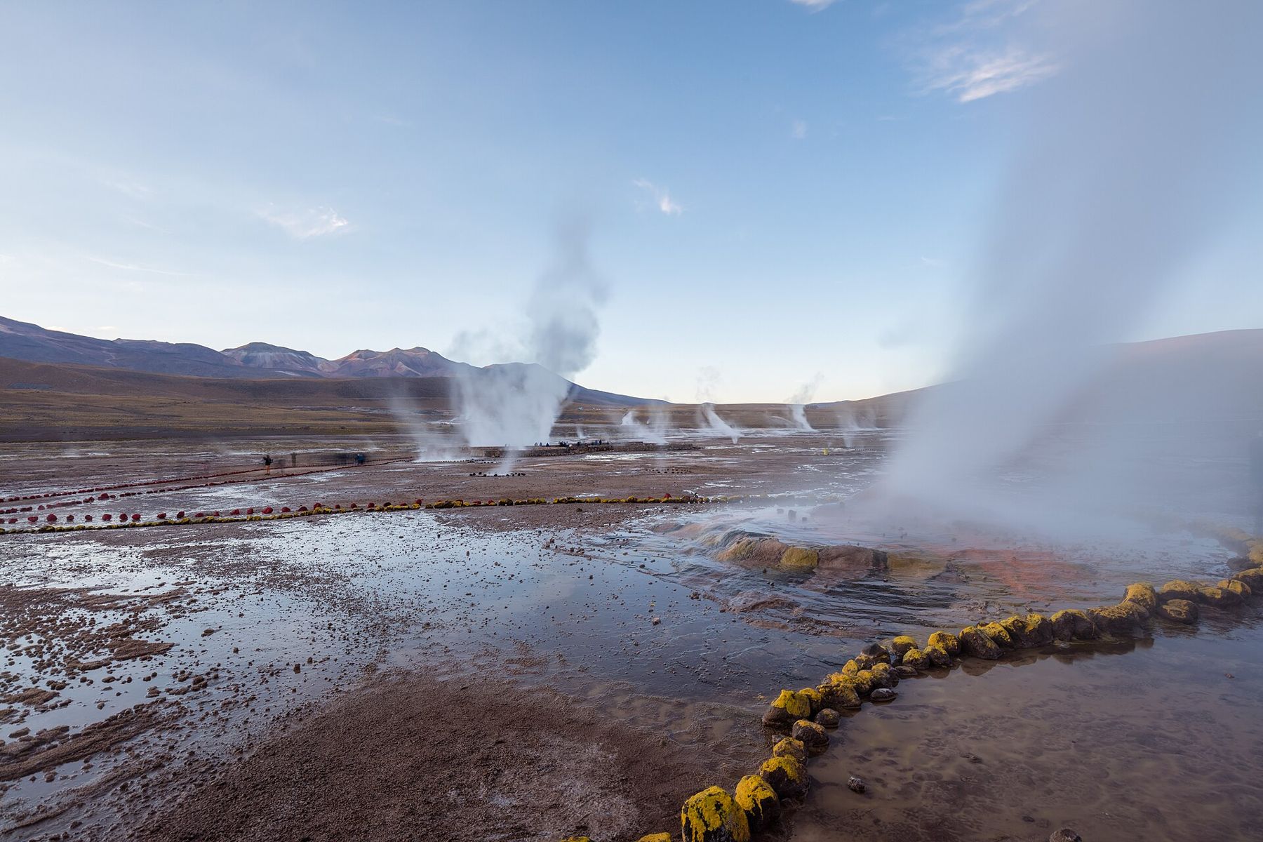
The field is managed by local Indigenous communities, and an entry fee is charged; the arrangements and amounts change, so check before you go. Stay on the marked paths and well back from the vents. The water is boiling, the crust around the pools can be thin, and people have been badly burned here.
The way down
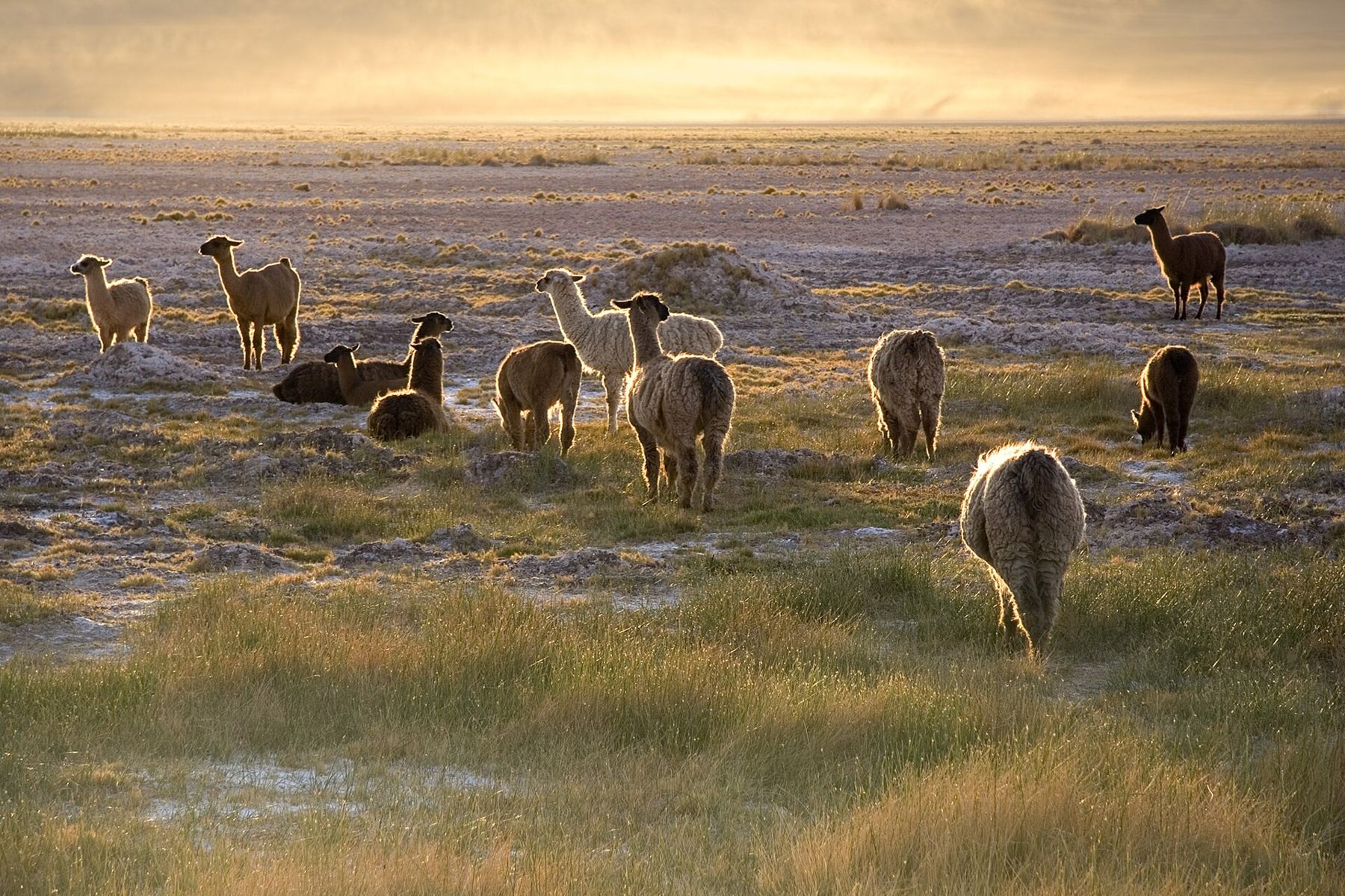
As the sun rises and warms the field, there is a natural thermal pool where those who are brave can take off their layers and bathe in warm water while the air around is still near freezing. Bring a towel and swimwear under your clothes, and dress quickly afterwards. Then the road descends through the high valleys, past bofedales, the green wetland pastures of the altiplano, and small villages where llamas graze, back to San Pedro.
After a dawn start at 4,320 metres, rest for the afternoon. Many people feel tired, dry and headachy. Drink water, eat lightly and sleep early.
Timing matters across the whole year. The southern summer, especially January and February, can bring the so-called altiplanic winter: afternoon storms over the high Andes that sometimes close the roads to the geysers and the lagoons. In June, July and August the dawn cold at El Tatio is at its most severe. The months either side are the easiest balance of clear skies and bearable mornings.
Onward
From San Pedro, the road runs east into Bolivia to begin the three-day crossing towards the Salar de Uyuni in reverse, passing the geysers and lagoons of the Bolivian side. South-east, the road crosses the Andes into Argentina and drops to Salta and its red gorges, much lower and much warmer. For the clothes you need for this mix of furnace and freezer, see the packing guide.
The Atacama is one of the best places in the world for stargazing, for the same reasons it is hard on the body: high, dry and clear. On your last night, step outside away from the lights of town. The Milky Way crosses the sky so bright it casts a faint shadow, and the cold at the top of the Andes is right there on the back of your neck.