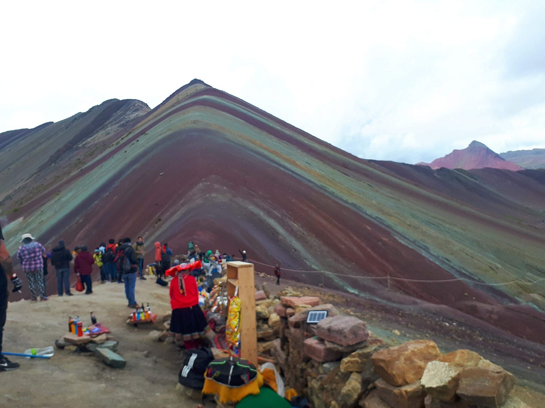
Vinicunca is a mountain in the Andes south-east of Cusco whose slopes are striped in red, ochre, yellow, green and lavender, like a pile of folded blankets. The colours come from layers of mineral-rich sediments, tilted and exposed by erosion. The viewpoint stands at 5,036 metres, higher than any summit in the Alps, and it is the highest place most travellers in Peru will ever stand.
Until about a decade ago, the mountain was barely known outside the local communities. Then photographs spread across the internet, and within a few years it became one of the most visited places in the Cusco region. The usual explanation is that snow and ice that once covered the slopes for much of the year have retreated as the climate warms, leaving the colours visible. Whatever the full story, the rush of visitors changed the life of the herding communities around it, which now run the trail, the horses and the entry.
This is a day trip, but not an easy one. The climb is short, but it is at an altitude where the air holds around half the oxygen it does at sea level, and the effort is out of all proportion to the distance. If there is a single place in this guide where the rule of arriving slowly matters most, it is here.
Before you go
Do not attempt Vinicunca in your first days in Cusco. Cusco itself is at about 3,400 metres, and three or four days there, or better still a few days in the lower Sacred Valley first, give your body time to adjust. Walk around the city, sleep well, drink plenty of water and see how you feel. If you are still getting headaches walking up Cusco's streets, wait longer or skip this trip.
People with heart or lung conditions, and anyone who has had altitude sickness before, should ask a doctor before going; the doctor is also the person to ask about medication. Pack warm layers, a hat and gloves, a waterproof jacket, sunglasses, high-factor sun cream and at least two litres of water. Snacks help. A walking pole helps more.
It also helps to know who you are visiting. The land around Vinicunca belongs to Quechua-speaking herding communities who have grazed alpacas and llamas on these slopes for generations. The money from the entry fees and the horses now matters a great deal to them, and the sudden traffic has also brought rubbish, erosion and arguments over who controls the trail. Carry everything out with you, stay on the main path, and ask before photographing people or their animals.
The drive
Trips leave Cusco in the dark, very early, and drive south-east along the valley of the Vilcanota river, then turn off onto smaller roads that climb through farming villages and up into the high puna grasslands. Many stop for breakfast in a village on the way. The drive takes around three hours, and much of the climb in altitude happens in the vehicle.
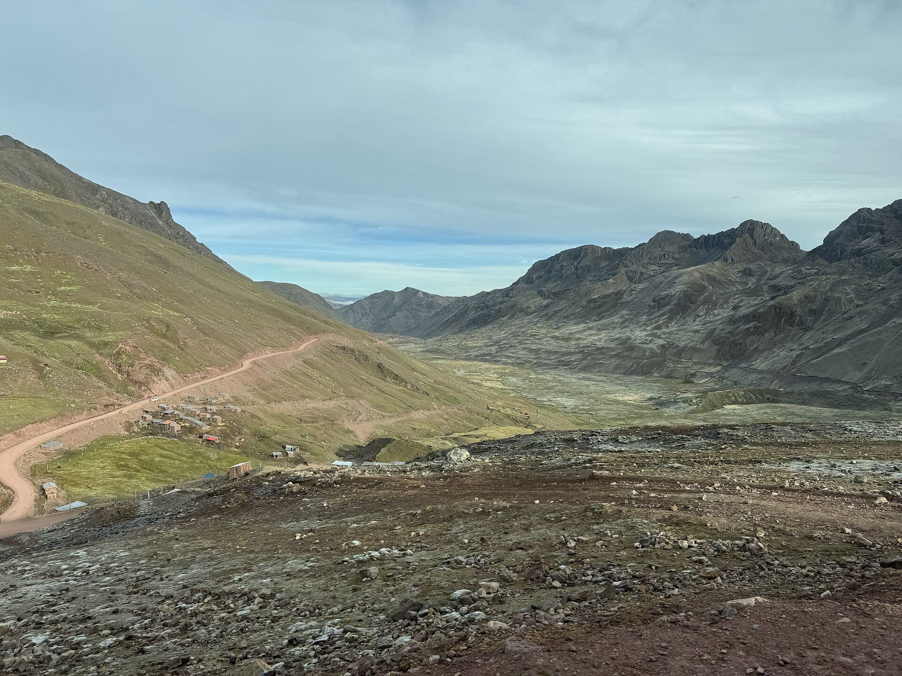
By the time you reach the trailhead, you are already above 4,500 metres. Step out slowly. The air is cold and very thin, the light is sharp, and the grass is white with frost in the dry-season mornings. An entry fee is charged by the local communities; it changes, so carry some cash.
The climb
The trail from the parking area to the viewpoint is a few kilometres long and climbs several hundred metres, first gently across the valley floor and then steeply up the last slope to the ridge. For a fit person at sea level it would be an easy hour. Here, many people take twice that, stopping every few steps.
The way to do it is slowly and steadily. Take small steps. Breathe deeply and rhythmically. Stop when you need to and do not try to keep up with anyone. Talk if you can; if you cannot talk, you are going too fast.  3,635 mThe Colca: terraces, condors and a long climb out Drink water at every stop. Eat something. Watch for signs that are more than tiredness: a headache that worsens, nausea, confusion, stumbling, or a cough with breathlessness at rest. If you have any of these, stop climbing and go down. The top is not worth it.
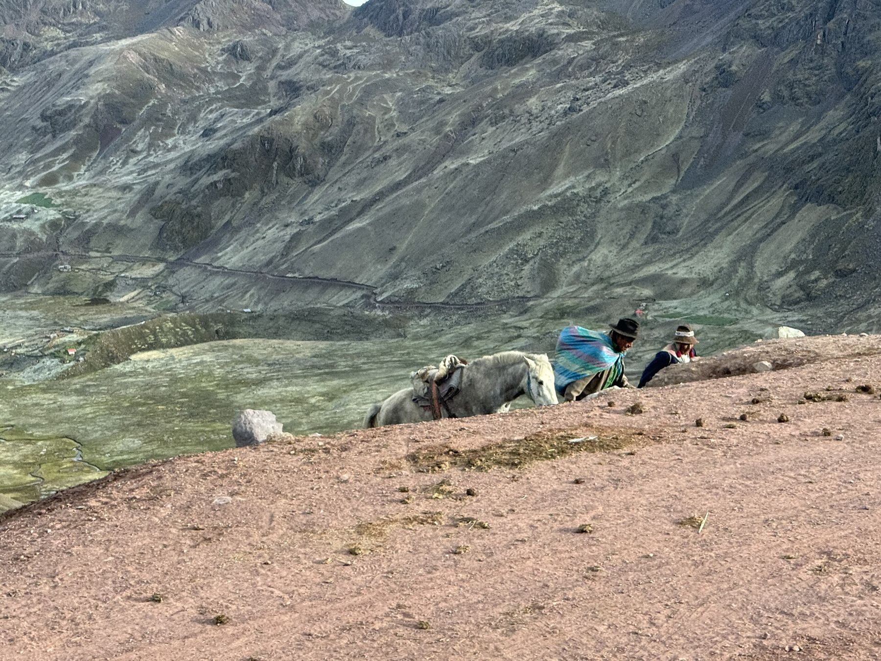
Local families offer horses for much of the way up, and many visitors use them. They are a good option for anyone struggling. The horses do not go all the way: the last steep stretch to the ridge is on foot for everyone.
At the top
The ridge is narrow and windy, and on a clear day it gives two views. One is Vinicunca itself, the striped slopes falling away towards the valley, the colours strongest in soft light or after rain and duller in harsh noon sun. The other, in the opposite direction, is Ausangate, a great glaciated mountain of more than 6,000 metres, holy to the people of the region, with its ice hanging over the brown hills.
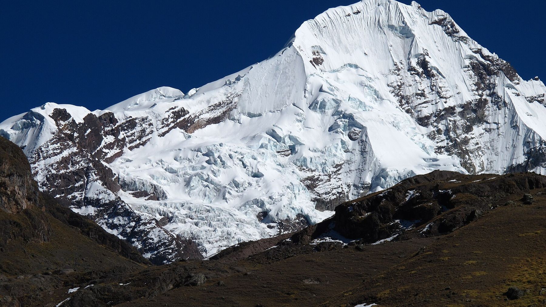
Many people stay only a few minutes, and that is wise. The wind cuts through clothes, and the sun at this altitude burns fast. Take your photographs, take in the view, and start down before you get cold. The ridge can be crowded in the late morning; earlier is quieter.
The Red Valley
From near the viewpoint, a path continues over the ridge into the Red Valley, a deep valley of rust-red earth and rock. Some trips include it, adding distance and time at altitude. It is spectacular, and quieter than the main ridge, but only worth it if you are feeling well. If you are tired or have a headache, skip it.
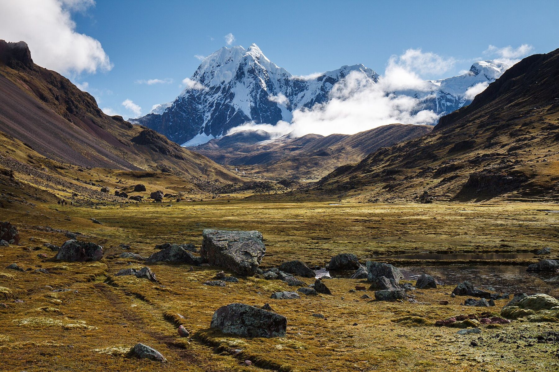
For those who want the colours without the full height, another striped mountain in the region, Palccoyo, is reached by a much shorter and gentler walk. It is lower, though still well above 4,000 metres.
Down again
The walk down is quicker and easier on the lungs, though it is hard on the knees. Most people feel better with every metre of descent. Back at the vehicle, rest, drink and eat before the long drive back to Cusco. Many people sleep the whole way.
Back in the city, take the evening easy. A headache that goes away with rest and water is usual. One that persists or worsens, or symptoms like confusion or breathlessness, need a doctor; the guide to altitude sickness explains the warning signs.
The dry season, roughly May to September, brings the clearest skies and the coldest mornings. The wet months bring cloud, rain and sometimes snow on the trail. Whenever you go, Vinicunca is the top of this guide's elevation profile: the highest point, and the place where every other story in this guide starts to look like a lowland walk.