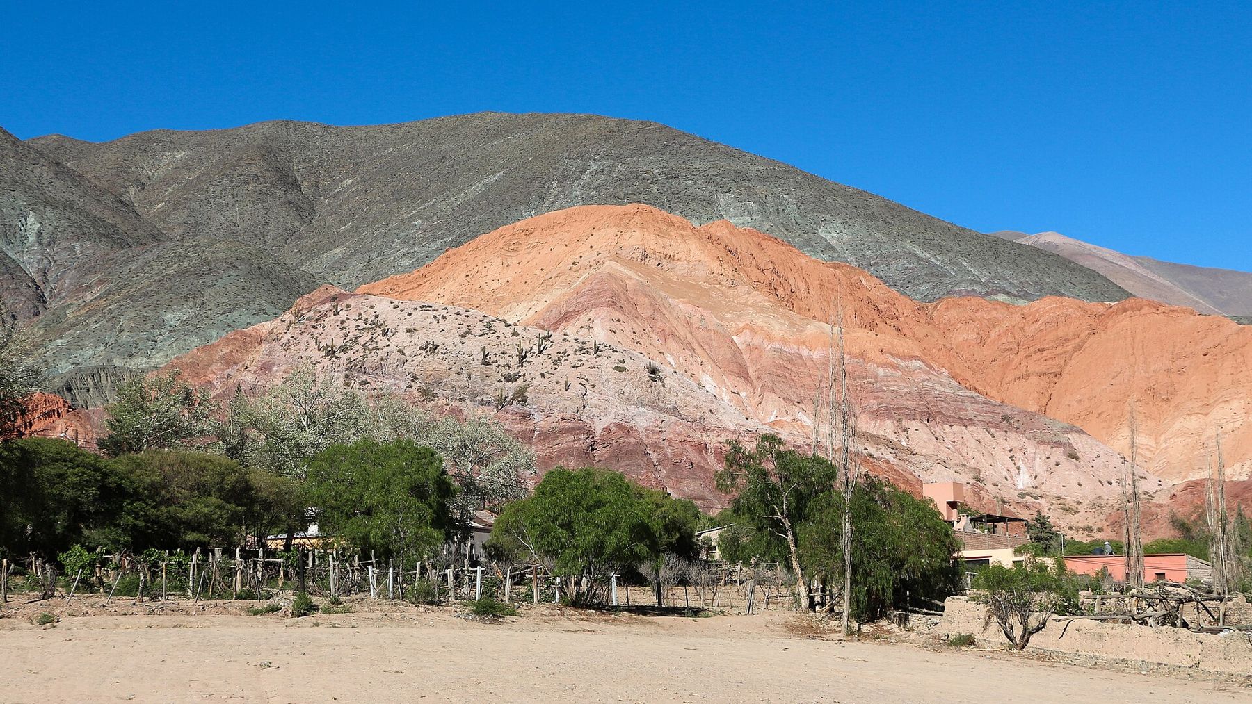
Salta sits in the Lerma Valley at 1,152 metres, a green bowl of farmland surrounded by forested hills. Beyond them, in every direction except east, the land rises fast into dry mountains of red, purple, ochre and green rock. The city was founded by the Spanish in 1582, on the route between the silver mines of Potosí and the plains to the south, and it still has more colonial buildings than almost any other city in Argentina. Argentines call it Salta la Linda, Salta the beautiful.
This trip uses Salta as a base for two loops. The first heads north into the province of Jujuy and up the Quebrada de Humahuaca, climbing from about 1,200 metres to nearly 3,000. The second heads south through the red sandstone canyon of the Quebrada de las Conchas to the wine town of Cafayate. A hire car gives the most freedom; buses and day tours cover both routes.
Altitude, sun and season
In Salta itself, the altitude makes no real difference. The air holds most of the oxygen you are used to, and the climate is mild. Up the Quebrada de Humahuaca it is a different matter. Humahuaca town stands close to 3,000 metres, where the air holds only about 70 percent of the oxygen at sea level, and some viewpoints on the way are higher still. Climb gradually, as this route does, sleep in Purmamarca or Tilcara rather than going straight up and down in a day, walk slowly uphill and drink plenty of water.
The sun is the constant. These are dry, open mountains with little shade, and the light is intense even in winter. Wear a hat, sunglasses and sunscreen. Nights are cold in the high valleys, with frost in winter, so pack a warm jacket.
Rain falls mainly in the summer, roughly December to March, often as afternoon storms. They can bring flash floods and landslides that close roads in the gorges for hours or days. The dry months from April to November are the easier time to travel.
Day 1: Salta
Start in the Plaza 9 de Julio, the central square, shaded by tall trees and surrounded by colonial arcades. On its north side stands the cathedral, painted pink and cream. Opposite it is the Cabildo, the old colonial town hall, a long white building with two storeys of arches.
On the plaza is the Museo de Arqueología de Alta Montaña. It holds the bodies of three Inca children found in 1999 near the summit of the Llullaillaco volcano, more than 6,700 metres up on the border with Chile, where they were left as offerings some five centuries ago. The cold and dry air preserved them in remarkable condition. They are shown one at a time, in a quiet room, and the museum explains the ritual with care.
Two blocks east is the church of San Francisco, its facade a deep red with gold and white decoration and a tall bell tower that stands above the roofs of the old centre. In the late afternoon, take the cable car or the long path of steps up Cerro San Bernardo, the hill on the east side of town, for the view over the city and the valley at sunset.
In the evening, look for empanadas salteñas, small and juicy, baked or fried, and for a peña, a place where folk music is played late into the night.
Days 2 to 4: The Quebrada de Humahuaca
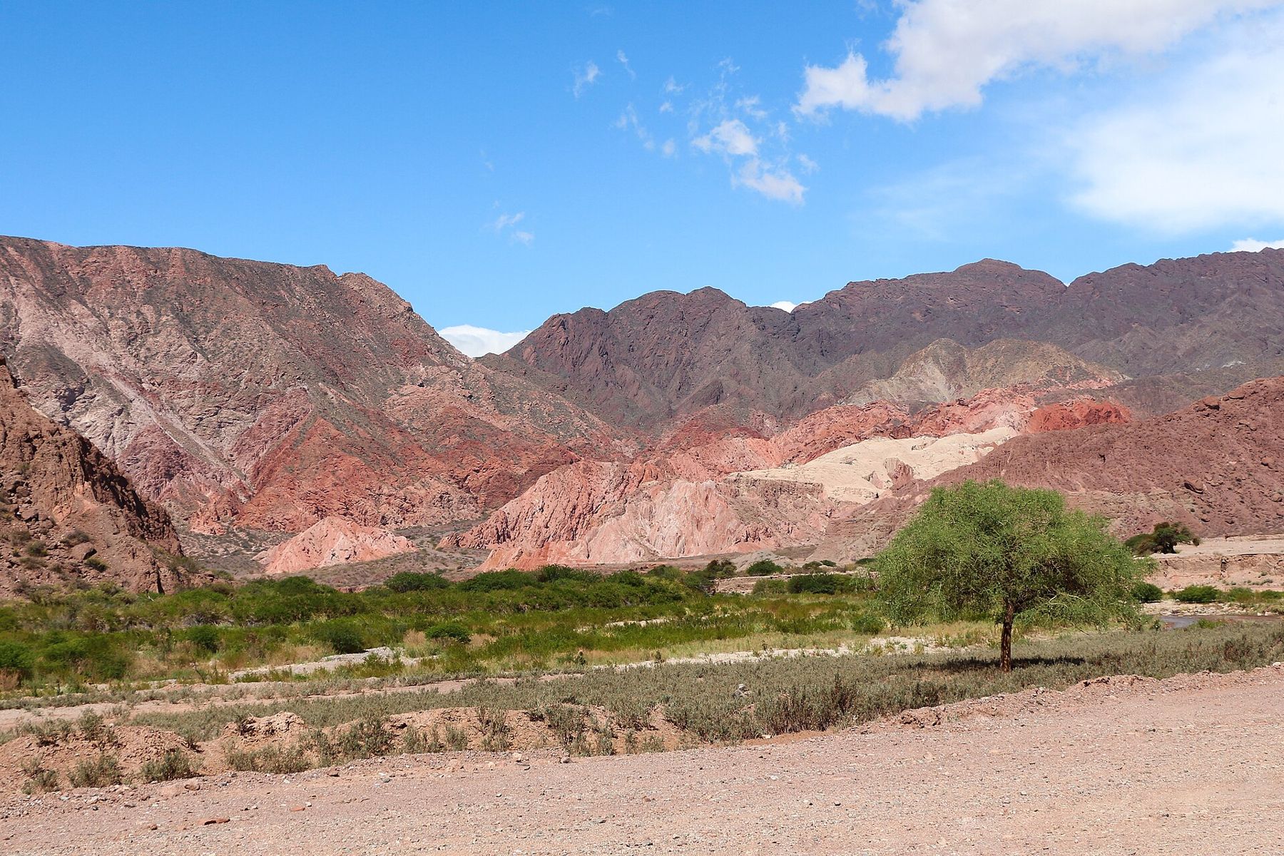
The road north passes the city of San Salvador de Jujuy and then turns up the valley of the Río Grande. This is the Quebrada de Humahuaca, a long, narrow mountain valley listed by UNESCO in 2003 as a cultural landscape. People have lived and travelled along it for some ten thousand years, and it was a route of the Inca road. Today it is lined with small adobe villages, churches and farm plots, against mountains striped in every colour.
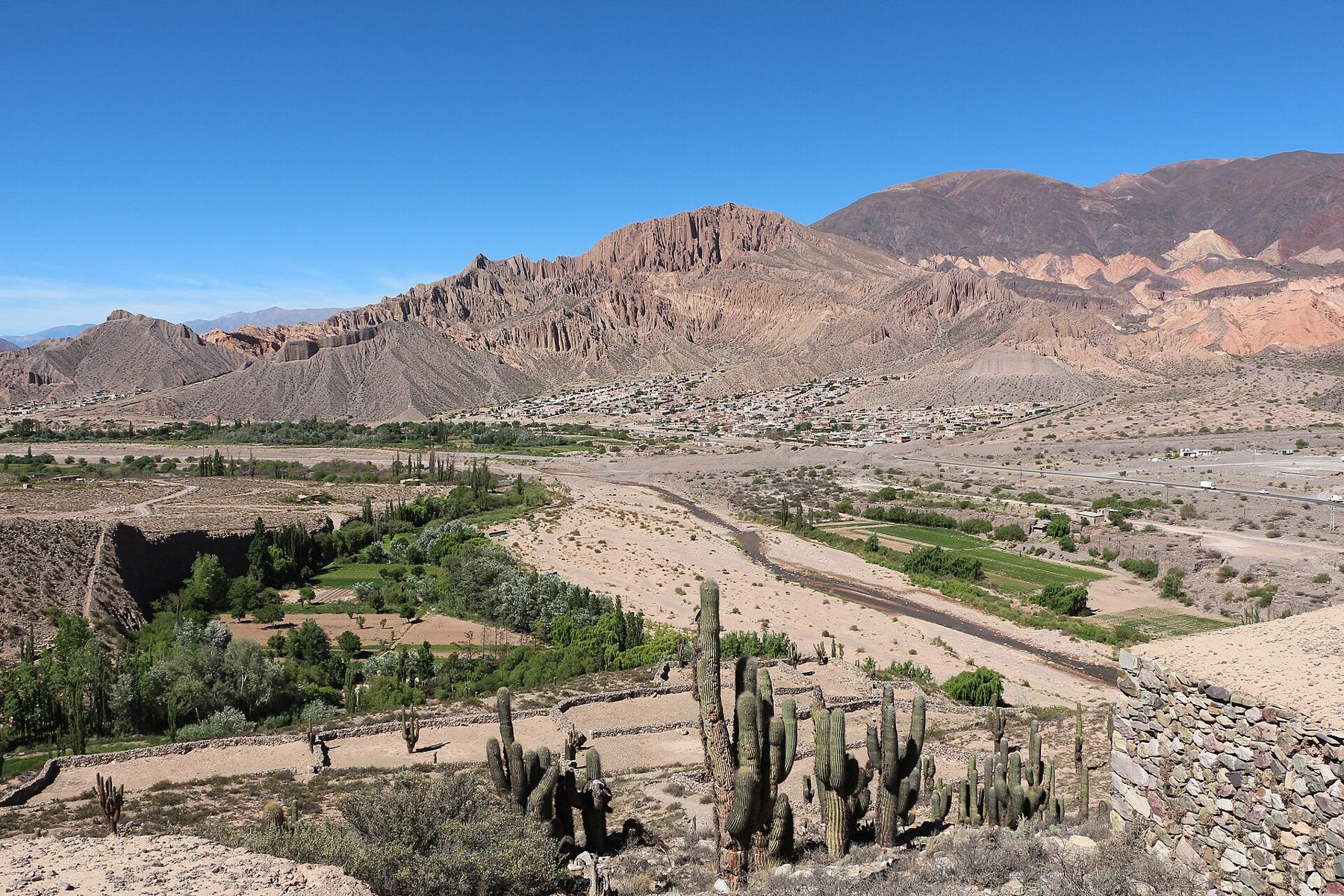
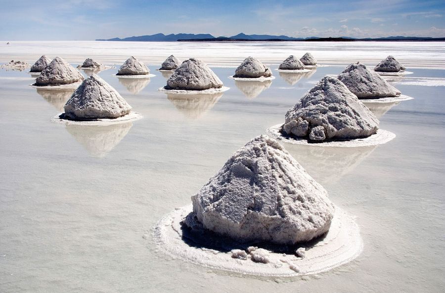
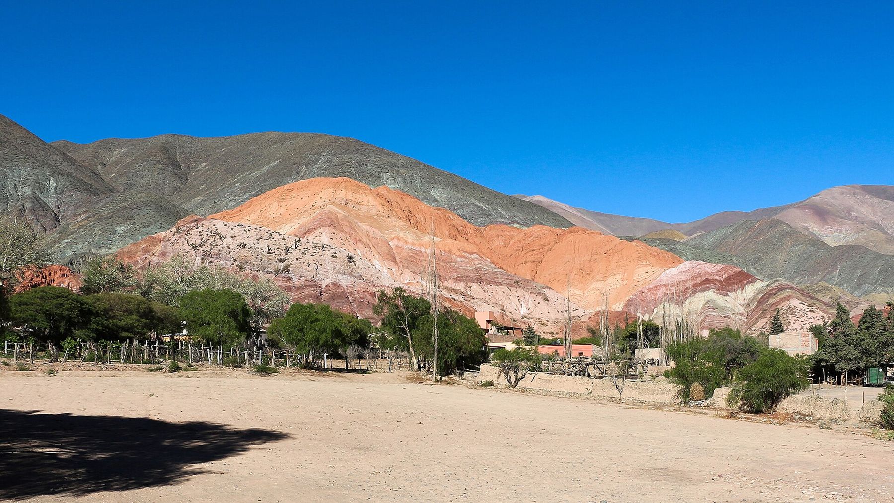
Turn off at Purmamarca, a village of adobe houses below the Cerro de los Siete Colores, the Hill of Seven Colours. The colours come from layers of different sediments laid down over millions of years and tilted up by the mountains: red, pink, purple, yellow, green and white. A dirt path, the Paseo de los Colorados, loops around the hills behind the village, and the light is best in the early morning. From Purmamarca a paved road climbs steeply west over a pass above 4,000 metres to the Salinas Grandes, a white salt flat. Go only once you have spent a night or two at altitude.
 3,656 mThree days on the salt
Farther up the valley, Tilcara has the Pucará de Tilcara, a fortified hilltop settlement built long before the Inca arrived and partly reconstructed in the twentieth century. A little north, a marker beside the road shows where the Tropic of Capricorn crosses the valley. At Uquía, the small white church holds a series of colonial paintings of angels dressed as Spanish gentlemen and carrying guns.
Humahuaca, at the top of this section, is a town of narrow streets, adobe walls and a large independence monument at the top of a long staircase. Beyond it, a rough road leads east toward the Serranía de Hornocal, a ridge of folded rock with striped bands of colour, seen from a viewpoint above 4,000 metres. Sleep in the valley, then drive back down to Salta the next day.
Day 5: The Quebrada de las Conchas
South of Salta, the road to Cafayate runs through the Quebrada de las Conchas, a canyon of red sandstone shaped by wind and water. The road follows the river and stops are signposted. The Garganta del Diablo, the Devil's Throat, is a narrow slot in the rock you can walk into. The Anfiteatro is a tall, round chamber open to the sky, where the echo carries every sound. Between them are towers and walls of red rock with names like the Castles and the Frog.
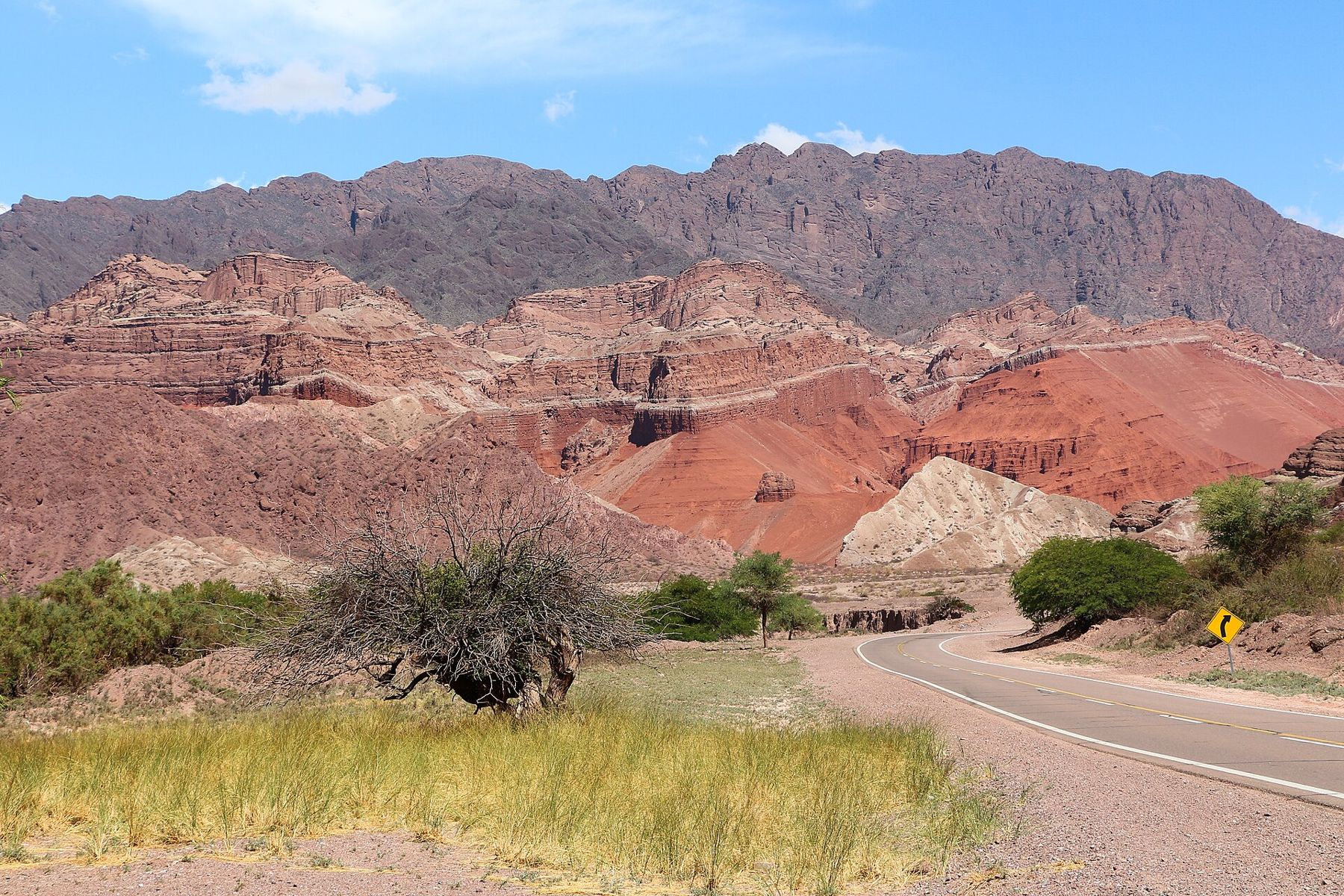
The altitude here is moderate, between about 1,200 and 1,700 metres, but the sun is fierce in the canyon and the rock reflects the heat. Stop often, carry water and walk in the morning or late afternoon.
Day 6: Cafayate
Cafayate stands at the head of the Calchaquí Valleys at about 1,700 metres, a small town surrounded by vineyards against dry mountains. The local grape is torrontés, which makes an aromatic white wine. The vines grow under strong sun, with cool nights and little rain. Many wineries around town are open to visitors, and the town square is a pleasant place to spend an evening.
To return, take the same road back through the Conchas in the late-afternoon light, when the red rock turns almost violet. Or, with more time, go on north through the Calchaquí Valleys to Cachi and back over the mountains to Salta through a national park of tall cardón cactus.
Pacing the week
The northern loop is where altitude matters. Go up slowly, sleep at the middle heights first, and save the highest viewpoints for the second day. If you have a headache or feel very short of breath, stop climbing and go lower; see a doctor if it does not improve. The southern loop is lower and gentler, but the sun is just as strong.
Where the profile goes next
From the top of the Quebrada, the road continues north to the Bolivian border and the Altiplano. Westward, a high pass crosses to Chile and the Atacama desert, climbing to well above 4,000 metres. Southward along the Andes, the next valley stop is Mendoza and its vineyards, lower and drier, with Aconcagua on the horizon. Or follow the high road north to the white colonial city of Sucre in Bolivia.
Before you leave Purmamarca, climb a little way up the path behind the village at dawn, and watch the first light reach the Hill of Seven Colours one band at a time.