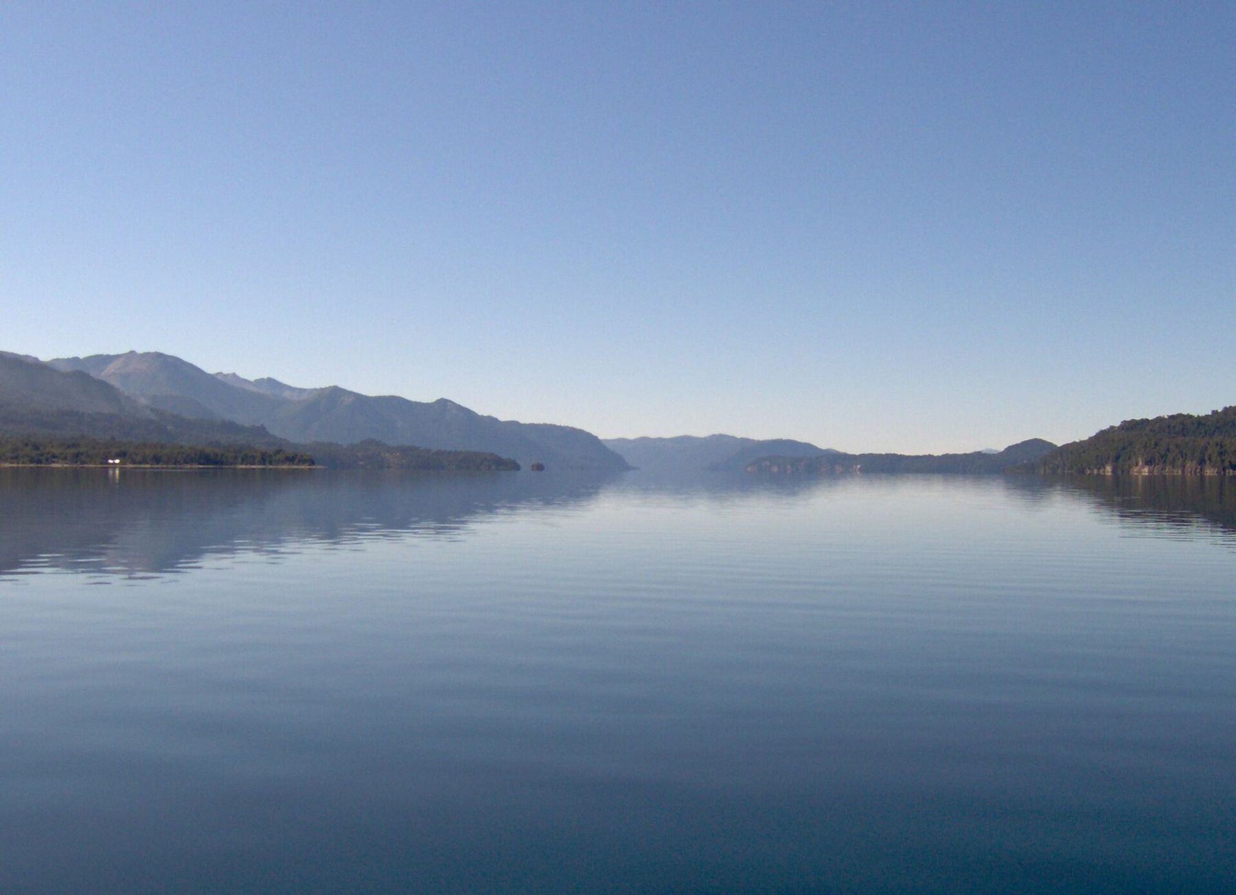
San Carlos de Bariloche stands on the southern shore of Nahuel Huapi, a long glacial lake that reaches deep into the Andes in fingers and arms, ringed by forest and snow mountains. The town sits at about 893 metres, which is high enough to feel the clear mountain light and low enough that the air asks nothing of you. Here there is no altitude to adjust to. There is weather instead.
In the cold south, wind, latitude and the lakes do the work that altitude does in the north. Bariloche is at about 41 degrees south, and the westerlies that cross the Pacific and the Andes arrive here every day, roughening the lake into whitecaps by afternoon. The sun is strong in the dry, clean air, and in spring the ozone over the far south thins, so sun protection matters here as much as on the altiplano. Summer days are long and mild; nights are cool even in January; and the weather can turn from bright to cold rain in an hour.
The lake and the town
Nahuel Huapi is the heart of Argentina's oldest national park, and the lake is the first thing you see and the thing you keep looking at. It covers more than 500 square kilometres, and its water is clear, deep and cold all year: swimming is for the brave, in the warmest weeks. From the waterfront, the far shore is a line of dark forested hills with higher, whiter peaks behind them.
The town climbs from the shore in steep streets of stone and timber houses, many with pitched roofs that recall the Alps. That is no accident. Bariloche was settled in the late nineteenth and early twentieth centuries by, among others, immigrants from Switzerland, Germany and northern Italy, and when the town was given its civic heart in the 1930s and 1940s, the architects chose a style of local stone, dark wood and slate that has defined it ever since.
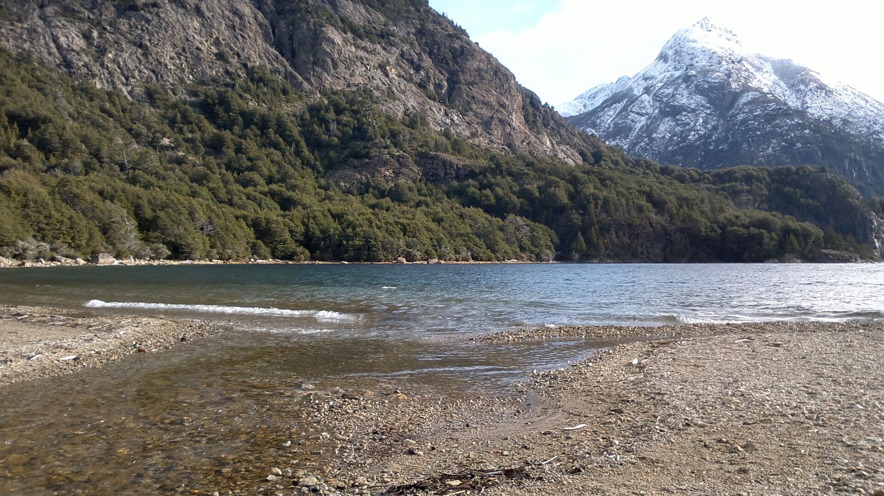
The town's main streets are lined with shops selling chocolate, which has been made here for decades, and with craft-beer taps, both of which have become part of the town's identity. Expect crowds in the summer holidays and in the ski season, when Argentine families and school groups arrive in large numbers.
The Civic Centre
The Centro Cívico is the square that holds the town together: a wide paved plaza open to the lake on one side and framed on the others by buildings of grey-green stone and dark timber, with arcades, a clock tower and steep roofs. It was built around 1940 and was planned as a single ensemble, which is why it looks so coherent. The buildings house the municipality and the Museo de la Patagonia, which covers the region's natural history and its Indigenous peoples, as well as the conflicts of the late nineteenth century that brought this land under Argentine control.
The plaza is the town's meeting point, and on a clear day the view across the lake from the waterfront below it is the classic image of Bariloche. When the wind is up, the square funnels it: keep a windproof layer handy even on a sunny afternoon.
Cerro Campanario
A few kilometres west of town along the lakeshore road, a chairlift climbs Cerro Campanario, a modest forested hill of about 1,050 metres. There is also a steep footpath for those who prefer to walk, short but stiff. From the top, the view is widely considered among the finest in Argentina, and it is easy to see why.
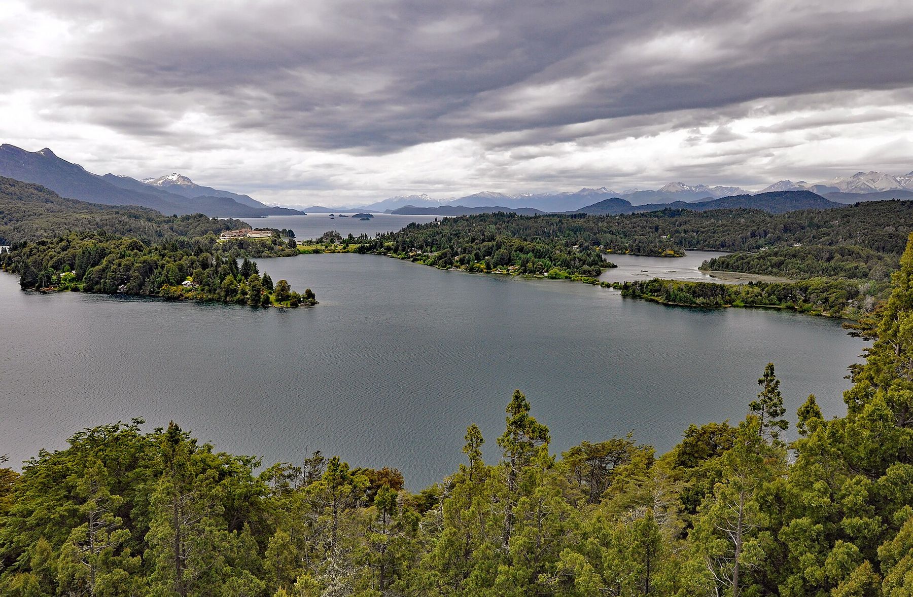
Below you, the land breaks into water in every direction. Nahuel Huapi spreads to the north and east; Lago Moreno curls around peninsulas to the west; the Llao Llao peninsula lies between them, with a large hotel on its hill; and smaller lakes and lagoons glint further off. On the horizon stand snow mountains, including Tronador, the extinct volcano on the Chilean border, white in every month.
Below you, the land breaks into water in every direction.
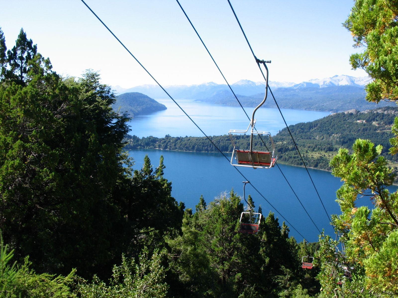
Go early in the morning or late in the afternoon for the softest light, and take a jacket: the summit is exposed and the wind can be sharp. On a clear evening, the low sun lights the lakes one after another as it sets. 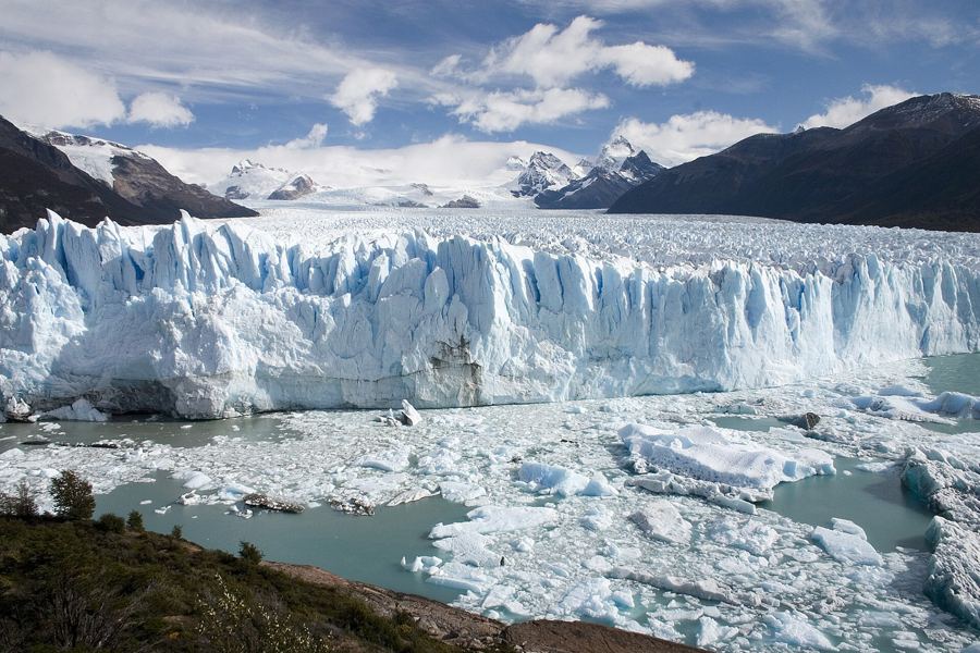 200 mPerito Moreno, the glacier that comes to you
Circuito Chico
The Circuito Chico is the short circuit, a loop of roughly 60 kilometres west of town that takes in Campanario, the Llao Llao peninsula, the lakes and forest. It can be driven in a few hours, cycled in a day, or done in part by bus. Along the way are a string of viewpoints and short walks.
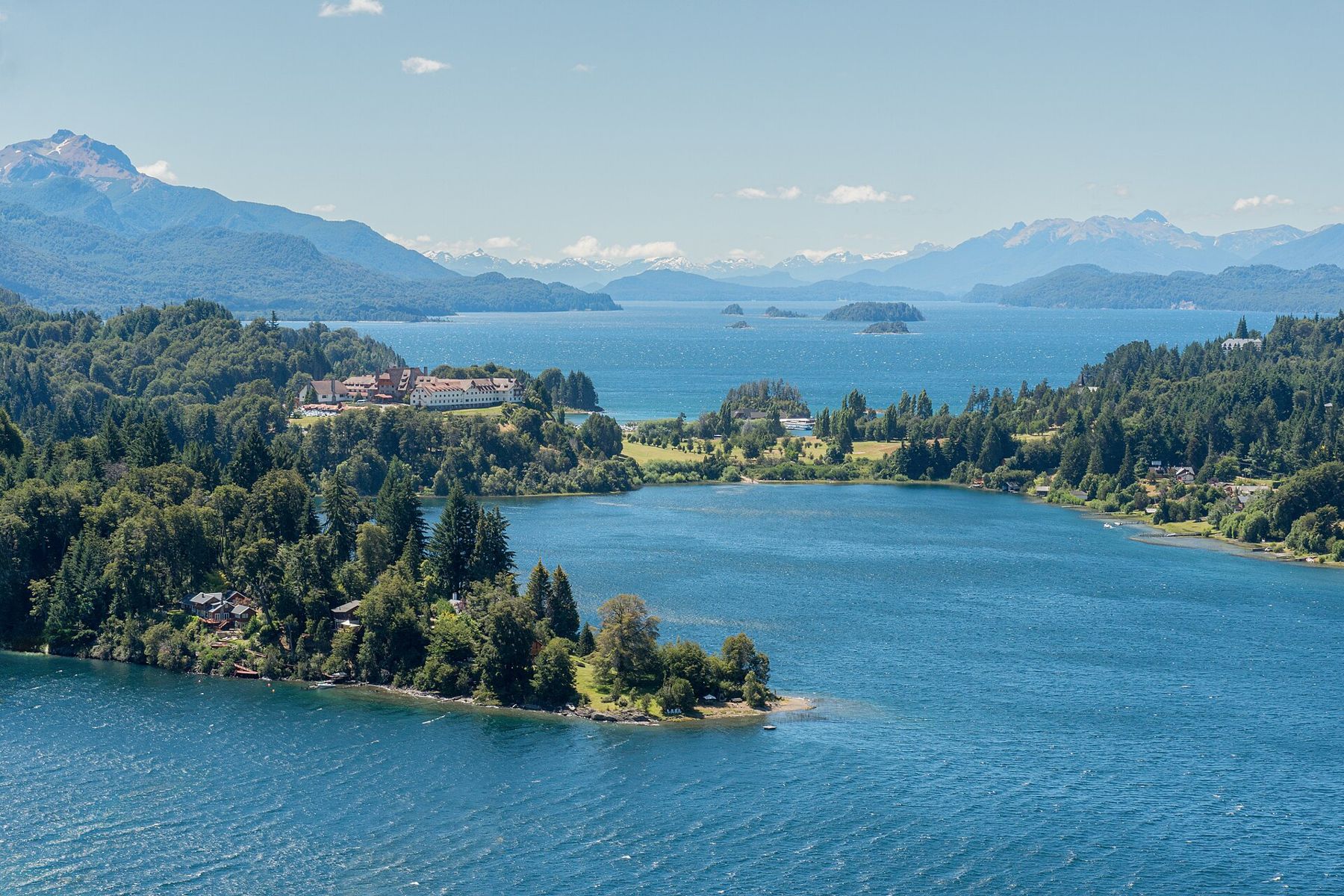
The road follows the shore of Nahuel Huapi to Puerto Pañuelo, the small port where boats leave for Isla Victoria and the arrayán forest on the Quetrihué peninsula, a grove of trees with cinnamon-coloured bark that peels in thin sheets. Above the port, the small timber and stone chapel of San Eduardo looks across the water. The road then loops through forest of coihue and cypress past Bahía López, under the craggy Cerro López, and back along the shores of Lago Moreno to the viewpoint known as Punto Panorámico, which looks back over the peninsula.
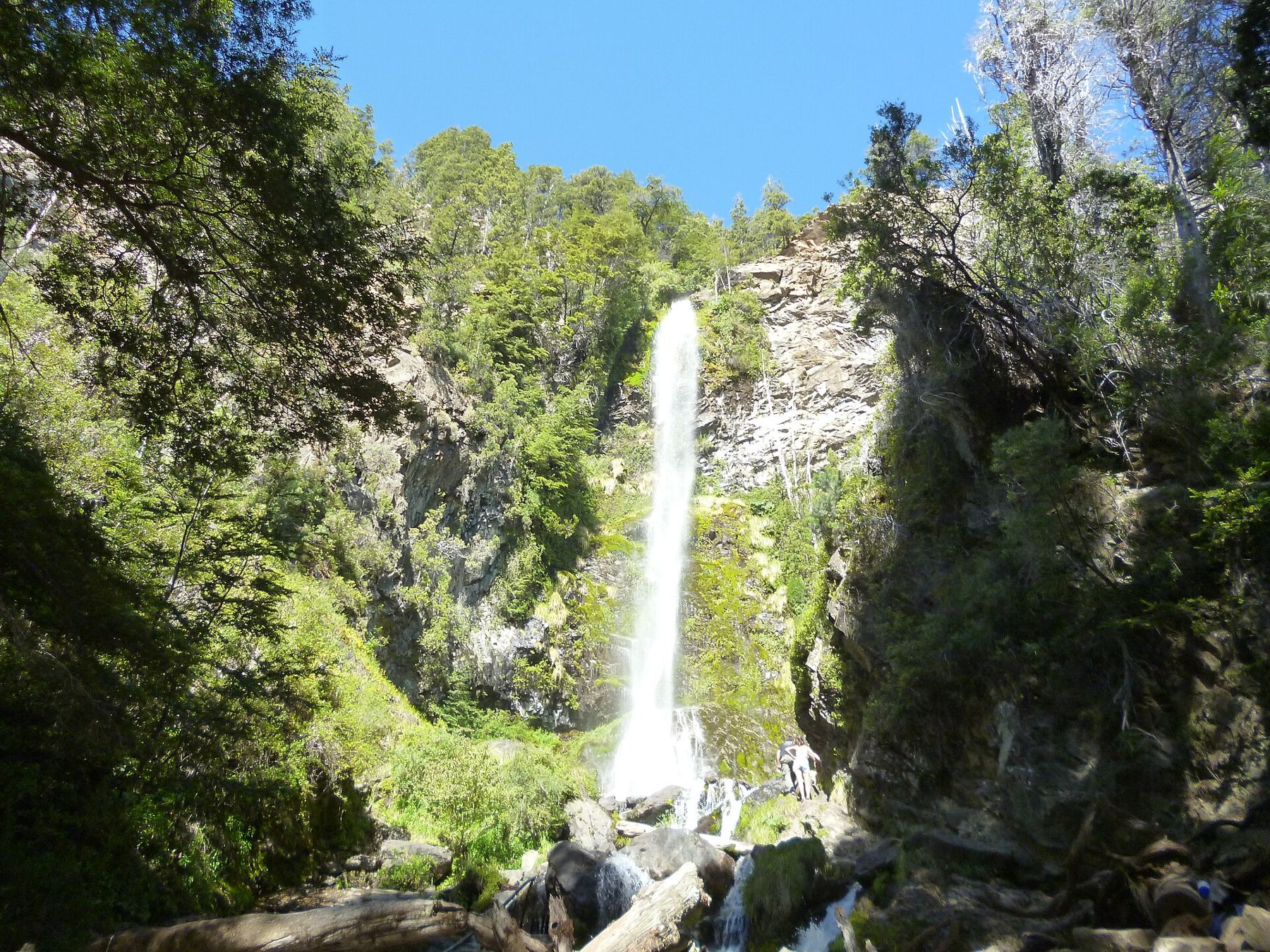
The forest walks on the peninsula, including a short trail through tall coihue trees, are an easy hour each, and the shade under the trees is the only calm place when the wind is roaring on the water. Cycling the loop is popular, but the road has steep hills and narrow shoulders, and the wind on the lakeside stretches can be exhausting. Start early, carry water and wear bright clothing.
The Seven Lakes road
North of Bariloche, the road follows the shore of Nahuel Huapi to Villa La Angostura and then continues north as the Camino de los Siete Lagos, the Seven Lakes road, to San Martín de los Andes. It is about a hundred kilometres of forest, rivers and lakes, with names like Correntoso, Espejo, Escondido, Villarino, Falkner, Machónico and Lácar. The road is now paved along its length, and it is one of the classic drives in Argentina, best taken slowly with stops at the viewpoints and beaches.
The lakes are clear and cold, ringed by forest that turns red and gold in autumn. In summer the beaches fill with families; in autumn, from late March into April, the colours are at their peak and the traffic thins. The weather on this stretch changes fast: the high Andes to the west catch the rain, the land to the east is far drier, and you can drive out of a shower and into sunshine in the space of a few kilometres.
Wind, weather and when to go
Summer, from December to March, brings the long, mild days that suit walking, cycling and boats, with daylight until late in the evening. Even then, pack for cold: mornings are fresh, the lake is icy, and the wind off the water can make a sunny afternoon feel chilly. A windproof jacket, a warm layer and a hat cover most days. Sun protection is essential, especially in spring and early summer.
Autumn, in March and April, is colder, quieter and golden. Winter, from June to September, brings snow to the mountains and skiers to Cerro Catedral, the large ski area just outside town; the town itself sees rain and snow and short days. Spring is windy and changeable. The guide to the seasons sets the lakes against the rest of the continent.
North and south from here
Bariloche is the northern door to Patagonia. From here the long road south, the Ruta 40, runs down the eastern edge of the Andes through steppe and wind to El Chaltén and Fitz Roy, a long way further south, where the mountains are granite and the wind is stronger. North, the same road leads up the Andes to Mendoza and its vineyards, drier, hotter and a little lower, where the mountains are bare and the water comes from snow.
Before you leave, go down to the shore below the Civic Centre in the late afternoon. The wind drops a little as the sun sinks, the lake turns from blue to silver, and the snow on the far peaks goes pink for a minute, then grey, as the cold comes up off the water.