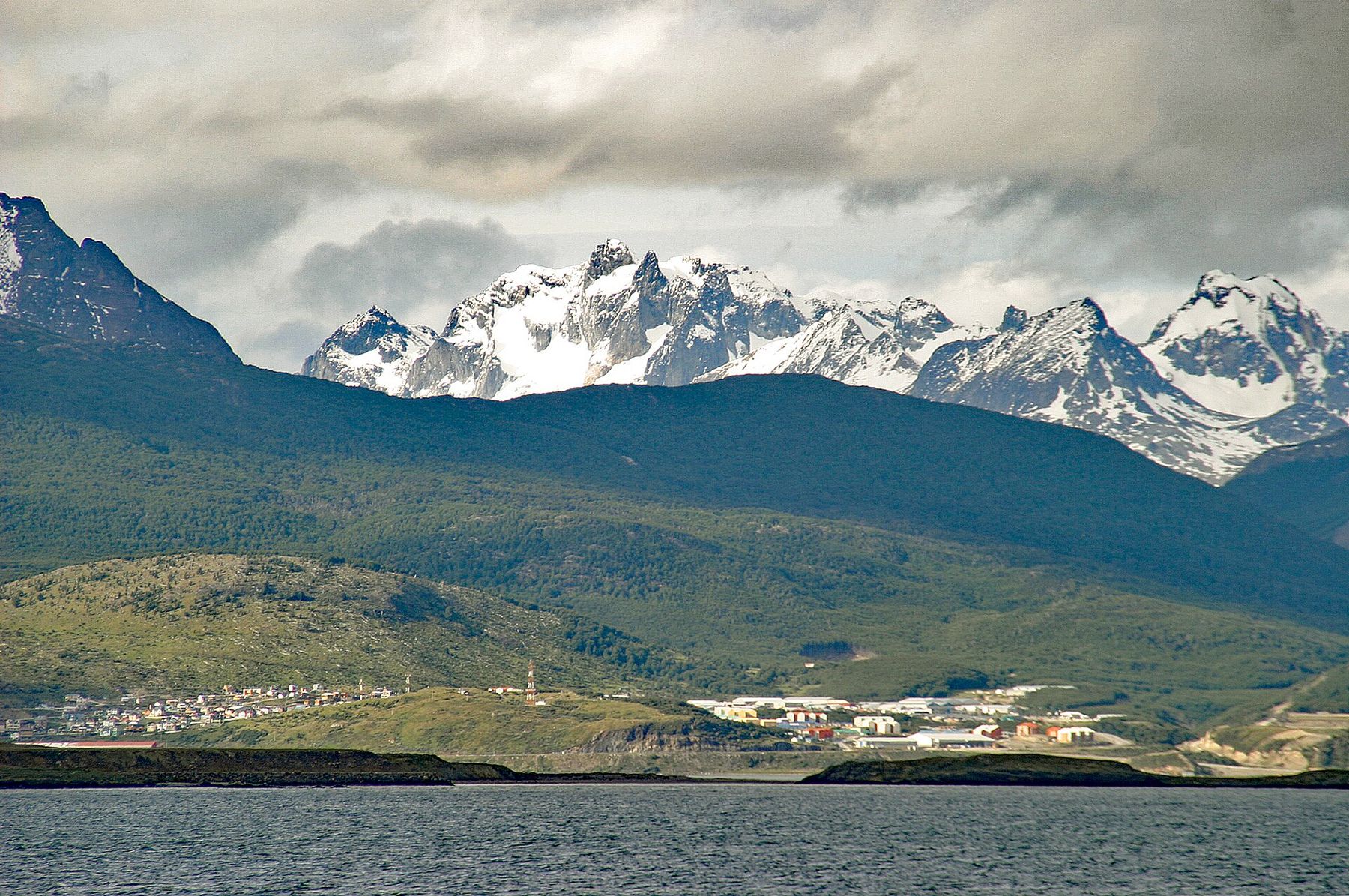
Ushuaia is the capital of Argentine Tierra del Fuego and is usually called the southernmost city in the world. It stands on the north shore of the Beagle Channel at about 54 degrees south, a spread of houses with tin roofs in red, green and blue climbing the slopes from the water, with the jagged, snow-streaked mountains of the Martial range behind. A small Chilean town across the channel lies further south, but Ushuaia is the last city of any size before Antarctica, and most of the ships that sail there leave from its port.
There is no altitude here; the city is at sea level. What takes its place is the weather of the far south. The wind blows off the channel and down from the mountains. The weather changes many times a day, and snow can fall in any month. Summer temperatures are cool, often around ten degrees in the afternoon. And the daylight swings to extremes: around seventeen hours in December, and barely seven in June. The sun, in spring and early summer, is strong, and the ozone above this latitude thins in spring, so sun protection is as important as warm clothes.
The city on the channel
The city's main street, San Martín, runs parallel to the waterfront, lined with shops and outdoor-gear stores. Below it, the waterfront has the port, the cruise ships and the small boats that go out on the channel, and a sign announcing the end of the world. Above it, the streets climb steeply to wooden houses and the mountains.
Ushuaia was a mission and a remote outpost before it was a city. An Anglican mission was established here in the 1870s, among the Yámana people, the canoe-travelling inhabitants of the channels who had lived here for thousands of years. Argentina established a permanent presence in 1884. The arrival of settlers, missions and disease devastated the Indigenous peoples of Tierra del Fuego within a few decades. The small Museo del Fin del Mundo and a museum dedicated to the Yámana tell this story plainly.
The city grew slowly until the second half of the twentieth century, when it became a centre for industry, then for tourism and for Antarctic expeditions. It is now a busy town that fills with visitors in the summer, from cruise passengers to backpackers who have travelled the length of the continent to get here.
The old prison
For the first half of the twentieth century, Ushuaia was a penal colony. Prisoners were sent here to serve long sentences at the end of the world, and they built much of the early city: its roads, its buildings, its port. The main prison building, a large stone and concrete structure with wings radiating from a central hall, was built in the early twentieth century by the inmates themselves. It closed in 1947.
Today it houses the Museo Marítimo y del Presidio, covering the prison, the sea and the history of Antarctic exploration. One wing has been left unrestored, cold and bare, with peeling paint and small cells. Walking through it on a grey afternoon, with the wind outside, gives a sense of what it meant to be sent here.
The prisoners also cut timber in the forests west of town and hauled it back on a narrow-gauge railway. A rebuilt section of that line now runs as a tourist steam train into the edge of Tierra del Fuego National Park, a slow ride through the old cutting grounds, where stumps of trees felled a century ago still stand in the boggy valley. 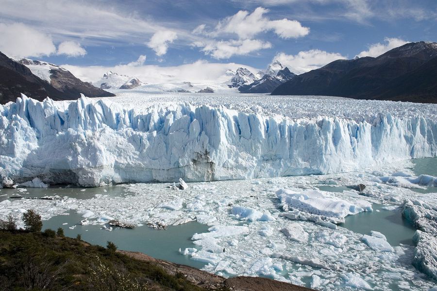 200 mPerito Moreno, the glacier that comes to you
The Beagle Channel
The Beagle Channel is a natural strait about 240 kilometres long, connecting the Atlantic and the Pacific south of Tierra del Fuego's main island. It is named after HMS Beagle, the British survey ship whose crew charted it around 1830; on the ship's next voyage, Charles Darwin sailed these waters. The border between Argentina and Chile runs down the middle of it.
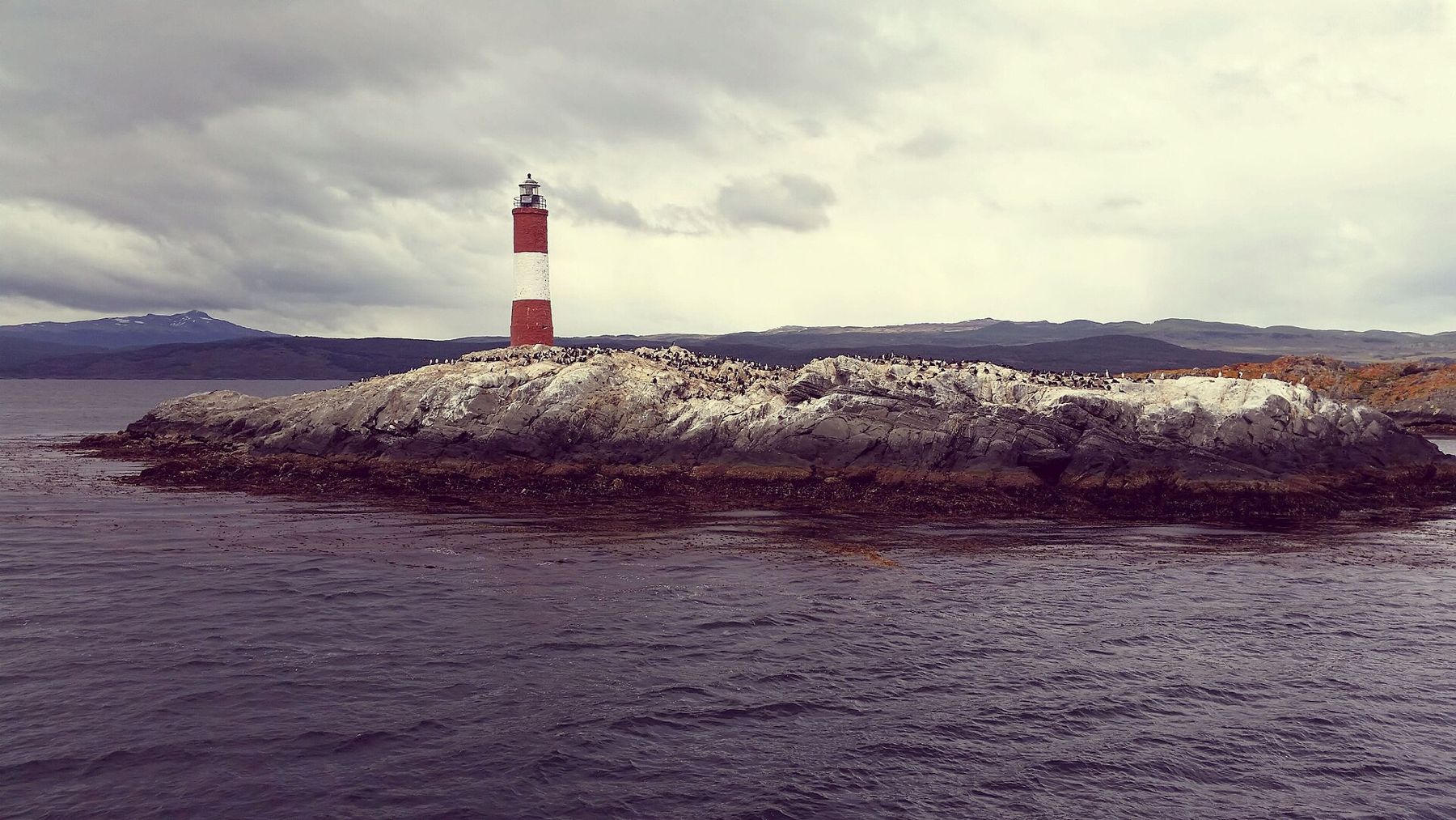
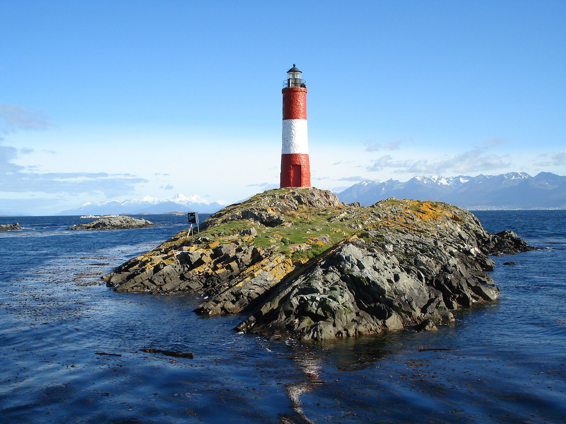
Boats leave the port for trips along the channel, past small rocky islands crowded with wildlife. On one, South American sea lions sprawl on the rocks, roaring and grunting; on another, colonies of cormorants stand in black-and-white rows. And on a small rocky islet stands the Les Éclaireurs lighthouse, a red-and-white tower built in the years around the end of the First World War. It is often called the lighthouse at the end of the world, though the lighthouse of Jules Verne's novel of that name stands on another island, far to the east.
On the water, the wind is strong and the cold is sharp, even in summer. Dress as warmly as you would for a winter day: a warm jacket, a hat and gloves, and a windproof layer on top. Sit on deck if you can; it is the only way to hear and smell the sea lions. Longer trips go further east to penguin colonies on an island in the channel, in the summer months.
On the water, the wind is strong and the cold is sharp, even in summer.
Tierra del Fuego National Park
West of the city, Tierra del Fuego National Park runs along the channel to the Chilean border. It is a park of southern beech forest, peat bogs, lakes and rocky coastline, with mountains rising behind. The national road that runs the length of Argentina ends inside the park at Lapataia Bay, where a sign marks the end of the road.
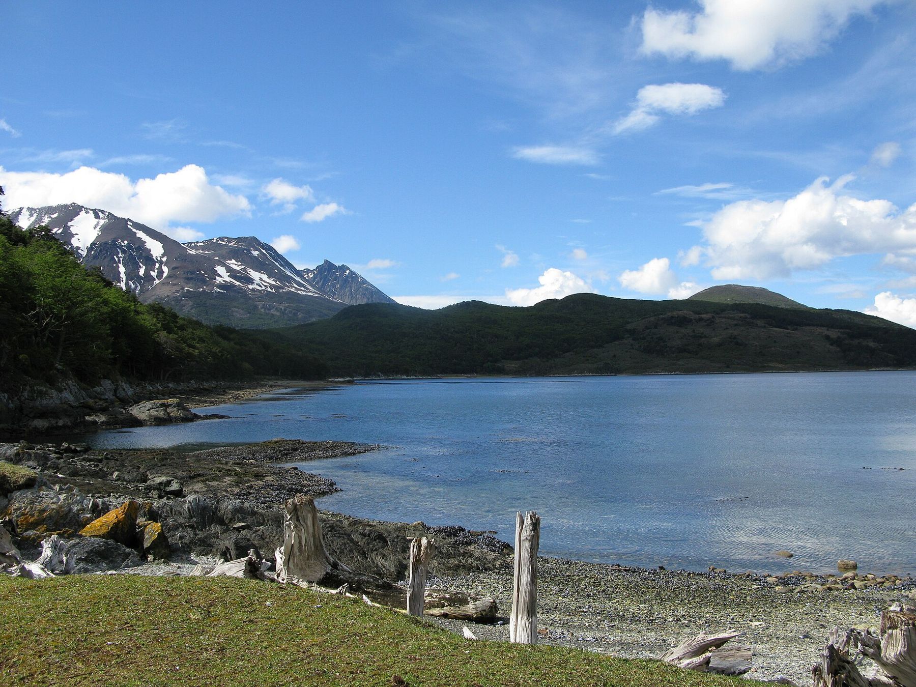
Short trails lead along the shore, through the forest and around the lakes. The Senda Costera, the coastal path, follows the shore of the channel through forest and over rocky points, with views of the water and the mountains across it. Lago Acigami, a long lake that crosses the border into Chile, lies under steep forested slopes. Beaver dams, built by animals introduced from North America in the twentieth century, flood the valleys; the beavers have become a serious problem for the native forest.
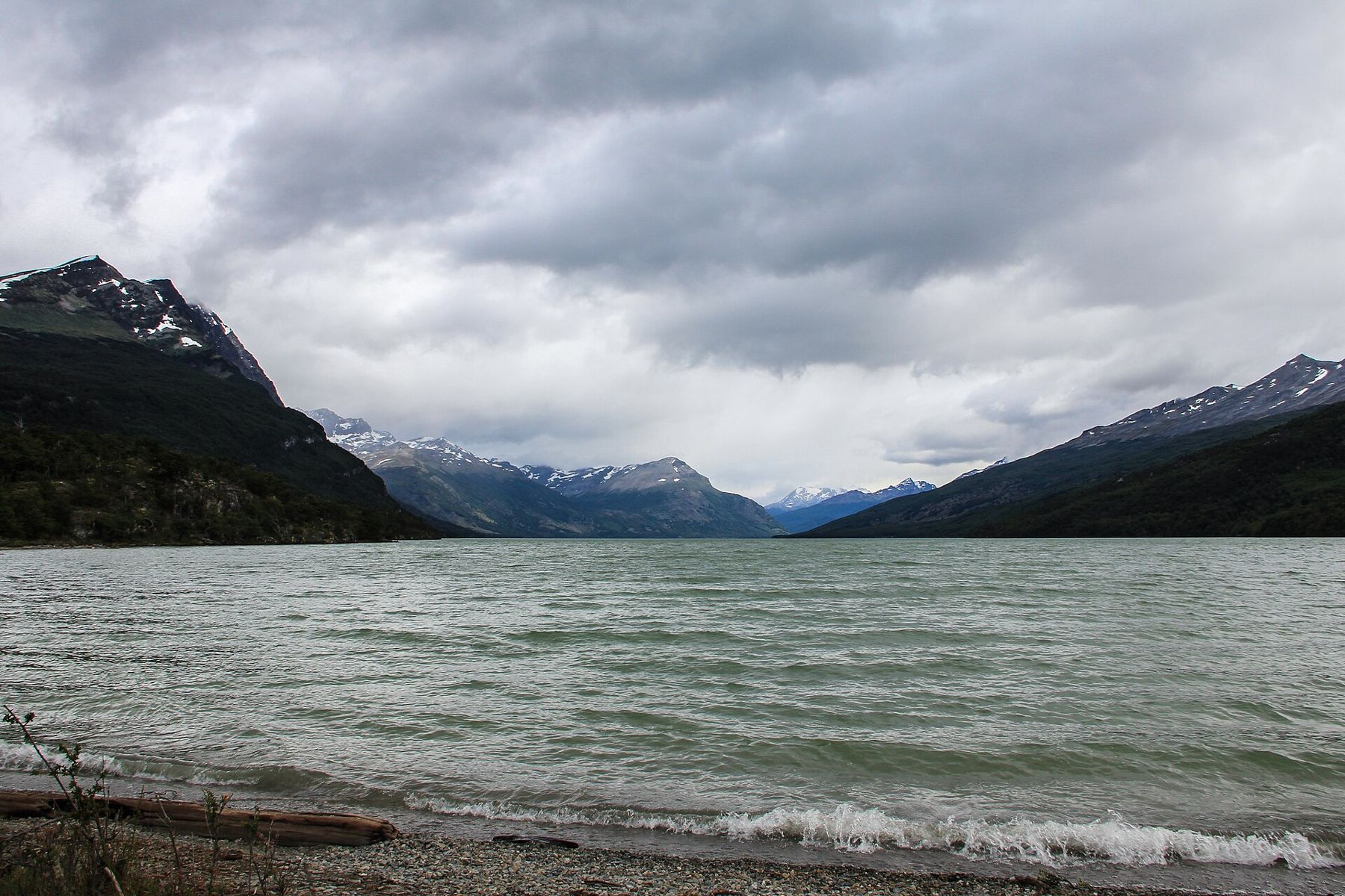
The weather in the park changes fast. Bring waterproofs, warm layers and sturdy boots for the muddy trails. Park entry fees apply and change; check before you go.
The mountains above
Behind the city, the Martial glacier hangs in a hollow of the mountains, reached by a road and a steep trail. The glacier has shrunk a great deal, but the walk up gives a view down over the city and the channel to the mountains of the Chilean islands beyond. In winter, the slopes around the city become ski areas, and the valleys become trails for cross-country skiing and dog sledding.
At this latitude the treeline is low, so even modest climbs bring you into bare rock and snow. The wind on the ridges can be fierce. Walk with someone, tell someone where you are going, and turn back if the weather closes in.
When to go and onward
The summer, from November to March, brings the longest days, the mildest weather and the boat trips and penguins. Winter, from June to September, brings snow, short days and skiing. Whenever you go, pack for cold, wind and rain: the packing guide covers the layers.
From Ushuaia, flights connect north to Buenos Aires, several hours away by air. By road, the route runs north across Tierra del Fuego, across the Strait of Magellan into Chile, and on to Torres del Paine and the rest of Patagonia. South, there is only the sea and Antarctica.
On your last evening, walk down to the waterfront. The wind drops a little as the light fades, late, the mountains across the channel turn blue, and the lighthouse blinks somewhere out on its rock, at the bottom of the elevation profile and almost the bottom of the map.