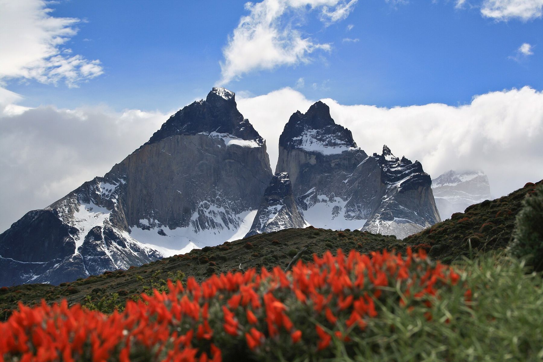
Torres del Paine National Park lies in the far south of Chile, between the steppe of Patagonia and the Southern Patagonian Ice Field. At its heart is the Paine massif, a block of granite pushed up through older, darker sedimentary rock, then carved by glaciers into a cluster of towers and horns. The three Torres, sheer pillars of pale granite, give the park its name. The Cuernos, the horns, are granite capped with black rock, as if dipped in ink. Around them lie glaciers, forests of southern beech and lakes in impossible blues and greens.
The park sits only about 100 metres above sea level at its lakes, and its highest trail passes stay well below 1,500 metres. There is no altitude to adjust to. The wind is the condition that replaces it, and in Torres del Paine the wind is famous. It comes off the ice field in gusts that can exceed 100 kilometres an hour, pushes walkers off the trail and whips spray from the lakes into tall white curtains. The weather changes many times a day. Summer days are long, cool and bright; the southern sun is strong; nights can be cold at any time of year.
The towers
The classic first walk is to the base of the towers. It climbs up the valley of the Ascencio river, through beech forest and over a pass of wind and loose rock, then up a final steep boulder field to a glacial lake at the foot of the three Torres. It is a long, hard day there and back, with the last hour the steepest.
The view at the top is the image on every poster: three pillars of granite rising straight from a grey-green lake, often with a glacier hanging below them. Many walkers go up before dawn to see the towers turn red at sunrise, though cloud often hides them. If the weather is bad or the wind too strong, the final climb is not worth it; turn back.
The W trek
The W is the most famous trek in South America, named for the shape it traces on the map: up and down three valleys on the southern side of the massif. It usually takes four or five days, covering around 70 to 80 kilometres, and goes from the towers in the east, along the shore of Lago Nordenskjöld under the Cuernos, up the Valle del Francés in the middle, and west to Grey glacier. A longer route, the O circuit, loops around the whole massif.
The trek is popular, and it is regulated. Camping and sleeping in shelters is only allowed in designated sites, which must be booked in advance, and in the high season they fill up months ahead. Park entry requires registration, and fees are charged. The rules, the operators and the booking systems have changed several times in recent years and may change again, so check the current requirements with the park authority well before you travel. Do not arrive expecting to find a place.
Fire is the most serious rule. Large fires started by visitors burned huge areas of the park in 2005 and again in 2011 and 2012. Stoves may only be used in designated areas, and open fires are banned. The scars of the fires, grey dead trees on the hillsides, are still visible along parts of the trail.
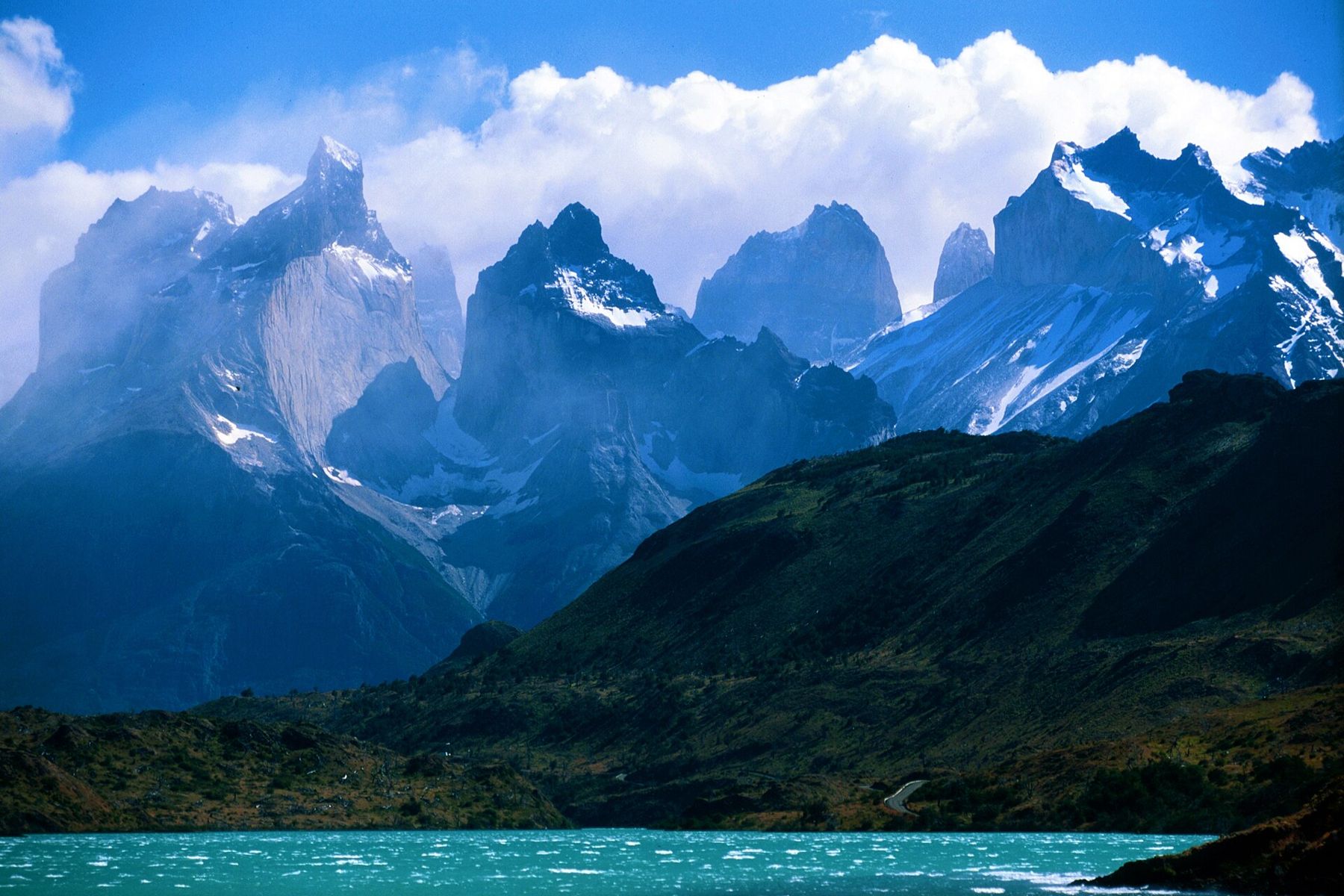
The Cuernos and the Valle del Francés
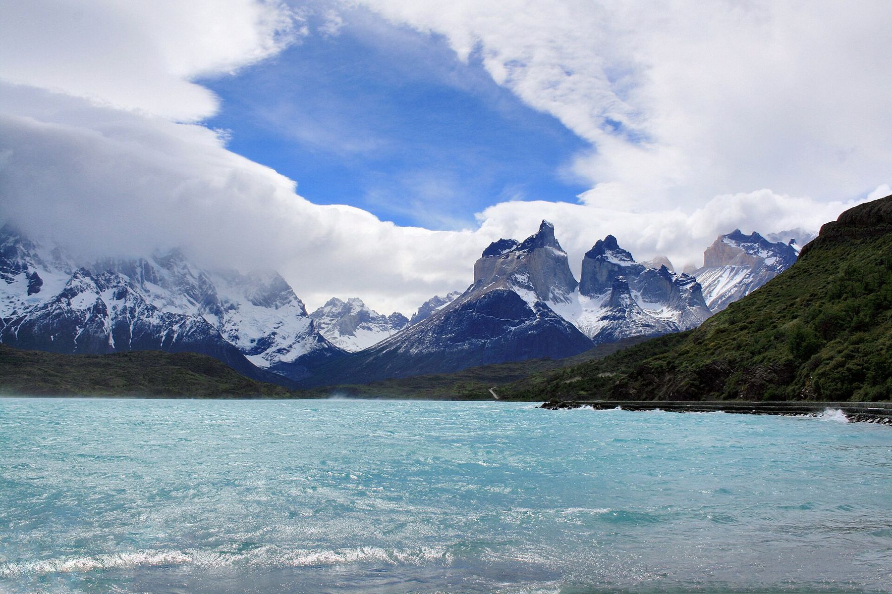
The walk along Lago Nordenskjöld passes under the Cuernos, close enough to see the line between the pale granite and the black caps. The lake below is a milky turquoise, and the wind sweeps it into whitecaps and spray.  400 mEl Chaltén: walking under Fitz Roy
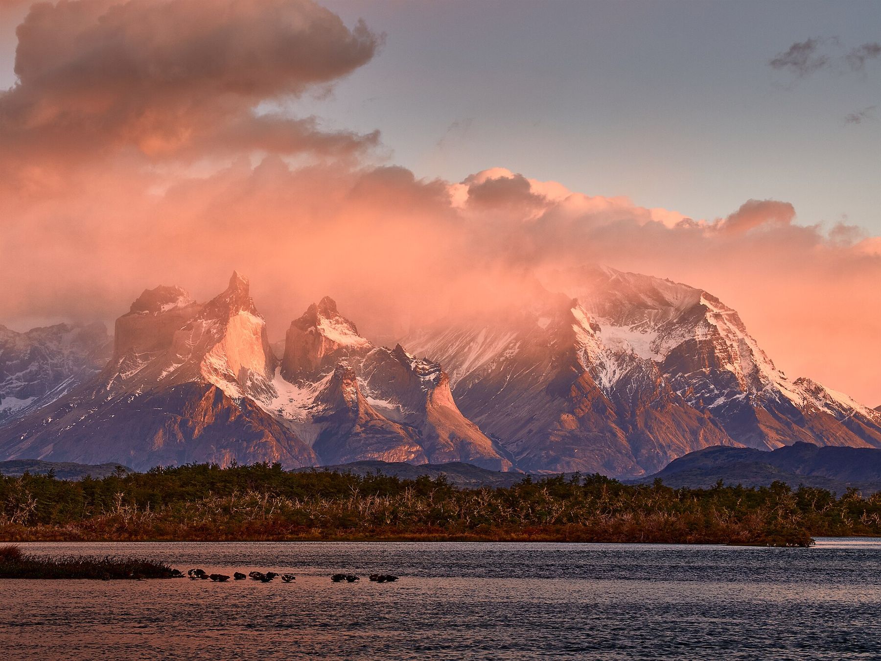
In the middle of the W, the Valle del Francés climbs north into the heart of the massif, between the Cuernos on one side and Paine Grande, the highest mountain in the park, on the other. Glaciers hang from Paine Grande, and in the morning you can hear them cracking and see avalanches of ice tumbling down the face. At the top of the valley, a viewpoint looks out on a circle of granite walls and peaks. It is one of the most impressive places in the park, and one of the most exposed to sudden weather.
Grey glacier
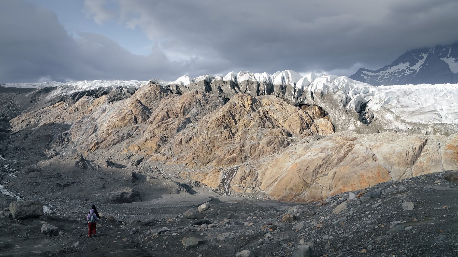
The western arm of the W follows the shore of Lago Grey, where icebergs drift in the water, to viewpoints over the Grey glacier, another outlet of the Southern Patagonian Ice Field. The glacier ends in the lake in a wall of ice split by a rocky island into lobes, with crevasses and towers of blue ice.
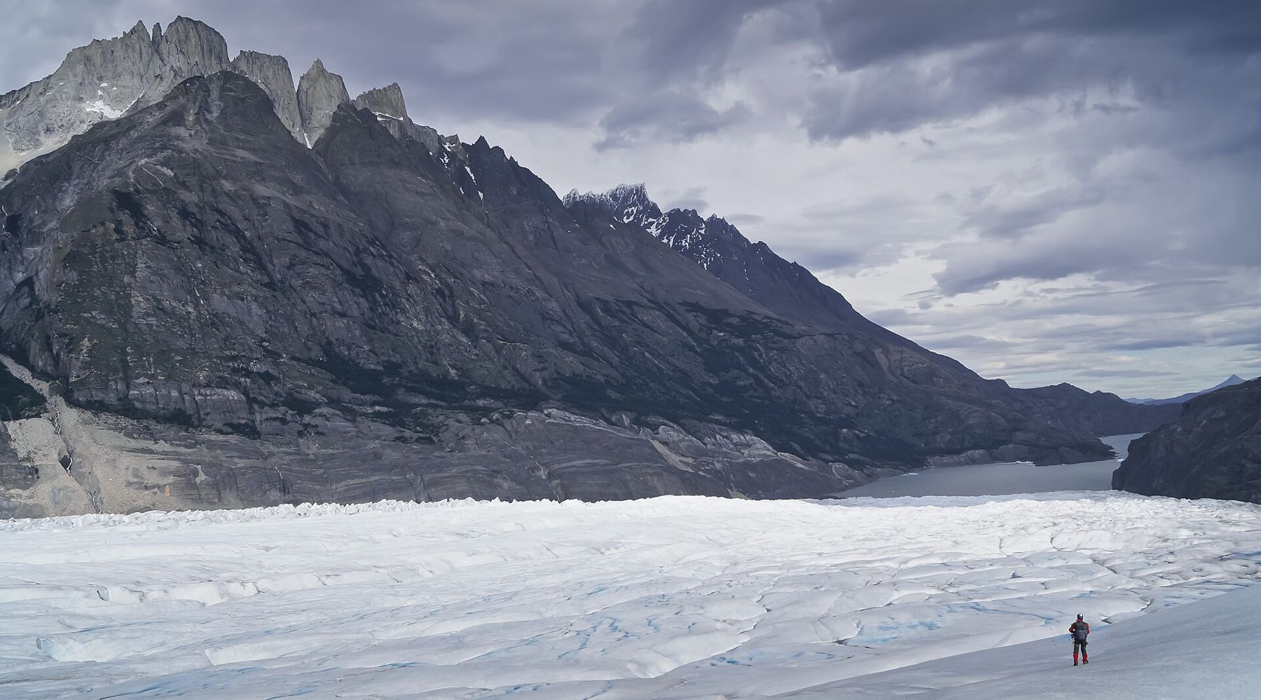
Boats run on the lake to the face of the glacier, and the trail continues beyond the viewpoints, crossing suspension bridges over deep gorges. Like most glaciers in the region, Grey has retreated considerably in recent decades. The bare, smoothed rock along the shore shows where the ice once lay.
Guanacos, condors and the wind
The open steppe in the east of the park is home to large herds of guanacos, wild relatives of the llama, which graze by the roads and on the hillsides. Lesser rheas, flightless birds like small ostriches, run across the grassland. Andean condors ride the wind above the cliffs. Pumas live in the park and are sometimes seen, especially in the quieter months; keep your distance and never approach one.
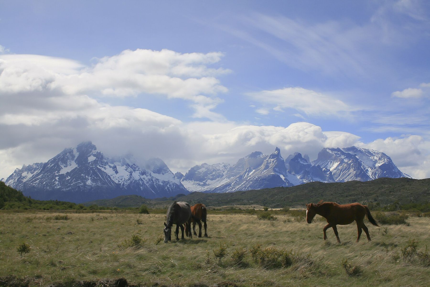
The wind is part of every day. On the trail, keep your pack closed and secure, hold tight to anything loose, and brace for gusts on exposed stretches. On the lakeshores, the wind can lift water off the surface. Pack a windproof and waterproof jacket, warm layers, a hat and gloves, sunglasses and sun cream. The guide to the seasons puts the Patagonian summer in context.
When to go and onward
The main season runs from about November to March, when days are long, with daylight late into the evening, and the trails and services are fully open. December to February is the busiest, and the windiest. October and April are quieter, colder and more changeable. Winter brings snow, short days and limited services, and some trails close.
The park is reached from Puerto Natales, a small town on a fjord a couple of hours to the south-east. From there, the road runs east across the border into Argentina to El Calafate and the Perito Moreno glacier, or south to Punta Arenas and the Strait of Magellan, and onward to Tierra del Fuego and Ushuaia at the end of the road.
On your last morning, walk to the shore of Lago Pehoé. If the wind drops, the Cuernos stand reflected in the turquoise water, black and white and perfectly still, until the next gust breaks the image into a thousand pieces.