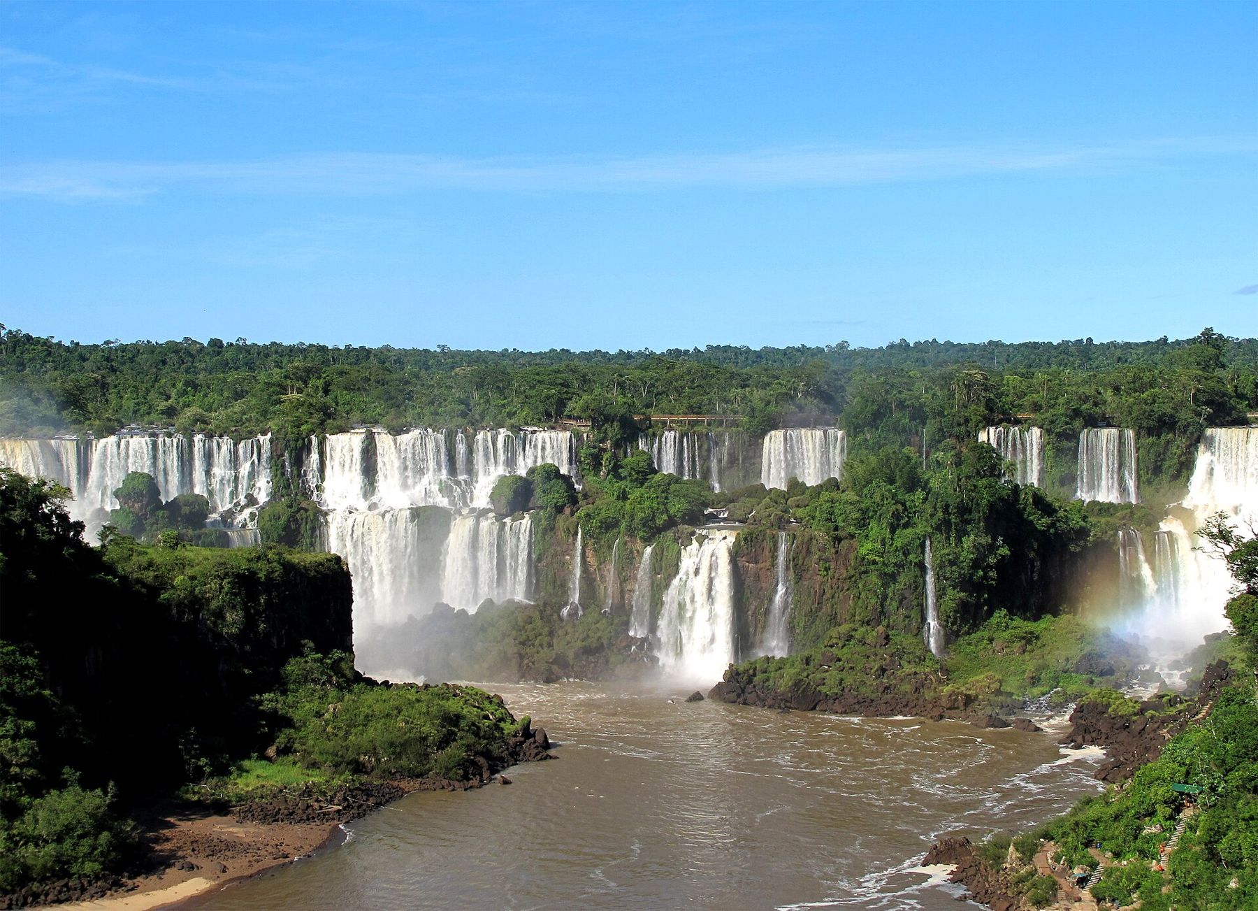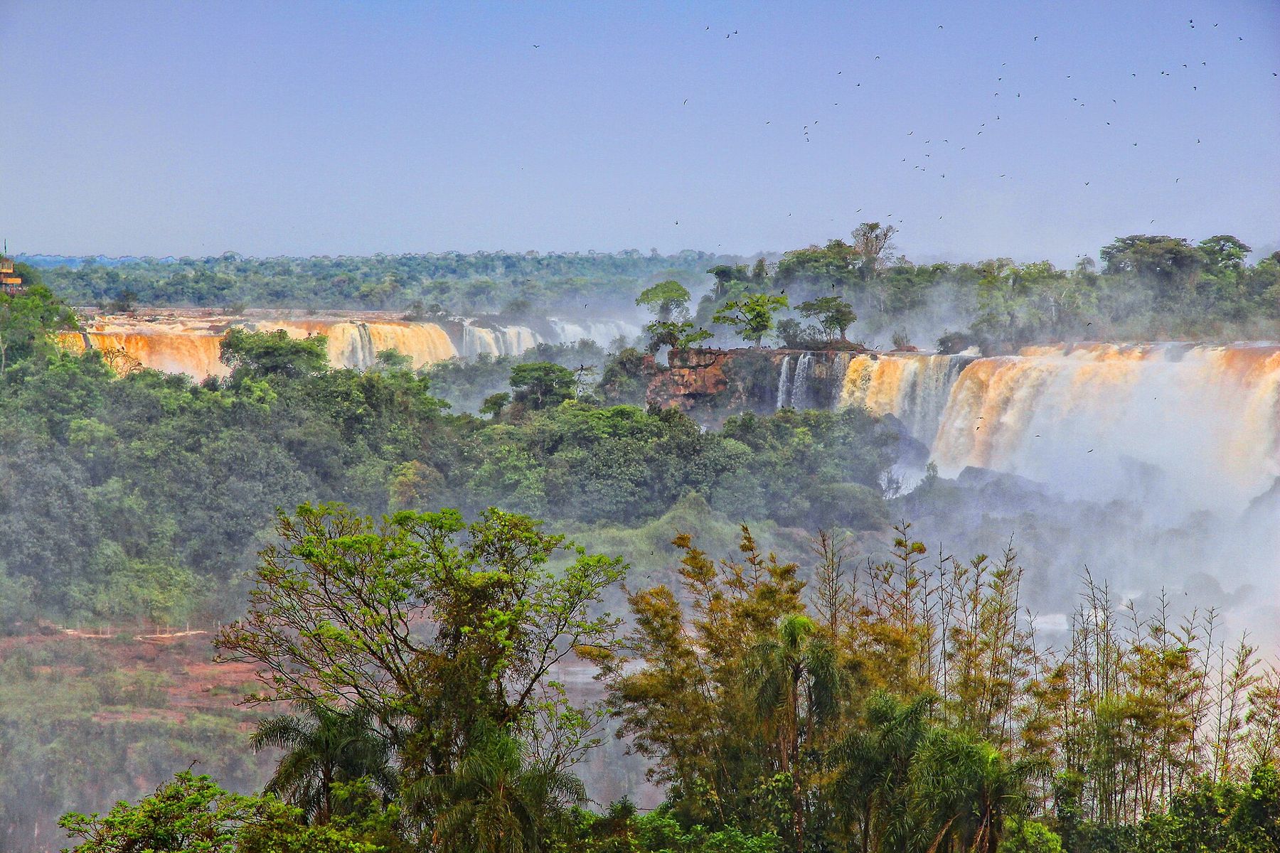
The Iguazu River runs west across the plateau of southern Brazil and then, a short way before it joins the Paraná, falls off the edge of a basalt plateau. The edge is not straight. It curls in a broad horseshoe several kilometres long, and the river breaks over it in some two hundred and seventy separate falls, depending on the flow, from thin threads to the vast U-shaped chasm called the Devil's Throat. The border between Argentina and Brazil runs down the middle of the river.
Both sides are national parks, the Argentine Parque Nacional Iguazú and the Brazilian Parque Nacional do Iguaçu, and both are on the UNESCO World Heritage list. Most of the falls lie on the Argentine side, which puts you close to and on top of them; the Brazilian side faces them and shows you the panorama. The answer to which side is to see both, a day each.
At around two hundred metres above sea level, the air is warm, thick and wet, and the falls make it wetter. There is no altitude to adjust to. Summers, from December to February, are hot and humid with heavy storms; winters are mild, with cool nights. Wear quick-drying clothes and sandals or shoes that can get soaked, and keep phones and cameras in a waterproof bag.
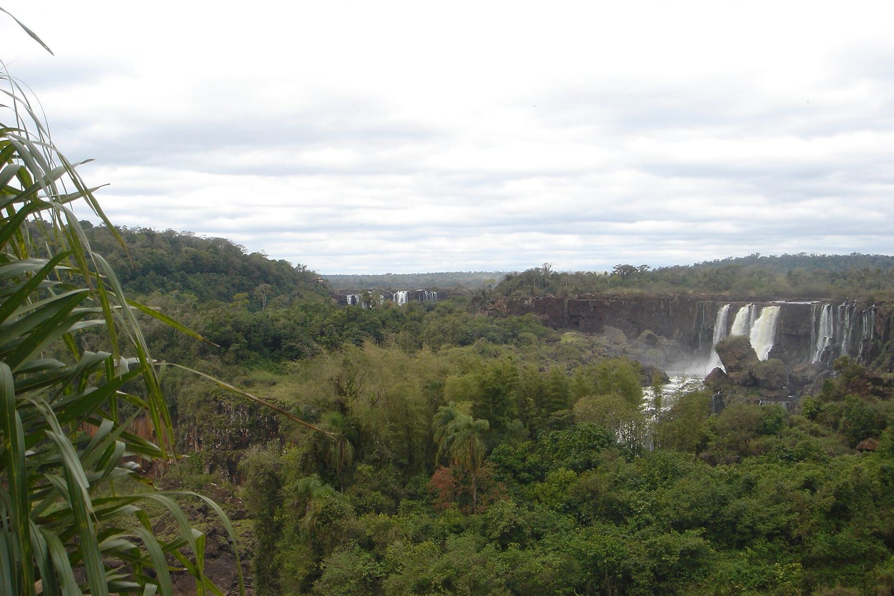
The Argentine side and the Devil's Throat
Arrive at the Argentine park as soon as it opens. A small train runs through the forest from the visitor centre to the stations near the falls, and the first stop to make is the last station, Garganta del Diablo. From there, a walkway of metal grating crosses the wide, calm upper river on stilts for about a kilometre, past islands of trees and birds, towards a sound that grows from a hum to a roar.
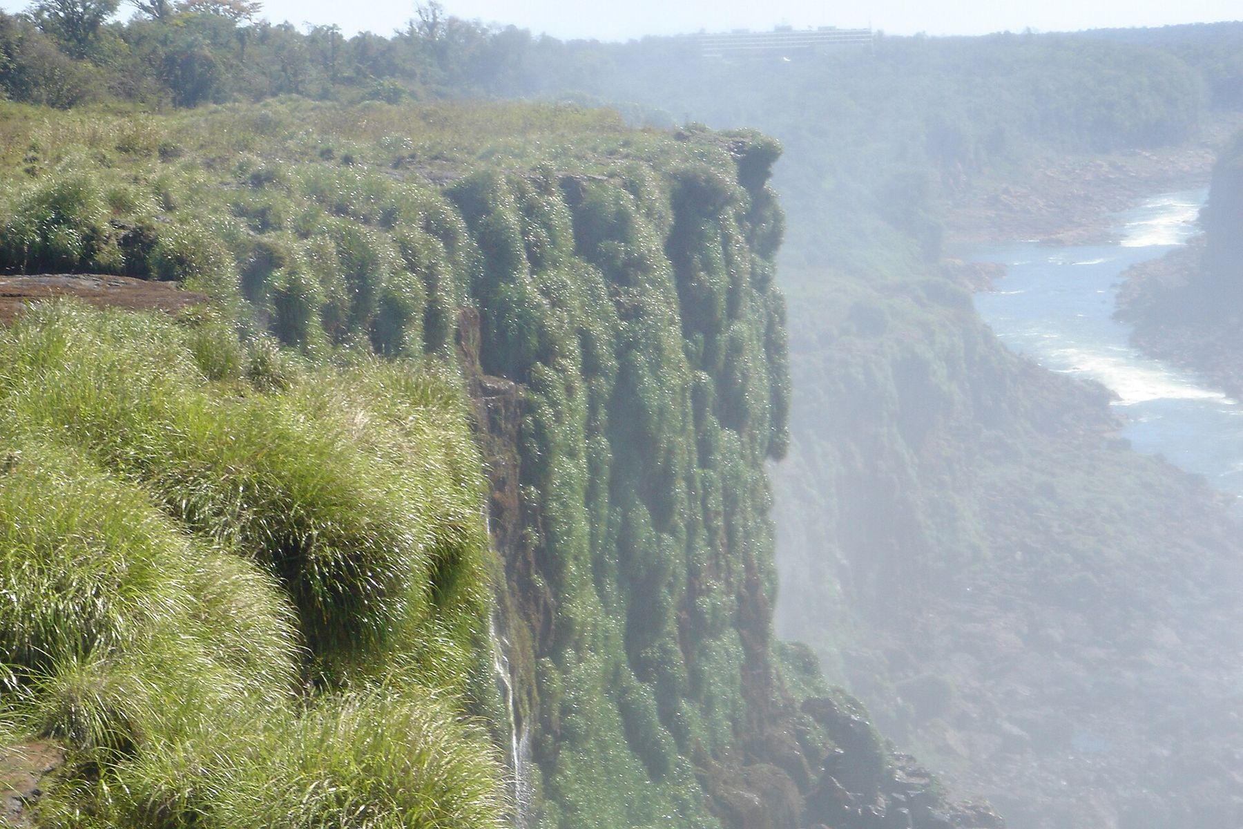
The catwalk ends at a railing on the very edge of the Devil's Throat. Here a large share of the river drops into a deep, curved chasm, around eighty metres, and the spray rises in a column that soaks you within seconds and hides the bottom from sight. It is loud enough to drown out speech. Swifts dive through the spray to nest on the wet rock behind the water. Come early, before the crowds fill the platform, and stay a few minutes.
On the way back along the catwalk, look down into the clear water of the upper river. Fish hold in the current under the walkway, turtles sun themselves on the rocks, and the remains of an older walkway, swept away by a flood, show how much force the river can carry when it rises.
The upper and lower circuits
Take the train back to the middle station and walk the two main circuits. The upper circuit runs along catwalks on the lip of the falls, so you look down over the edges as the river slides over and drops, with rainbows in the spray on sunny mornings. It is mostly flat and easy.
The lower circuit goes down steps through the forest to the foot of the falls, with views back up at the curtains of water and, at some points, a drenching from the spray. The path is humid and the stairs are steep in places, so take it slowly and carry water. Boat trips run into the spray at the base of the falls from the lower river, and when the river is low enough a small ferry has at times crossed to Isla San Martín, the island in the middle of the lower river.
Coatis, raccoon-like animals with long striped tails, gather at the cafés and trail junctions. They look tame. They are not: they bite and scratch when they want food, and feeding them is forbidden. Keep snacks out of sight and let them go by.
 25 mBuenos Aires, San Telmo to La Boca
The Brazilian panorama
The next morning, cross the border between Puerto Iguazú and Foz do Iguaçu. The crossing is on a road bridge over the Iguazú, and there are immigration posts on both sides; take your passport and allow time, as the queues vary. Rules for border-day visits change, so check them before you go.
The Brazilian park's visitor centre runs buses along the park road through the forest to the start of the trail. The trail follows the river gorge for around a kilometre, with each bend opening a wider view of the Argentine falls across the water: the whole horseshoe in one frame, white water on the dark cliffs, green forest on top. It is the view the Argentine side cannot give you.
At the end, a walkway leads out over the lower river towards the Devil's Throat, deep in spray. You will get wet. A viewing tower lifts you back up to the top of the cliff for a last view up the river. Expect far more people in the middle of the day and at weekends.
Water, weather and the flow
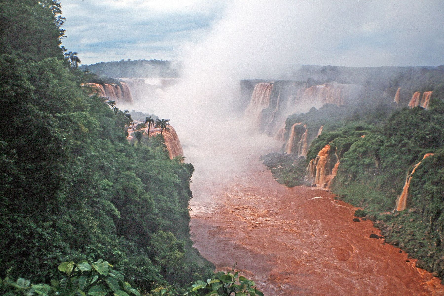
How much water goes over depends on rain over a huge area of southern Brazil upstream, and the flow can change within days. After heavy rain the river turns brown and the falls merge into a single wall of water, and in serious floods parts of the walkways have closed and been damaged. In long droughts many of the smaller falls thin to threads, though the Devil's Throat keeps running. Rain falls in all months, and there is no reliable dry season, so the best time to go is when you can. The cooler months are easier on the trails.
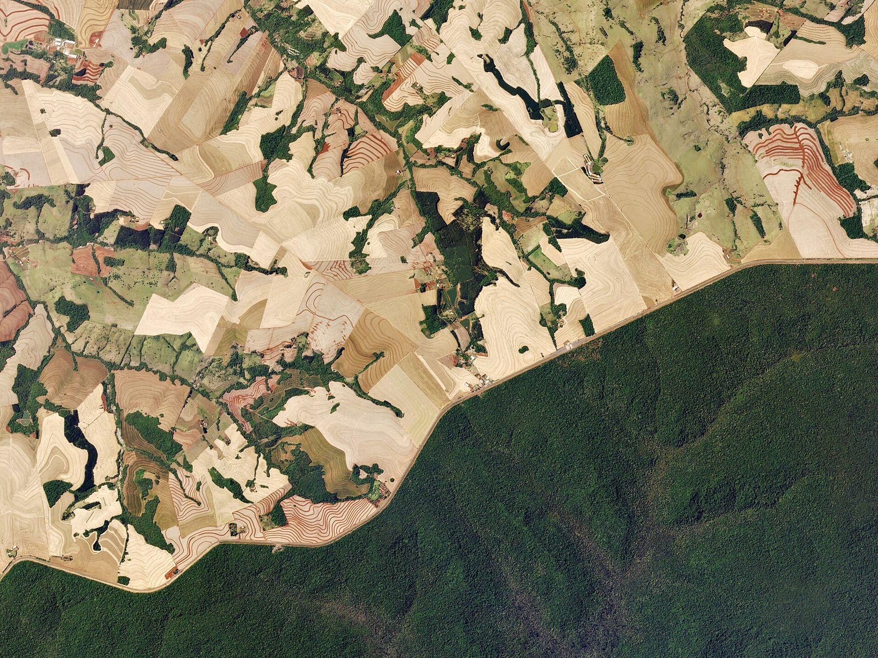
Seen from above, the parks are a single green island of protected forest, surrounded by farmland on both sides. It is one of the last large remnants of the Atlantic Forest of the interior, the forest that once covered much of south-eastern Brazil. Toucans, butterflies by the thousand and, very rarely, jaguars live in it.
Where the rivers meet
End the second day at the Triple Frontier, where the Iguazú flows into the Paraná. From the viewpoints in Puerto Iguazú and Foz do Iguaçu, you can see three countries at once: Argentina, Brazil and, across the Paraná, Paraguay. Each side has a monument painted in its national colours, and at sunset the two rivers, one reddish, one darker, run together below.
For a practical overview of travelling between the countries, see getting around. From here the profile runs south and east. Rio de Janeiro lies at sea level on the Atlantic, and the Paraná carries on towards the Río de la Plata and Buenos Aires. Or go the other way, north and west along the rivers to the Amazon at Manaus, and the forest where the water is the only road.