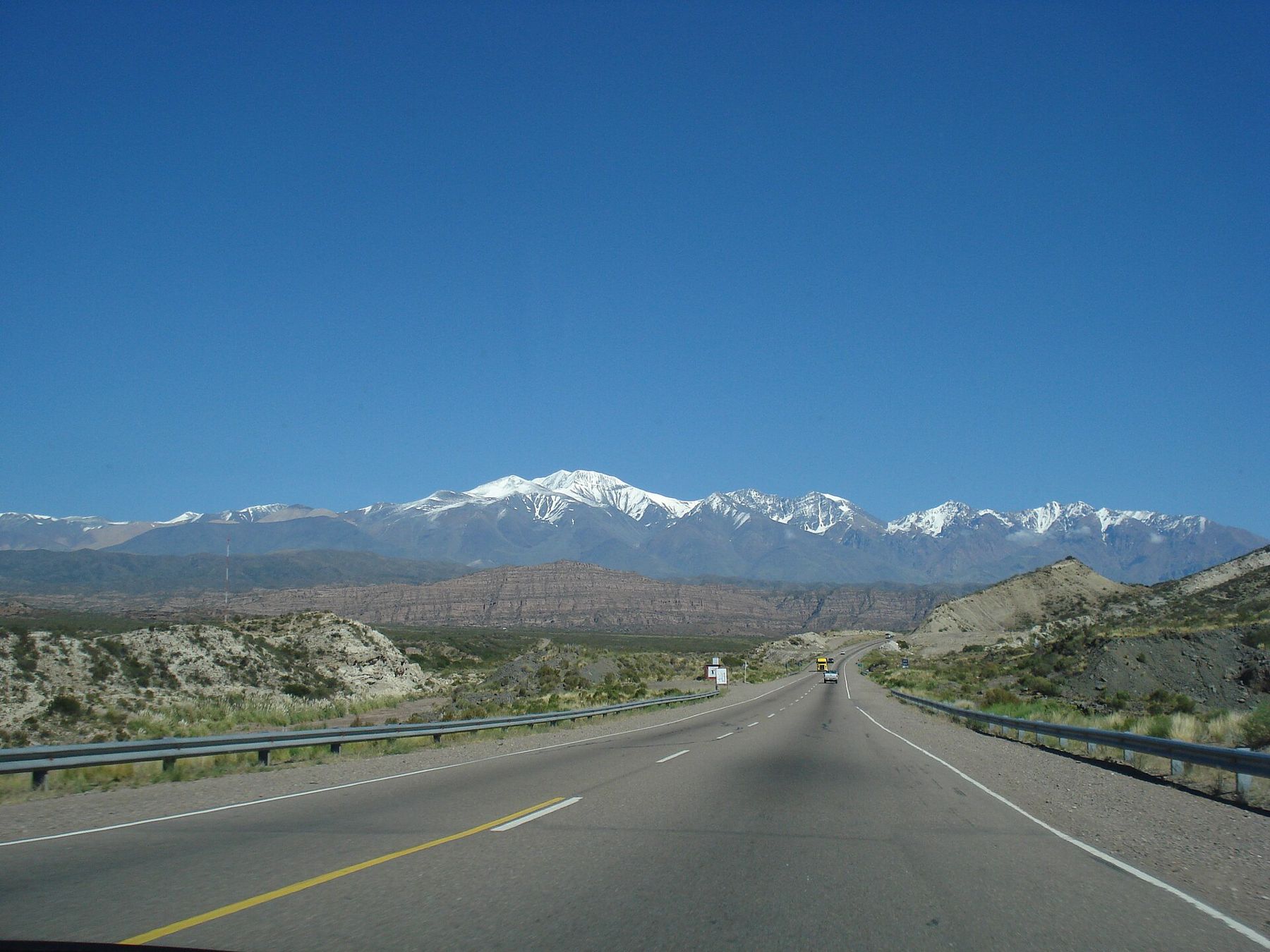
South America is big in a way that maps understate. The road from Lima to Cusco is roughly a day of driving through mountains. Buenos Aires to the glaciers of the far south is about as far as London to Moscow. And the Andes, the spine of the continent, turn short distances into long ones. Plan for fewer places, and for journeys that are part of the trip.
How big are the distances, really?
Bigger than you think, and slower. A straight line on the map may climb from sea level to above 4,000 metres and drop again, on roads that switch back for hours. Average speeds in the mountains are low, landslides close roads in the wet season, and protests or road blockades sometimes stop traffic for a day or more.
Build slack into any plan that relies on a mountain road, and avoid timing a connection to an international flight on the same day as a long overland journey.
What are long-distance buses like?
Buses are the backbone of travel in most countries. They link almost every town and many villages, run day and night, and range from basic to very comfortable.
- Semi-cama seats recline part of the way and are fine for day journeys.
- Cama seats recline much further, sometimes almost flat, and suit overnight runs.
- On the best services there are fewer, wider seats, a toilet, blankets and food on board.
Buses leave from a main terminal, the terminal terrestre in Peru or the rodoviária in Brazil, and tickets can be bought there or in advance. Choose established companies with good safety records, prefer daytime travel on mountain roads where you can, and wear the seatbelt if there is one.
Altitude follows you onto the bus. Routes across the altiplano cross passes well above 4,000 metres, and nights at that height are freezing even in a heated coach. Keep a warm layer and water within reach, not in the hold.
When is flying worth it?
Domestic flights save days over the long distances and the Andes. They make sense for the far south, for the Amazon, and for joining two regions separated by mountains. Manaus, deep in the rainforest, is reached mostly by air or by river.
Flying has one catch. A plane from the coast puts you in a high city within an hour, with no time to adjust. Landing at Cusco at 3,400 metres or at the airport above La Paz, at more than 4,000, is the classic way to feel the thin air on the first evening. Arriving by road is slower but gives the body a gentler climb. Either way, keep the first day high easy.
How do land border crossings work?
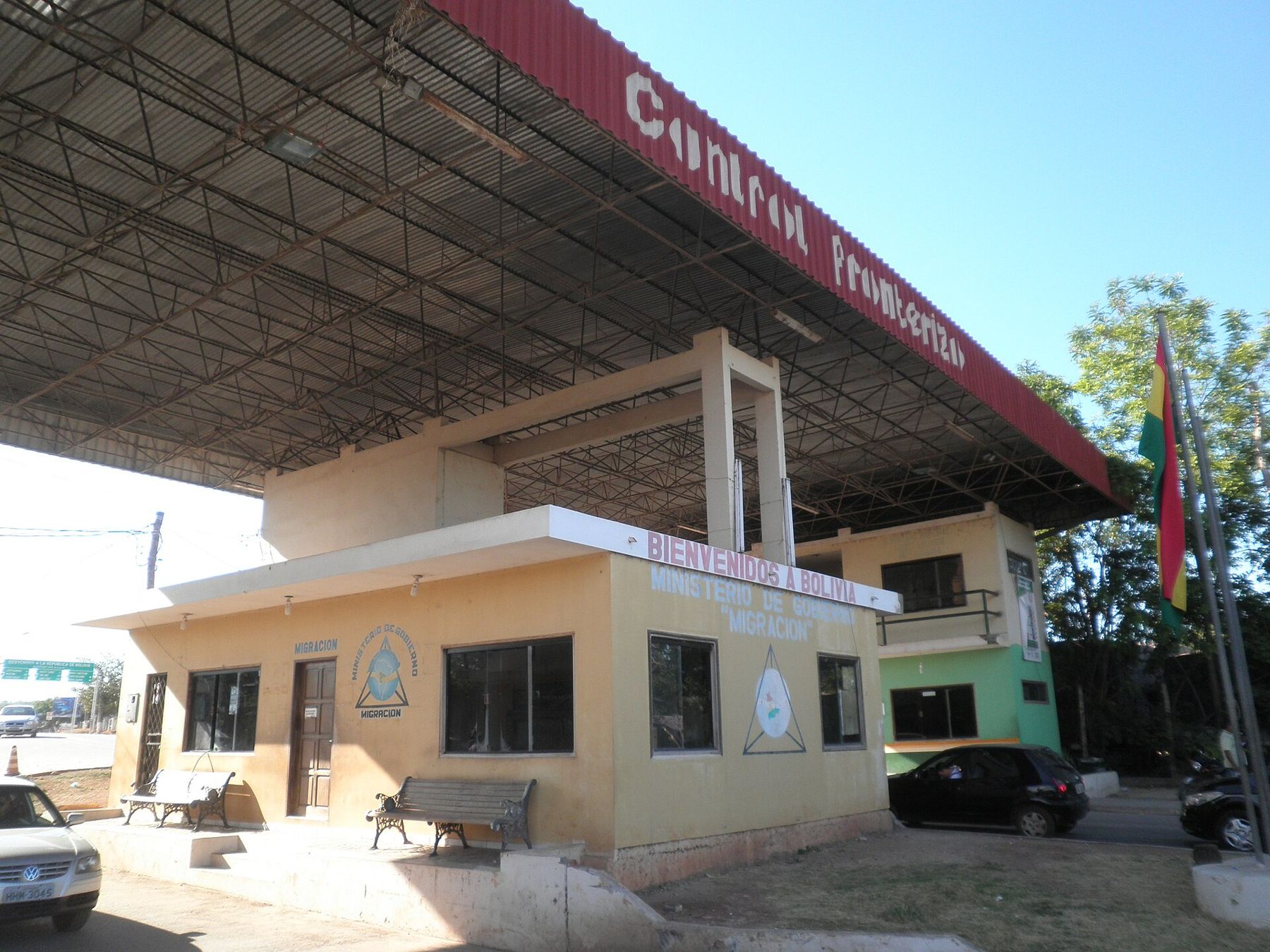
Most land borders follow the same pattern. You leave one country at its migración office, getting an exit stamp, then walk or ride to the other side for an entry stamp. On international buses the driver usually waits while everyone passes through, and luggage may be checked.
- Carry your passport, not a copy, and keep any entry card or slip you are given; you may need it to leave.
- Entry rules and paperwork change, so check the current requirements for your nationality before you travel.
- Have some local cash for the other side, since there may be no cash machine near the post.
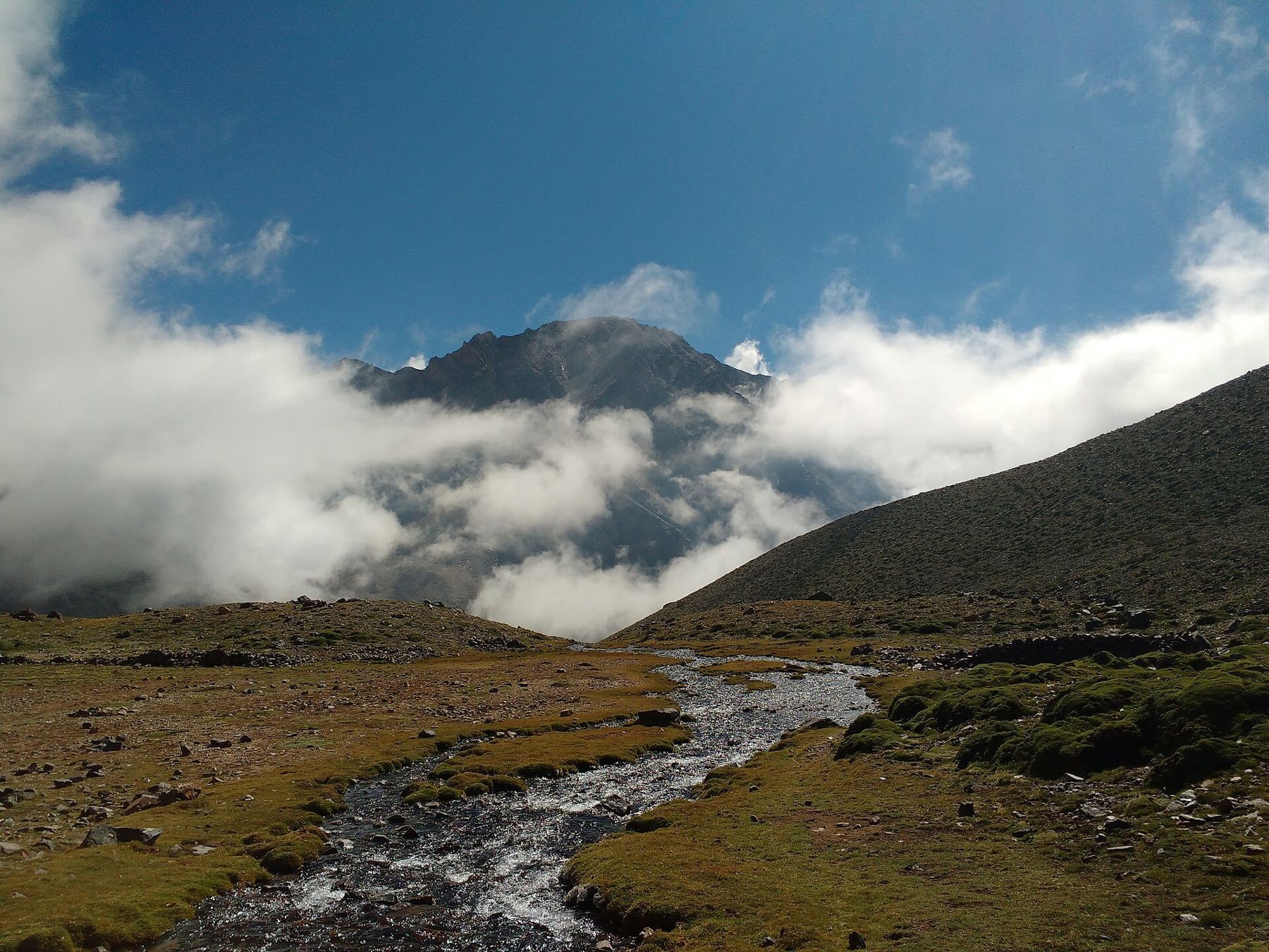
Some crossings are journeys in themselves. The busy route between Puno and Copacabana passes the Bolivian post at Kasani on the way to Lake Titicaca's shore. The road west from Mendoza to Santiago crosses the Andes at more than 3,000 metres and can close for snow in winter. In the lowlands, crossings such as Bolivia's post at Puerto Quijarro, opposite Brazil, are hot, slow and green.
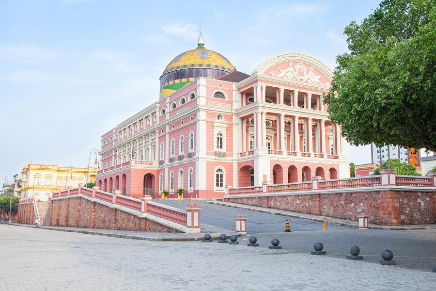 92 mThe Amazon from Manaus
Where do trains still run?
Rail plays a small part. Most passenger lines that survive are tourist routes rather than everyday transport, and services start and stop with little warning.
The best known is the line along the Urubamba to Aguas Calientes, the usual way to reach Machu Picchu, from Cusco or from Ollantaytambo in the Sacred Valley. A long line also crosses the altiplano between Cusco and Lake Titicaca. In Bolivia a line runs through Uyuni, and in the far south a heritage railway carries visitors into Tierra del Fuego National Park from Ushuaia. Check that a service is running before planning around it.
What about boats?
Water still links places that roads do not. In the Amazon, river boats with decks of slung hammocks run between towns over several days, and smaller boats reach lodges and villages. On Lake Titicaca, boats leave Copacabana for Isla del Sol. In the far south, ferries thread through the Chilean fjords, and excursion boats go out on the Beagle Channel from Ushuaia.
On any small boat, wear the life jacket offered, keep valuables in a dry bag, and dress for spray and wind.
Should you drive?
Hiring a car works best in Argentina and Chile, where roads are generally good and distances between sights large. Patagonia's long gravel stretches demand care: fuel stations are far apart, wind pushes the car about, and flying stones crack windscreens.
In the high Andes, roads are steep, narrow and slow. Many travellers prefer to leave mountain driving to local drivers who know the roads. If you do drive, avoid the night, carry water and warm clothes, and remember that you will also be adjusting to the altitude.
How do you get around inside cities?
Several big cities have metro systems: Santiago, Buenos Aires, São Paulo, Rio de Janeiro, Lima and Medellín among them. Two Andean cities have made cable cars part of public transport. Medellín's Metrocable climbs the hillside neighbourhoods, and La Paz's Mi Teleférico links the canyon city with El Alto on the rim above.
Elsewhere, minibuses and shared taxis carry most local traffic and can be confusing at first. For taxis, use registered cabs from a rank or call them through your accommodation or a ride app, especially at night. However you travel, the profile of the continent sets the pace: allow a day to climb, a day to descend, and time to watch the road go by.