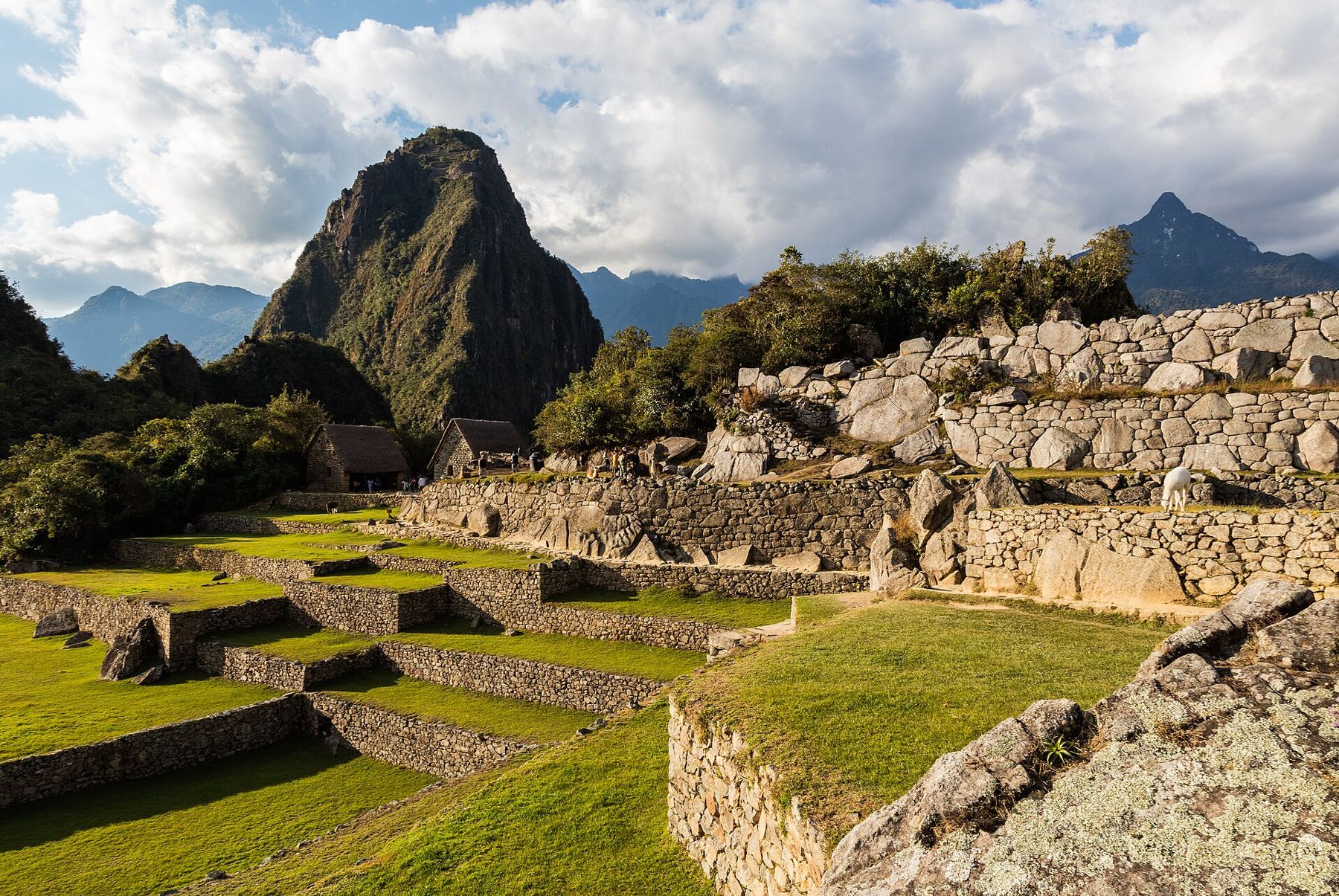
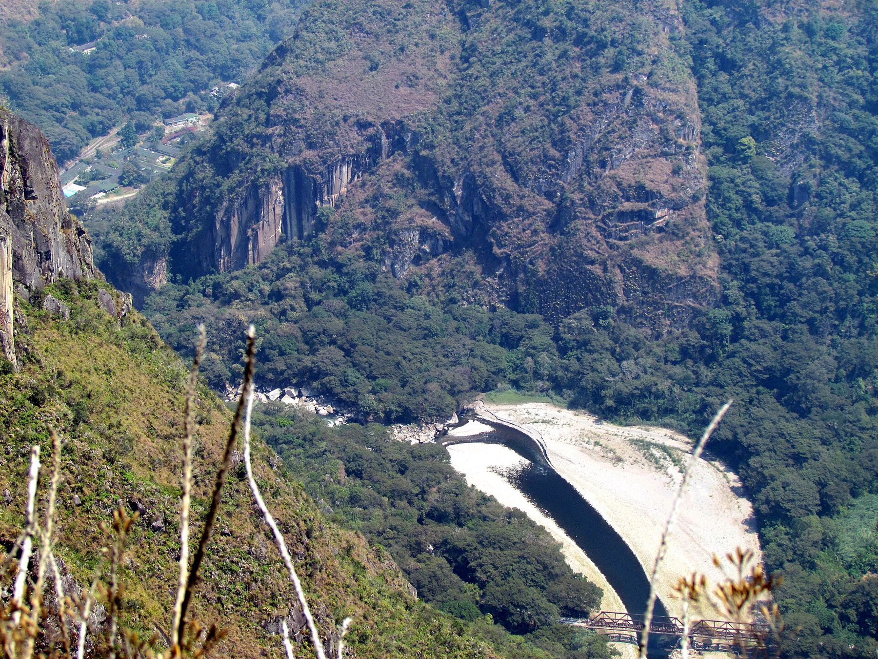
Machu Picchu stands at 2,430 metres on a narrow saddle between two peaks. On one side the ridge rises to the mountain the site is named after, Machu Picchu, the old peak. On the other it rises to Huayna Picchu, the young peak, the steep green spike that appears behind the ruins in almost every photograph. Hundreds of metres below, the Urubamba River bends almost all the way round the ridge, loud and brown in the rainy season.
The citadel is widely thought to have been built in the fifteenth century as an estate for the Inca ruler Pachacuti. It was occupied for less than a century, and the Spanish who conquered Cusco in the 1530s left no clear record of it. UNESCO listed the Historic Sanctuary of Machu Picchu in 1983, for its architecture and for the cloud forest around it.
The air and the first day
Most people arrive from Cusco, nearly a thousand metres higher, and Machu Picchu feels easier by comparison. The air here carries roughly three quarters of the oxygen you breathe at sea level, and the climate is that of the high jungle edge: warm and humid by day, cool at night, with sudden rain. Spend your first days at altitude in Cusco or the Sacred Valley, then come down. If you are flying straight in from the coast, you will feel the steps at the site.
The sun is strong at this latitude and altitude, even through cloud. Wear a hat and sunscreen, bring a rain jacket in any season, and use insect repellent; small biting flies are common in the valley. The terraces and stairs are uneven and have no railings in many places, so wear shoes with grip.
The dry season runs roughly from April to October, with the clearest skies in the middle of the year. The rainy months, from about November to March, bring cloud, afternoon storms and fewer visitors. The Inca Trail closes every February for maintenance.
Day 1: Down the Urubamba
There is no road to Machu Picchu from Cusco. The usual way in is the railway, which runs from near Cusco and from Ollantaytambo down the Urubamba valley to the town of Aguas Calientes, also called Machupicchu Pueblo, below the site. Several services run each day, at different levels of comfort and price.
The ride is the start of the visit. Beyond Ollantaytambo, the valley narrows into a gorge. The dry, brown slopes of the Sacred Valley give way to forest, bromeliads cling to the rock, and the river runs white over boulders beside the tracks. The air grows warmer and heavier as you descend.
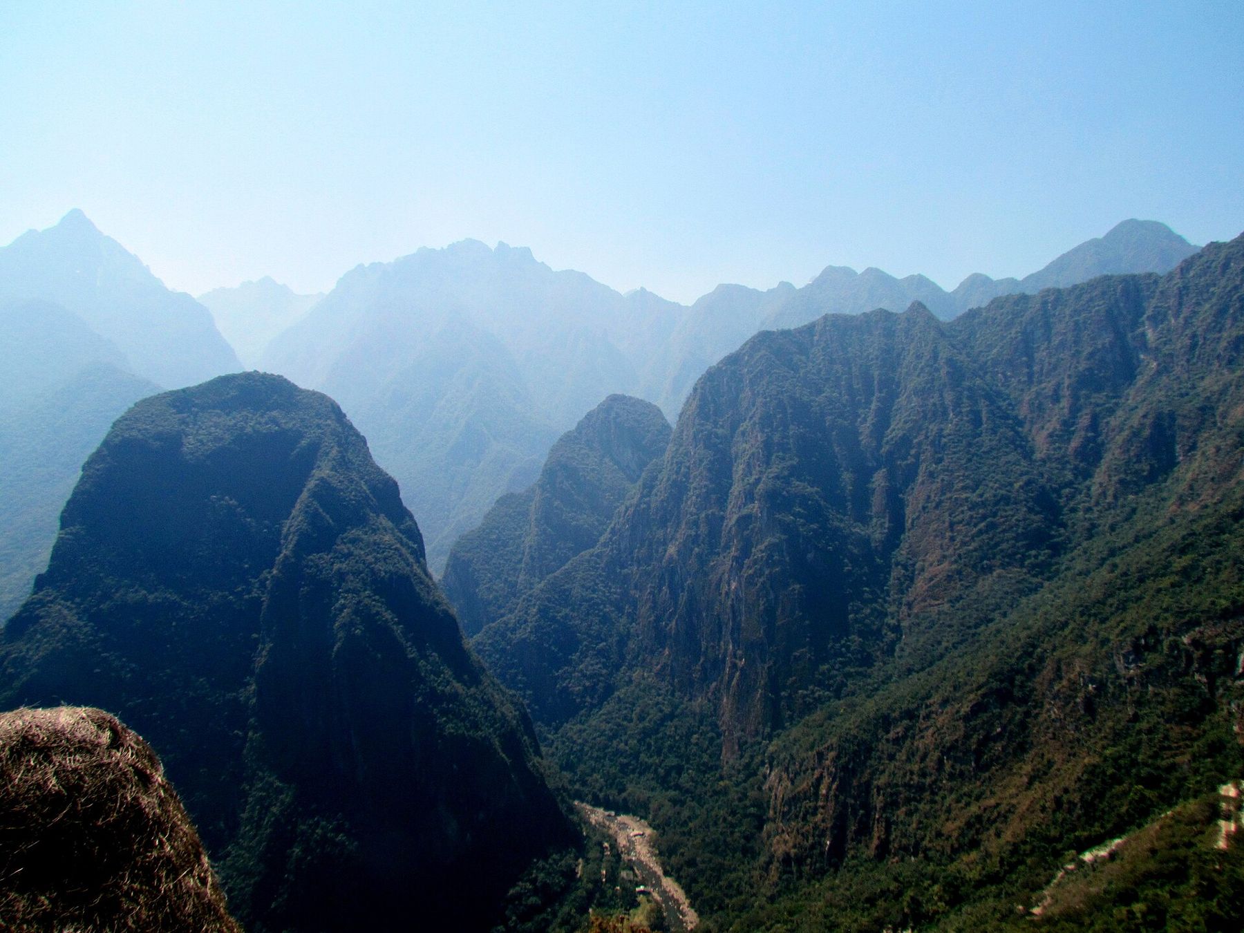
Aguas Calientes is a town built around the railway and the visitors it brings, squeezed into the narrow gorge where two rivers meet. It is warm, damp and loud with water. There are hot springs at the top of town. Go to bed early.
Day 2: The bus or the stairs
From Aguas Calientes, buses climb a gravel road up the mountainside in a long series of switchbacks to the entrance. The ride takes about half an hour. The alternative is to walk: a path of stone stairs goes straight up the slope, crossing the road several times, and takes most fit people somewhere between one and two hours. At this altitude, after the climb, you will arrive hot, breathing hard and earned.
Entry is by timed ticket, and the number of daily visitors is limited. The site is divided into fixed one-way circuits, each covering a different part of the citadel, and you choose your circuit when you buy your ticket. The rules on circuits, guides and how long you may stay inside have changed several times in recent years, and they may change again. Book well ahead, especially for the dry months, check the current rules when you do, and carry the passport you booked with.
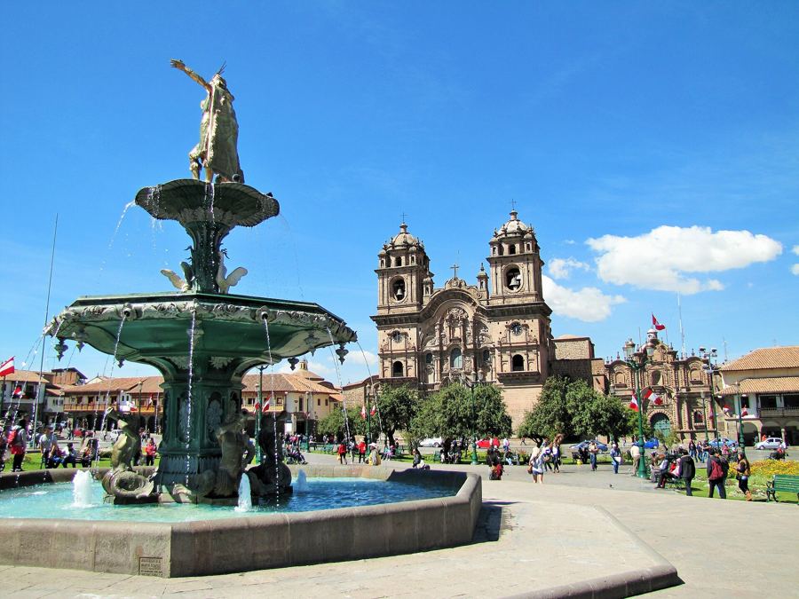 3,400 mCusco, Inca walls under colonial balconies
Day 2: Inside the citadel
Most circuits begin near the upper terraces, where the classic view opens out: the city spread along the saddle, the grass plazas, the grey stone walls, and Huayna Picchu rising behind. Llamas graze on the terraces. When the morning cloud lifts off the ridge, it often goes in a few minutes, and the whole site appears at once.
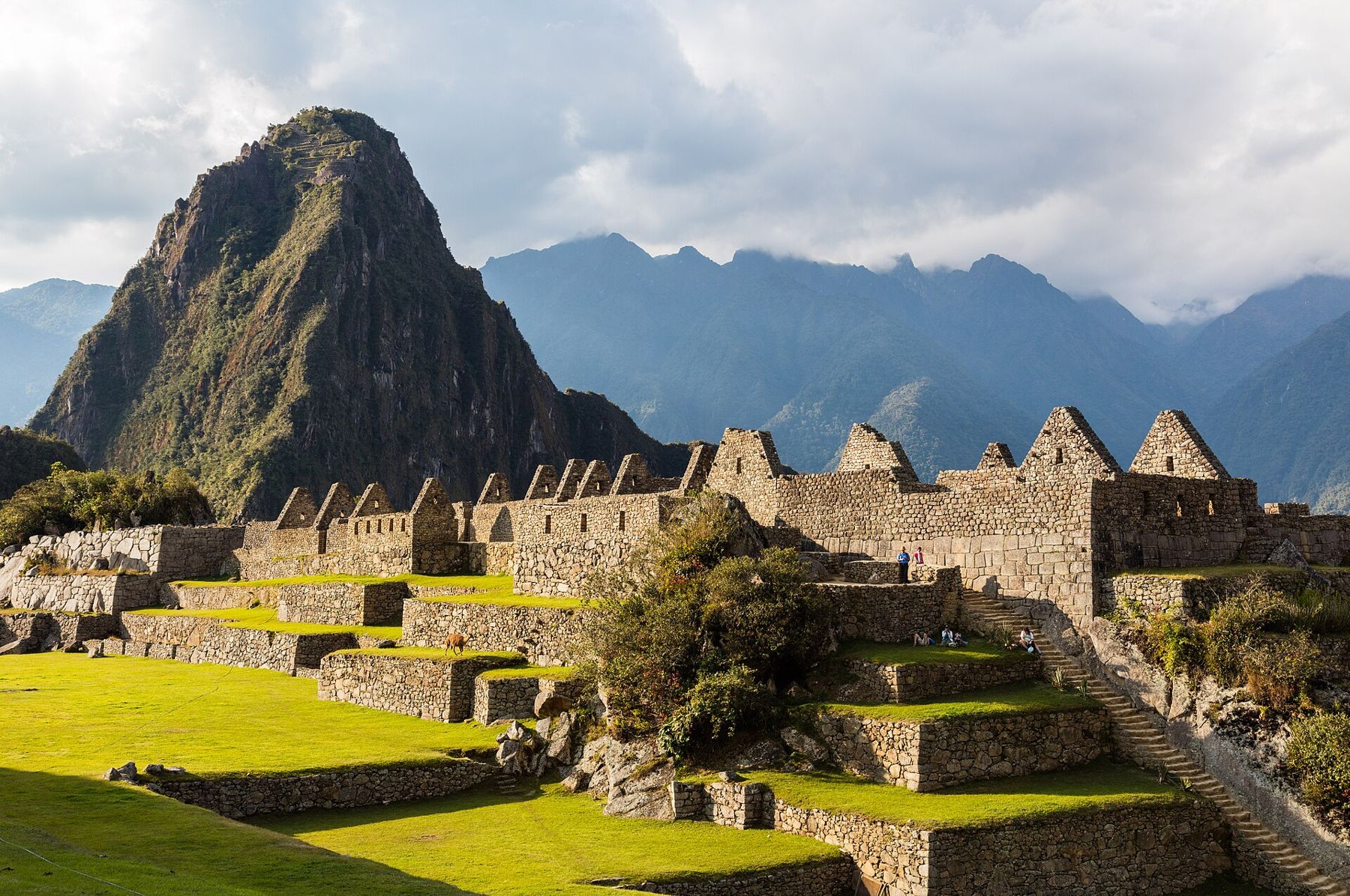
The architecture is the reason to look closely. The finest buildings are of granite cut so precisely that the blocks fit without mortar. The curved wall of the building known as the Temple of the Sun follows the shape of the rock below it. The Temple of the Three Windows looks east over the main plaza. On a high point stands the carved stone known as the Intihuatana, its purpose still debated. Around these, the plainer houses, storehouses and workshops are built of rougher stone, and the terraces drop in steps down the slopes, holding the soil and draining the heavy rain.
Walk slowly. Look at the joints between the stones, the trapezoid doors and niches, the way the water channels run between the buildings. Then look out: the mountains in every direction, the river far below, the cloud forest on every slope.
Day 2: Huayna Picchu
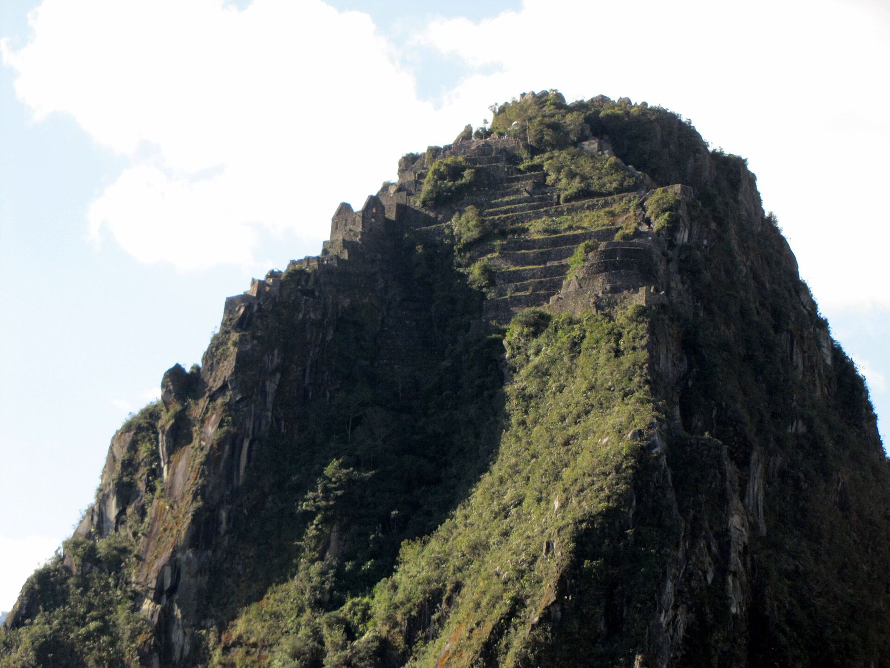
Huayna Picchu needs its own ticket, booked at the same time, with limited places each day. The path up is steep and narrow, with stone stairs cut into the rock, some of them very exposed, and steel cables to hold in a few places. The climb takes about an hour for most people, and at this altitude you will feel every step of it. It is not for anyone afraid of heights.
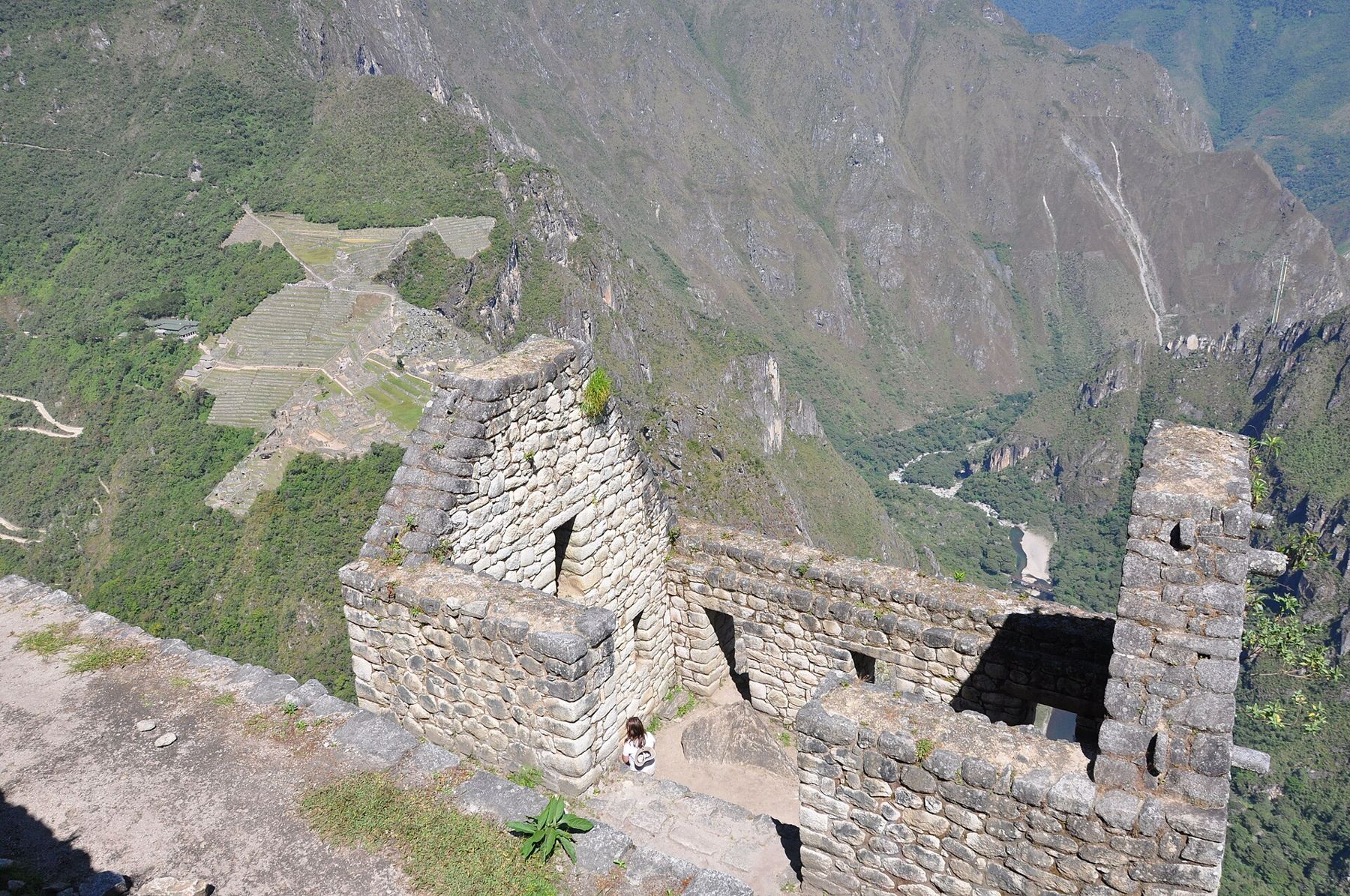
At the top, the citadel lies below you, small and complete on its ridge, with the bus road zigzagging down to the river. The alternative is Machu Picchu Mountain, on the other side of the site: a longer, higher, less exposed climb with a wider view.
1911, told carefully
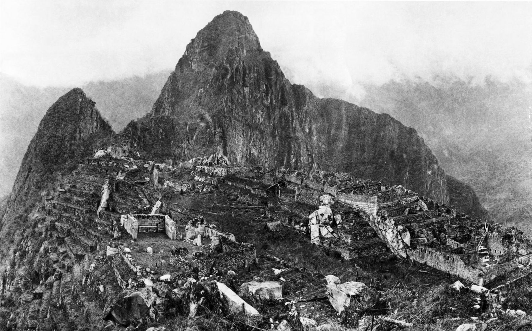
Hiram Bingham, an American academic from Yale, reached Machu Picchu in July 1911. A local farmer, Melchor Arteaga, led him up the slope, and families were already farming the terraces when he arrived. Others from the region had visited before him, and some had left their names on the walls. Bingham did not discover Machu Picchu. What he did was bring it to the world's attention, through the expeditions that followed and through his photographs, which were published widely in 1913.
His expeditions also took thousands of objects and remains from the site to Yale. Peru asked for them back for decades, and they were finally returned, starting in 2011. Today they are kept in Cusco.
Pacing it
Give yourself two nights near the site if you can: one before, to be at the gate early, and one after, so you are not watching the clock for a train. Drink water, eat something before the climb, and rest in the shade when you need to. If you feel unwell from the altitude anywhere in the region, go slowly and see a doctor; going lower usually helps.
Where the profile goes next
Machu Picchu is the low point of most trips in the region. The train back climbs through the gorge to Ollantaytambo and the Sacred Valley, then on to Cusco at 3,400 metres. From there the route keeps rising, to the Altiplano and the shores of Lake Titicaca at about 3,800 metres, where the air is thinner again. If you are heading south instead, Arequipa's white stone streets sit at almost the same height as the citadel.
Before you leave, find a quiet corner on the upper terraces, sit down and wait for the cloud. It comes up from the river, wraps Huayna Picchu, and goes again, and the stone city is still there when it clears.