Cuenca lies in a broad green valley in the southern highlands of Ecuador, at 2,560 metres. Four rivers run through it, down from the high moorland to the west, and the city grew up on a terrace above the largest of them, the Tomebamba. Its full colonial name, Santa Ana de los Cuatro Ríos de Cuenca, still describes it well.
It is Ecuador's third city, but its centre feels like a small town. The streets of the old grid are lined with two-storey houses of whitewashed adobe and brick, with wooden balconies, tiled roofs and wrought iron, and later buildings with carved facades in the French style of the early twentieth century. Over them all rise the three great domes of the new cathedral, covered in blue and white tiles, catching the light from every corner of the valley. UNESCO listed the historic centre in 1999.
Air, light and pace
At 2,560 metres the air holds about three quarters of the oxygen at sea level. Most people notice it on the first day: shorter breath on the stairs down to the river, a slight heaviness, perhaps a headache by evening. Take the first day slowly. Walk the flat streets of the centre, drink plenty of water, eat lightly, and keep the stairs and the day trips for later.
The climate is mild and spring-like through the year, with cool mornings, warm middays and cold nights. Rain comes often in the afternoons, more in the first half of the year. The sun at this altitude, so close to the equator, is intense even when the air feels cool, so wear a hat. Carry a warm layer for the evening; many houses here are not heated.
The cathedrals and the squares
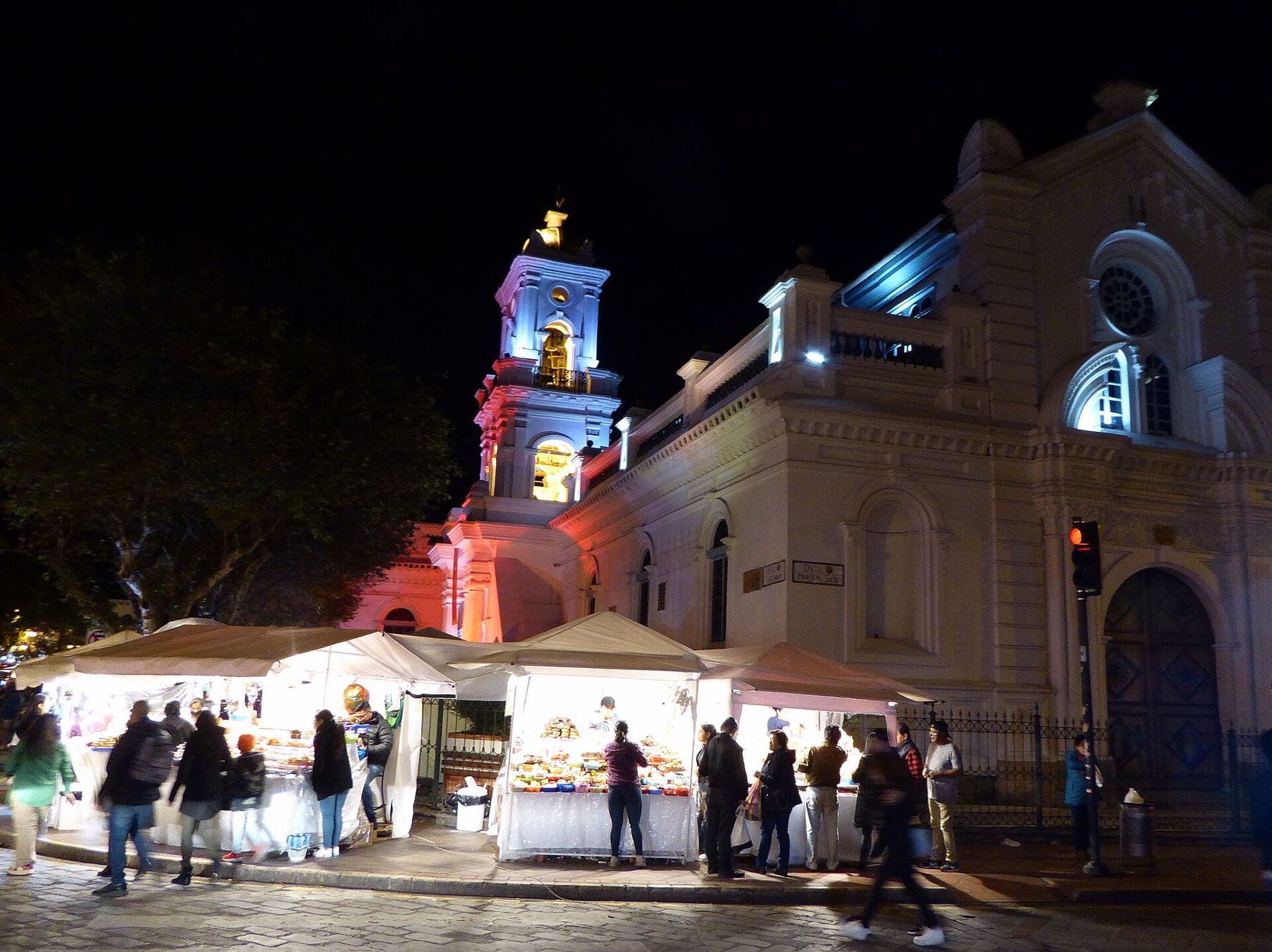
The centre of the city is the Parque Calderón, a square shaded by tall trees, with gardens, benches and shoeshine stands. On one side stands the new cathedral, the Catedral de la Inmaculada Concepción, begun in 1885. It is a huge building of brick and stone, and it dominates the city. Its bell towers stop well short of the height the design called for, and inside, the space is vast and simple, with light coming through the domes and the stained glass. From the squares nearby, and from the roof terraces of the old town, the domes rise blue against the mountains.
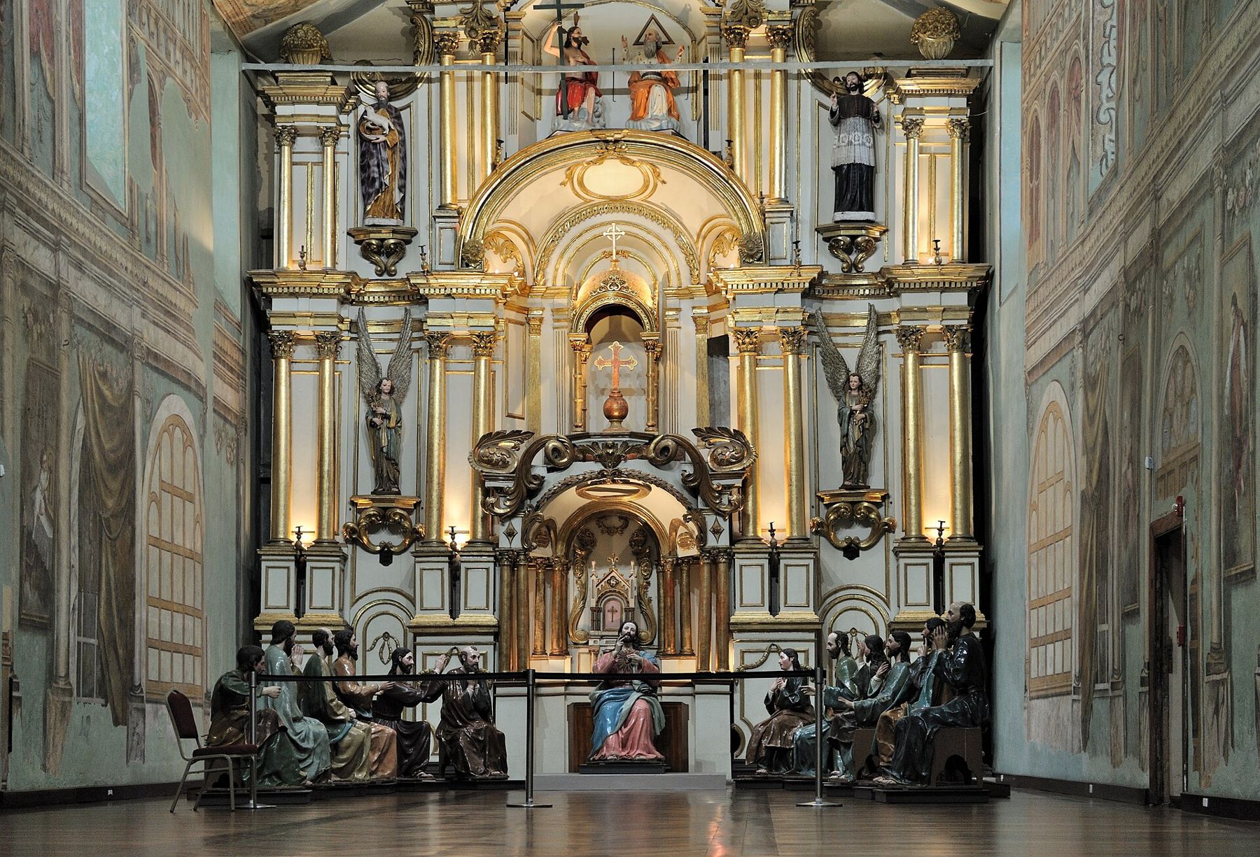
On the opposite side of the square is the old cathedral, El Sagrario, begun in 1557, the year the city was founded. It is smaller, plainer and older, and it has been restored as a museum of religious art and a hall for concerts. Inside, painted walls and carved figures fill the old nave.
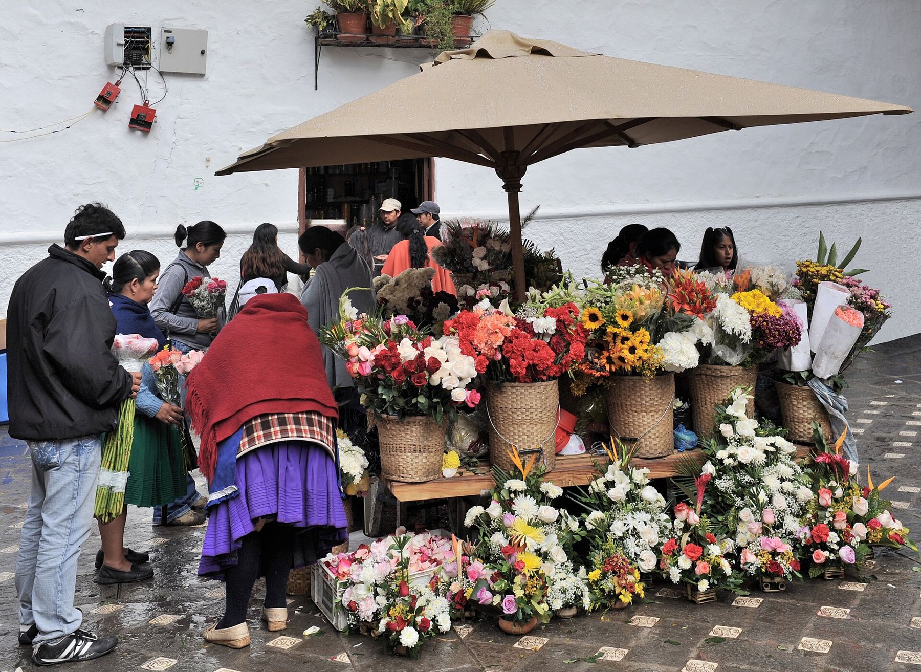
Beside the new cathedral, the small Plaza de las Flores is a daily flower market in front of the old convent church of El Carmen. Women from the countryside sell roses, lilies and bunches of herbs, many dressed in the full pleated skirts and white straw hats of the local tradition. The colours are strong against the white walls.
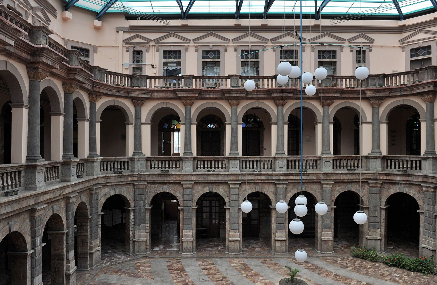
Across the city, many government buildings occupy grand houses and former colleges. One of them, on the main square, now holds the courts, its arcaded courtyard rising under a glass roof.
The Tomebamba and its terraces
South of the centre, the land drops in a steep bank to the Tomebamba River. This edge of the old town is called El Barranco. Houses perch on the cliff edge, several storeys high on the river side, with balconies hanging over the water. From the top, at the Calle Larga, stone stairways lead down through the bank to the riverside.
The river is fast, cold and noisy, running over stones under willows and eucalyptus trees.
The river is fast, cold and noisy, running over stones under willows and eucalyptus trees. Paths and lawns line both banks. People jog, walk dogs, sit on the grass and cross the old bridges. It is the best walk in the city, and the easiest way to see how the old town sits on its terrace above the water.
At this altitude, the stairs back up from the river are short but tiring. Stop halfway; there is no hurry.
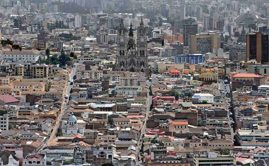 2,850 mQuito, an old town on the slopes of a volcano
Pumapungo and the Inca city
Long before the Spanish came, this valley was home to the Cañari people, whose city here was called Guapondélig. In the late fifteenth century the Inca conquered the region and built a city of their own on the same site, Tomebamba, which became one of the most important places in the north of their empire. Within a few decades it lay in ruins, destroyed in the civil war between two Inca brothers on the eve of the Spanish conquest.
At the eastern end of Calle Larga, the Pumapungo museum stands above the river. Inside are collections on the peoples of Ecuador, from the coast to the Amazon, with costumes, masks, tools and reconstructions of homes. Behind the museum, on the slope down to the river, lie the remains of the Inca site: foundations of buildings, long walls of fitted stone, and terraces dropping toward the water, now planted with gardens and native plants. Birds are kept in an aviary and llamas graze on the grass.
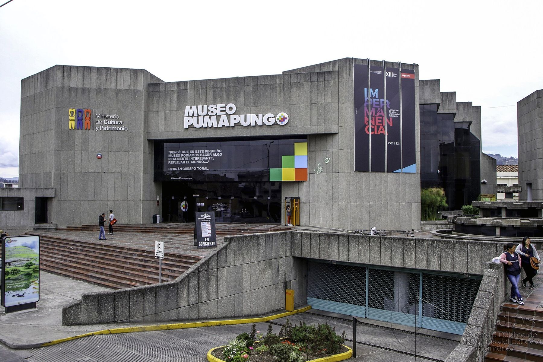
The ruins are modest compared with those in Peru, but this is one of the few places where you can stand in the Inca city that once lay beneath Cuenca. The finest Inca site in Ecuador, Ingapirca, is a day trip north of the city.
The hat that is not from Panama
The hat the world calls a Panama comes from Ecuador. It is woven from paja toquilla, the fibre of a palm-like plant grown on the Ecuadorian coast. The name comes from the trade routes of the nineteenth century, when the hats were shipped through Panama and became popular there, notably during the building of the canal.
Cuenca and the villages around it have long been one of the main centres of weaving and finishing. The straw arrives from the coast, and families weave the hats by hand, working from the crown outward, often in their homes. The finest take many weeks and are so tightly woven that they can be folded. In the city's workshops, the rough woven hats are washed, bleached, shaped on wooden blocks, ironed and trimmed.
In 2012 UNESCO added the traditional weaving of the toquilla straw hat to its list of intangible cultural heritage. A good hat is light, cool and keeps off the high sun, which is exactly what a visitor here needs.
Beyond the city
For a view of the whole city, take a taxi up to the Mirador de Turi, on a hill to the south. The valley is spread out below you, the red roofs and the white walls, and the blue domes of the cathedral at the centre of it all.
West of the city, the road climbs to the Cajas National Park, a high moorland of grass, rock and hundreds of lakes at around 4,000 metres. The air there is thin and cold, the weather changes fast and the wind is strong. Go only after a few days in Cuenca, bring warm layers and rain gear, and walk slowly.
Food in Cuenca is hearty highland cooking. Look for mote, boiled white maize, served with almost everything; hornado, slow-roasted pork, sold in the markets; and a hot drink of cinnamon on a cold evening.
Where the profile goes next
From Cuenca the Andes run south into Peru, toward the old Inca capital at Cusco, some 840 metres higher. To the west, the road drops in a few hours from the moorland of the Cajas to the hot coastal plain, a reminder of how fast altitude changes in the Andes. If you are travelling north, the high savanna of Bogotá sits at almost the same height as Cuenca. And the long Pacific coast leads south to Lima's cliffs, at sea level, where the air is heavy and the fog rolls in from the ocean.
Before you leave, walk to the river at dusk. The water is loud, the stone houses on the Barranco catch the last light, and the blue domes glow above them.