Manaus is a city of two million people with no reliable road to the rest of Brazil. It sits on the north bank of the Rio Negro, just above the point where it meets the Solimões, in the middle of the largest tropical forest on earth. Most visitors arrive by air. Some come the old way, by riverboat from Belém or Santarém, sleeping in hammocks on deck for days.
At about ninety metres above sea level, the air is thick and rich. There is no altitude to adjust to, but the heat and humidity are constant: temperatures in the low thirties most afternoons, nights that barely cool, and air so wet that clothes never quite dry. Walk slowly, keep to the shade, drink more than you think you need, and plan the outdoor hours for early morning and late afternoon. What really sets the terms here, though, is the water.
The opera house in the forest
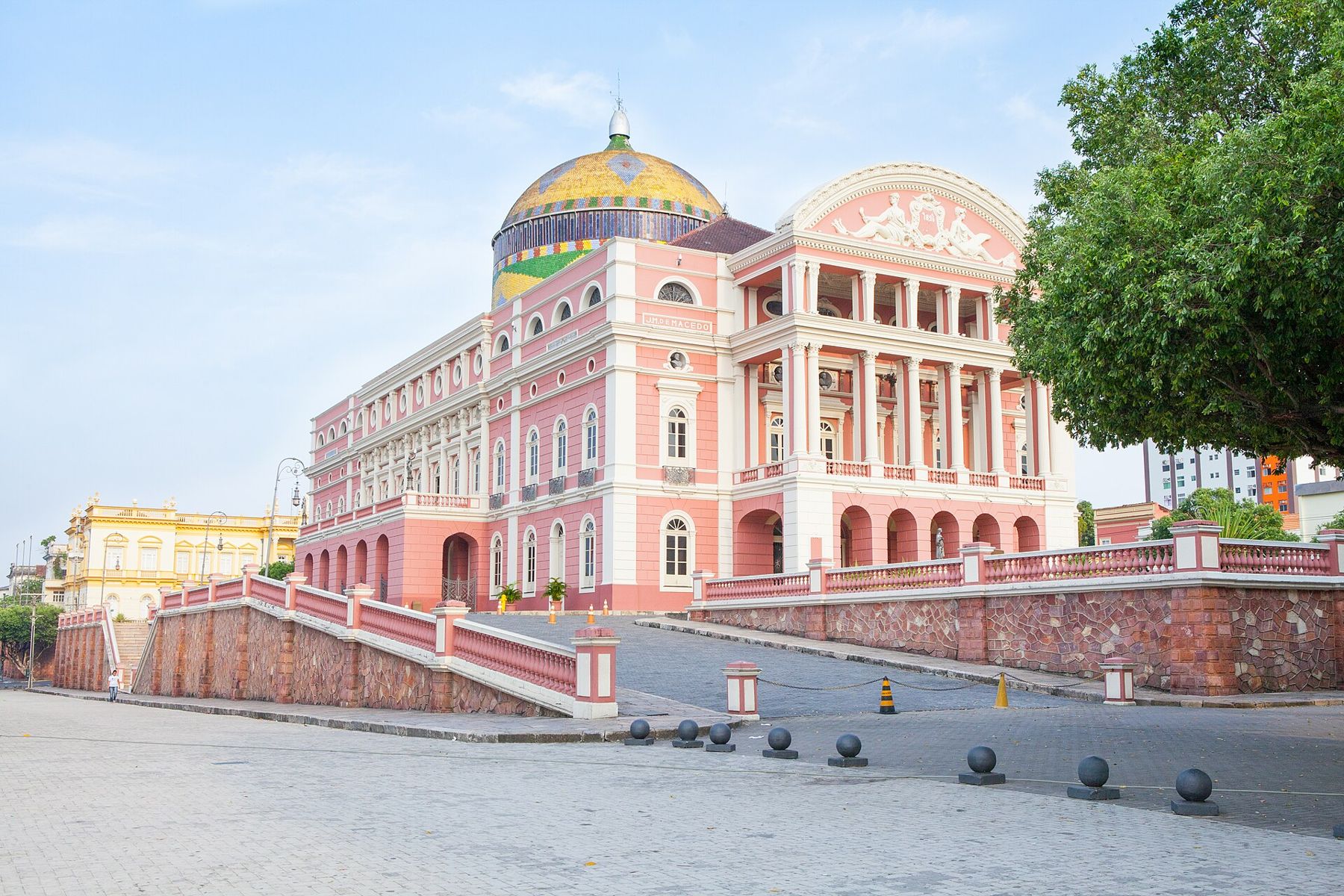
The Teatro Amazonas is the reason many people know the name Manaus. It opened in 1896, at the height of the rubber boom, when latex from the forest made a few merchants in this port astonishingly rich and when the work of tapping it fell on Indigenous and migrant labourers in conditions that were often brutal. The money built a European city in the jungle: paved streets, electric light, and this opera house, with its dome of glazed tiles in the green, yellow and blue of the Brazilian flag.
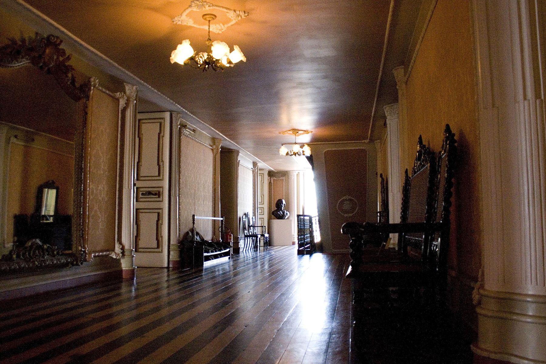
Inside, the auditorium is a horseshoe of tiers in red and gold, and guided visits run through the halls and the ballroom with its painted ceiling and polished wooden floor. It is still a working theatre, with an opera festival and regular performances. In the square in front, the Largo de São Sebastião, the black-and-white wave pattern of the pavement is said to represent the meeting of the dark and pale rivers.
The boom ended in the 1910s, when rubber grown on plantations in Asia undercut Amazonian rubber. The city declined, and later revived as a free-trade zone and industrial centre. Walk down from the theatre to the waterfront and you see both cities: the iron-framed municipal market, built in the late nineteenth century, and the floating docks where boats load for towns days upriver. Stalls sell fish from the river, guaraná, manioc flour and fruits most visitors have never heard of. At dusk the water turns copper and the boat traffic thins.
The Meeting of the Waters
A short boat ride downstream from the city, the dark Rio Negro meets the pale, silt-laden Solimões. The two flow side by side in the same channel for several kilometres without mixing, black beside café-au-lait, because they differ in temperature, speed and the amount of sediment they carry. From the boat you can trail a hand in each. The line between them is sharp enough to photograph, and it wavers and curls where the currents push against each other.
Below the confluence the river is the one Brazil calls the Amazonas. River dolphins, the grey tucuxi and the pink boto, often surface near the meeting point. Sun on the water is fierce on a boat, even on a cloudy day, so take a hat, sunscreen and a long-sleeved shirt.
 5 mRio, between the rock and the sea
Into the igapó
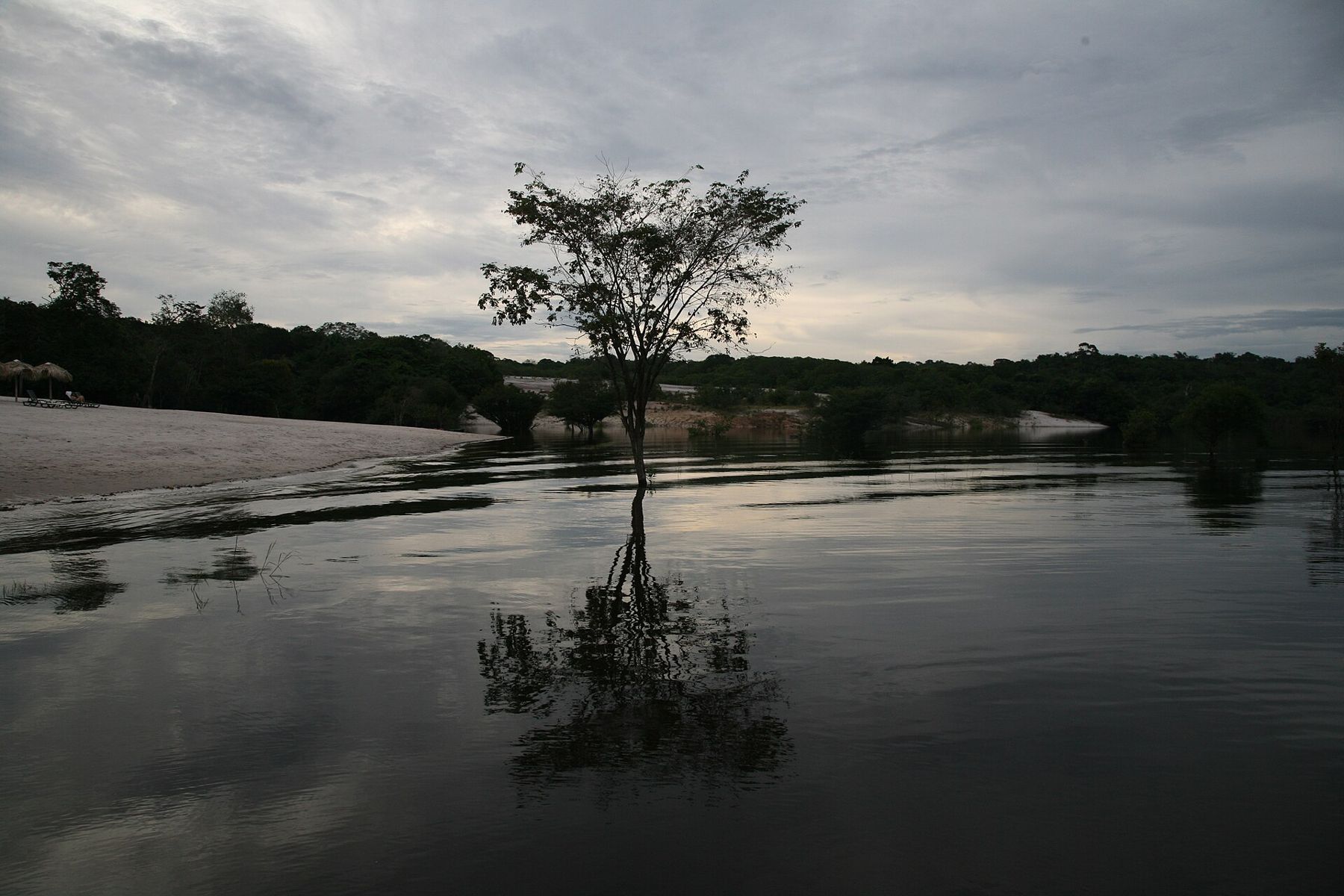
The forest along the Rio Negro is a particular kind. The black water, stained by tannins from decaying leaves, is acidic and poor in nutrients, and when the river rises it floods the forest along its banks for months. This flooded blackwater forest is called igapó. The forest flooded by the sediment-rich white-water rivers, which is more fertile, is called várzea.
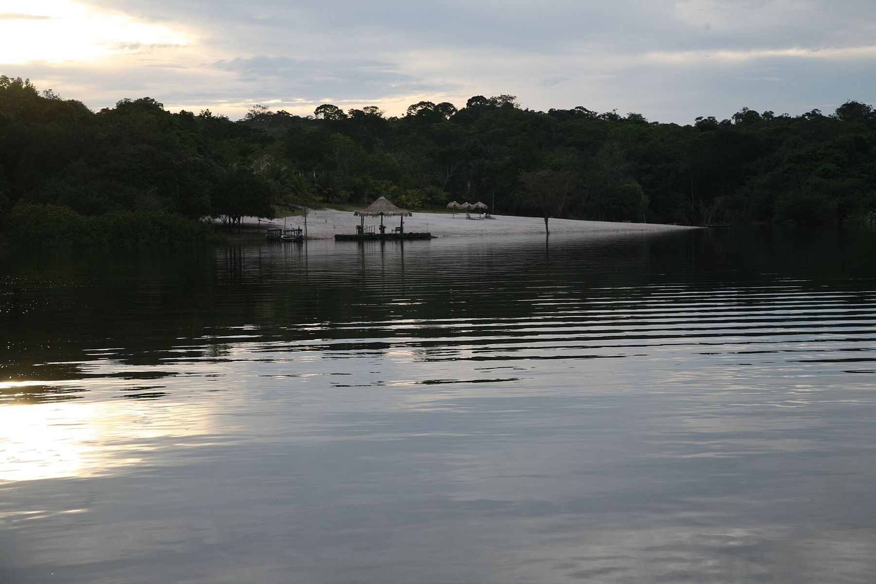
Upriver from Manaus, most trips into the forest go by boat to river lodges or communities, and then by canoe. In the high-water months you paddle between tree trunks, through the canopy of the flooded forest, with the water as still and dark as a mirror. At dawn the birds start before the light: parrots crossing the river in pairs, kingfishers, and the long liquid calls of birds you will not see. At night, a torch on the water picks out the red eyes of caimans.
Mosquitoes are often noticeably fewer on blackwater rivers than on white-water ones, but not absent. Take repellent and long sleeves, and ask a doctor about vaccinations and malaria precautions for the area you will visit well before travelling. Further up the Rio Negro lies the Anavilhanas archipelago, one of the largest groups of river islands in the world, protected as a national park.
High water, low water
The river here rises and falls by around ten metres in a normal year. High water usually peaks around May and June, when the forest floods and canoe trips go deepest. Low water usually comes around October and November, when white sand beaches appear along the Rio Negro, trails open on dry ground and fishing is good. Both seasons are worth seeing; they are simply different trips.
In recent years, drought has pushed the low-water levels at Manaus to records, stranding boats and cutting off river communities for weeks. Ask about conditions before you plan a trip around a particular river route. The rains, which fall in every month, are heaviest from roughly December to May.
Choosing a trip
Trips into the forest from Manaus range from day excursions to the Meeting of the Waters to stays of several nights upriver. Use operators registered with the state tourism authorities, ask what the trip includes, and be wary of anyone selling tours at the airport or the bus station. A good trip goes far enough to get away from the city's noise and treats the riverside communities as hosts rather than scenery.
For the clothes, keep it light and covering: long, loose sleeves and trousers against sun and insects, a rain jacket, sandals for the boat and closed shoes for the trails. The page on packing for five climates has the full warm-lowland list. To see how the Amazon's seasons fit with the rest of the continent, read seasons across a continent.
Back to the city
On the last day, come downriver to Manaus and finish at Ponta Negra, the city's beach on the Rio Negro, where the water is warm and dark and the sunset turns the river gold. From here the profile points two ways. South-east, at sea level, the water keeps falling all the way to the great falls of Iguazu, on another river system entirely. West, the Amazon's own headwaters climb into the Andes, towards the high cities where the air thins and the first day is for walking slowly.