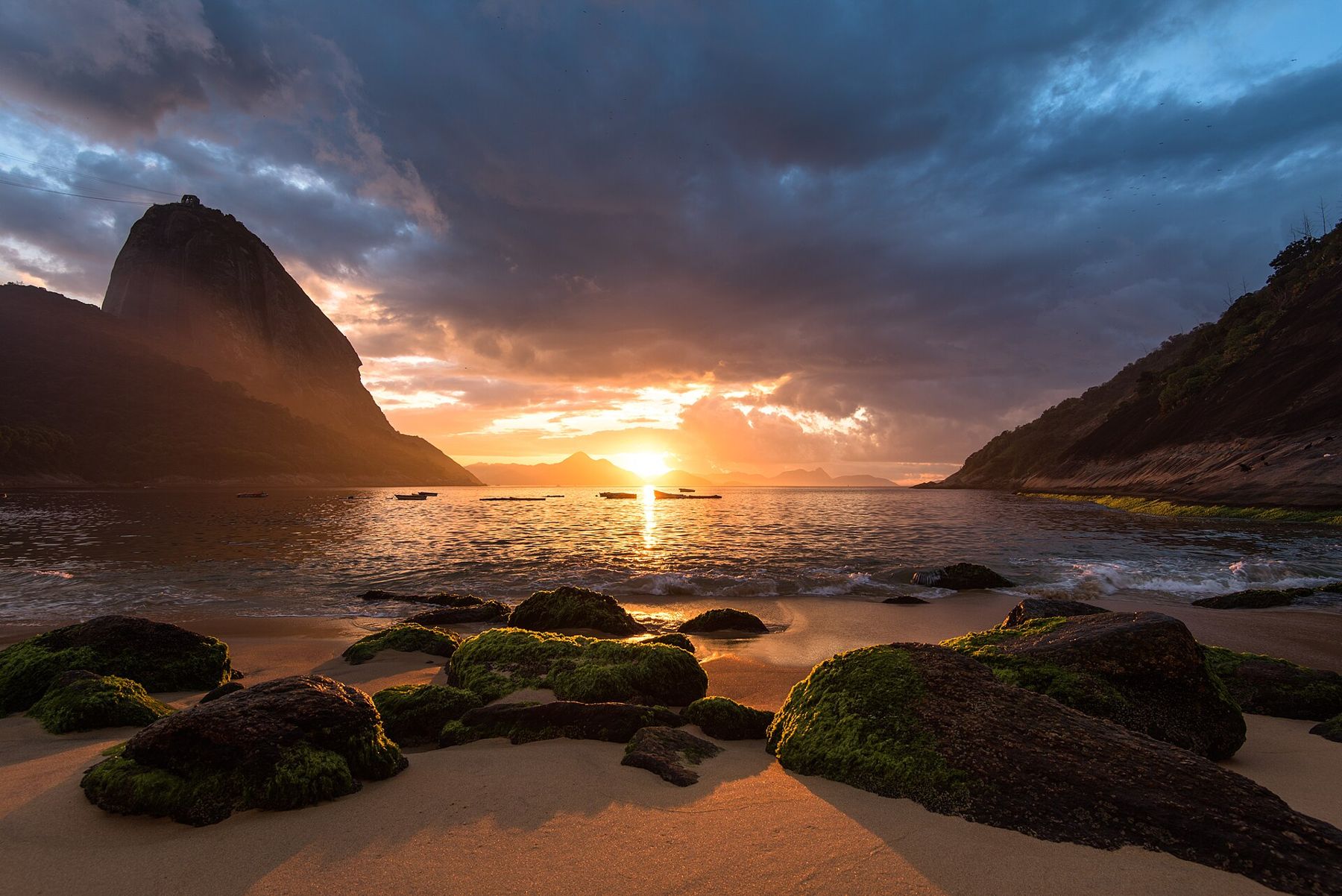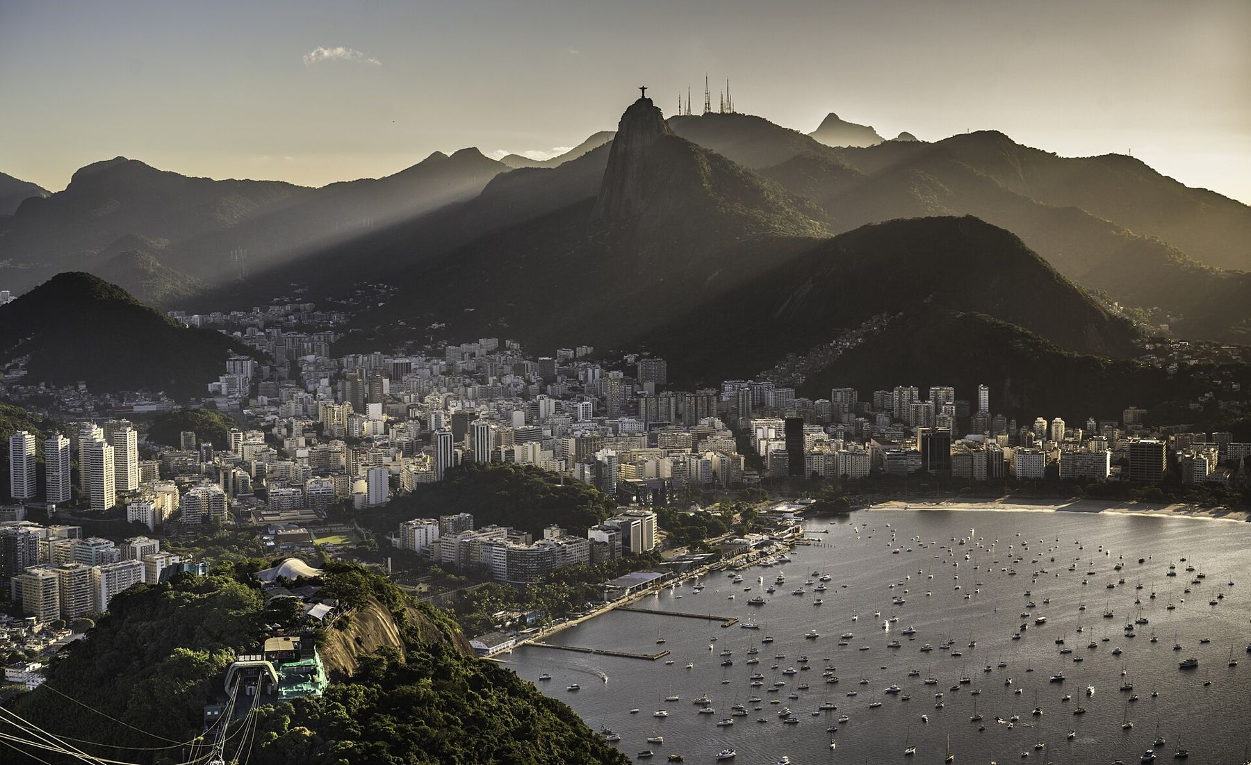
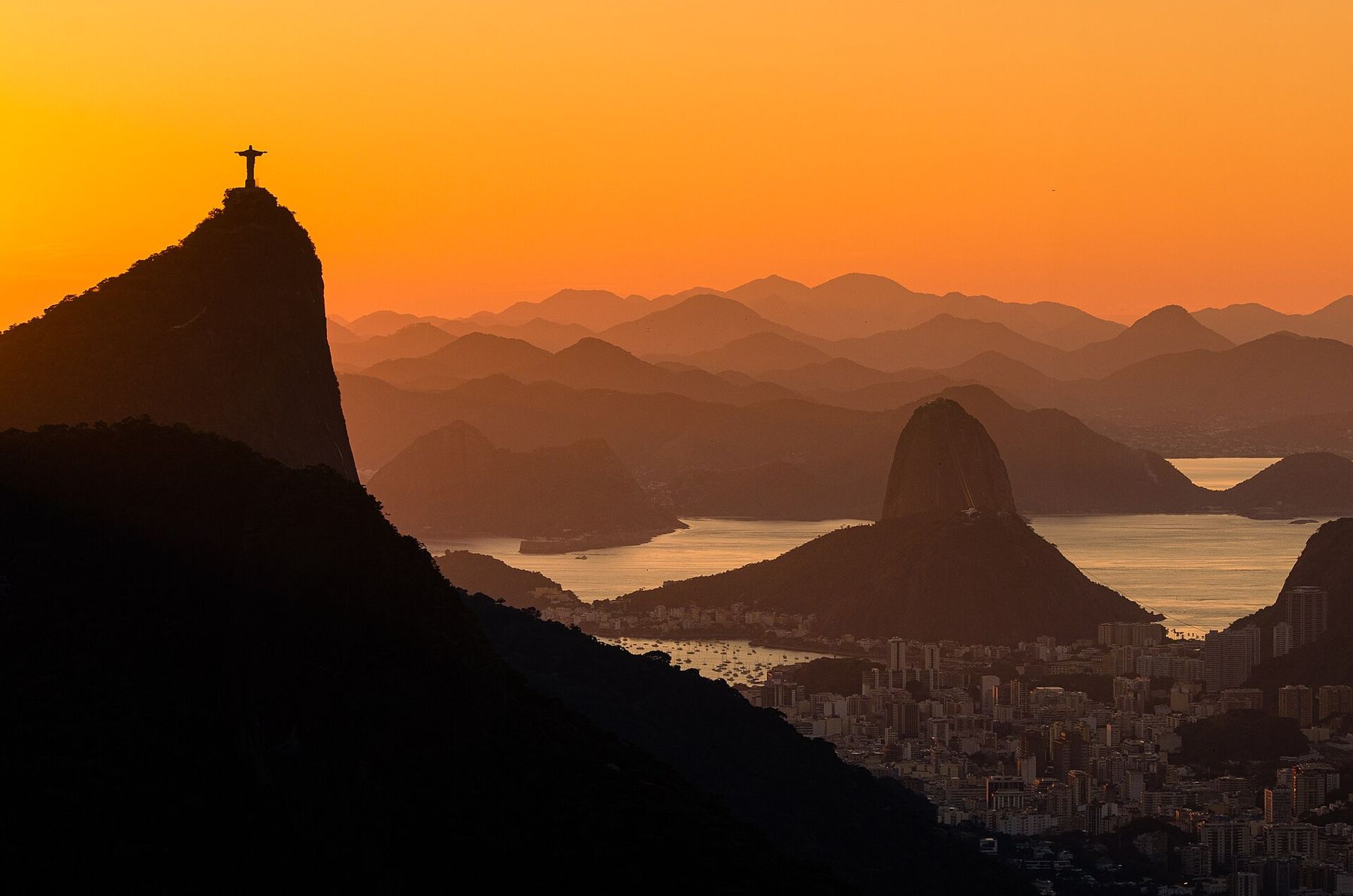
Rio de Janeiro is a city fitted into the spaces a mountain range left. Granite peaks rise out of the urban fabric like islands: Sugarloaf at the mouth of Guanabara Bay, Corcovado above the southern neighbourhoods, the two humps of Dois Irmãos at the end of Leblon. Between them, a forest climbs the slopes, and along the ocean the beaches run in long curves of pale sand. In 2012 UNESCO listed the city's landscape, the meeting of mountain and sea, as a World Heritage site.
Almost all of it is at sea level, and nothing here asks your lungs to adjust. The work is done by heat, light and the sea. In the summer months, roughly December to March, the air is hot and wet, the afternoons build to sudden thunderstorms, and the sand burns bare feet by midday. In the cooler months from May to September the days are warm and clear, and the city is easier to walk. The sun is strong in every season.
Copacabana and the long curve
Copacabana is the beach that made Rio's name: about four kilometres of sand in a single curve, from the fort at one end to the Leme rocks at the other. Behind it, Avenida Atlântica carries traffic along a promenade paved in the black and white wave pattern laid out by the landscape designer Roberto Burle Marx. The waves on the pavement echo the waves on the sea, and the city walks them at all hours.
The beach is a public room. Football and footvolley on the sand, sellers walking the length of it with cool boxes and kangas, older residents swimming at dawn before the heat. The Atlantic here is open water: waves can be strong and currents real, and lifeguard posts mark where it is wise to go in. Look for the flags, and swim near others.
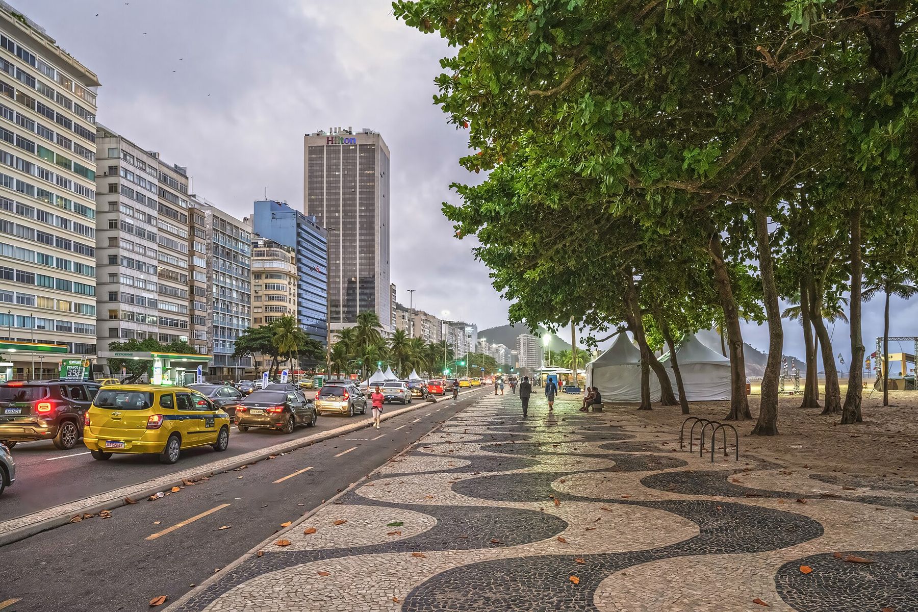
Take little to the beach: a towel, some cash, sunscreen. Phones and bags left alone on the sand disappear, and it is wiser not to walk the beach after dark.
At the southern end, the old fort at the tip of the point still belongs to the army, and part of it is open as a museum. From its walls you look back along the whole curve of Copacabana to the Leme rocks, with the hills behind the apartment blocks and, on most mornings, a line of fishing boats pulled up on the sand below the point. Early on a weekday, before the beach fills, the light is soft and the water is at its calmest, and this is the best hour for a long walk on the sand.
Ipanema, Arpoador and the sunset
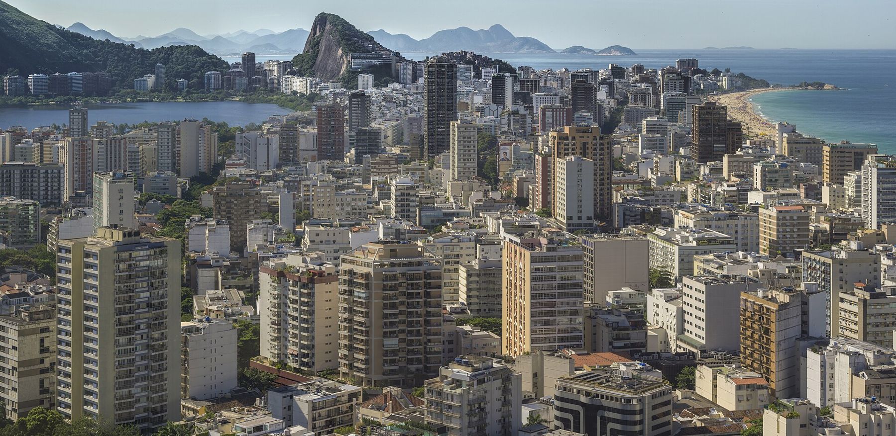
Around the rocky point of Arpoador, the next beach begins: Ipanema, and beyond a canal, Leblon. These two make a straighter line of sand, numbered by lifeguard posts that also mark social territories, from families to surfers. At the far end, the twin peaks of Dois Irmãos close the view, with the houses of the Vidigal favela climbing their lower slopes.
In the late afternoon, people gather on the rock at Arpoador to watch the sun drop behind Dois Irmãos. When it goes down on a clear evening, the crowd often applauds. It is one of the city's small daily ceremonies, and it costs nothing.
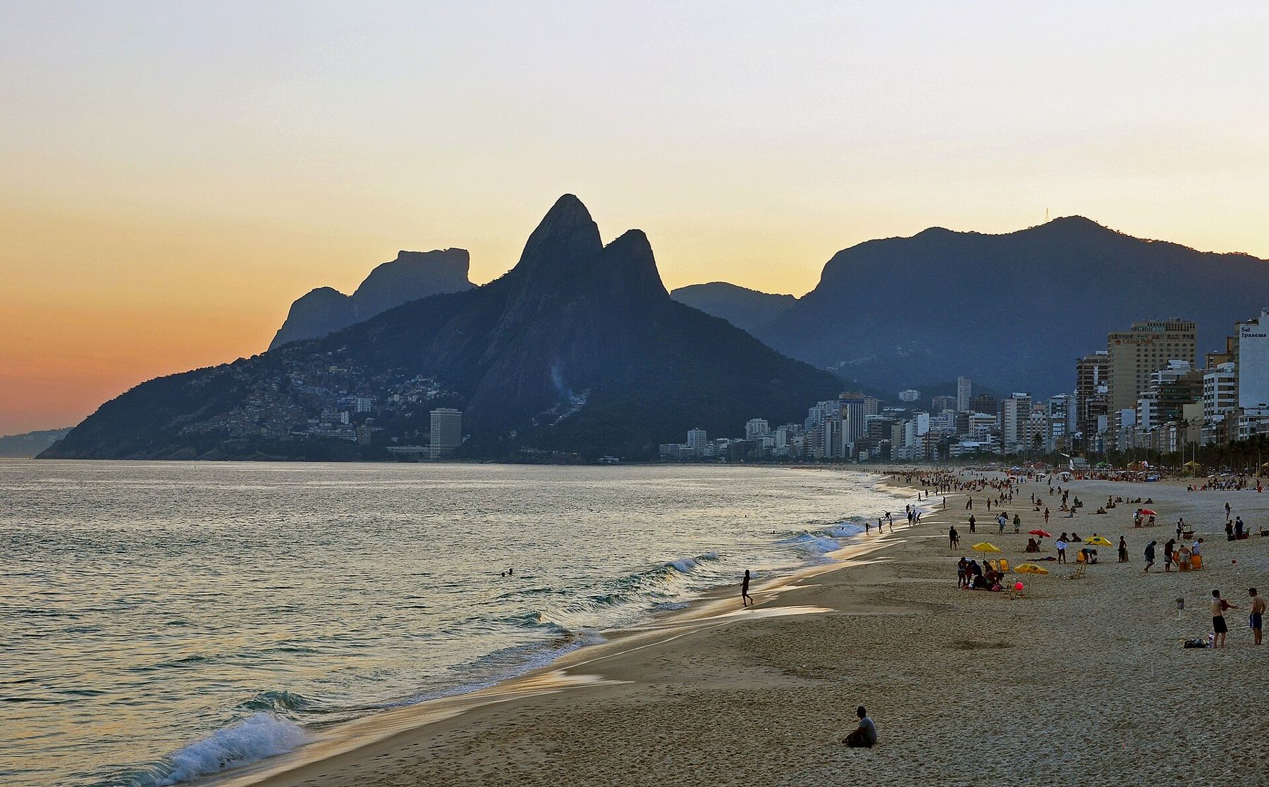
From the top of Dois Irmãos, reached on a steep trail through Vidigal, the whole of the southern zone spreads out below: Leblon and Ipanema along the sea, the lagoon of Rodrigo de Freitas behind them, and the granite of Corcovado and Sugarloaf in the distance.
Sugarloaf by cable car
Sugarloaf, Pão de Açúcar, rises 396 metres straight from the water at the mouth of Guanabara Bay. The cable car to the top was opened in 1912, among the first of its kind in the world, and it goes up in two stages: first from Praia Vermelha to the lower summit of Morro da Urca, then across a long span of air to Sugarloaf itself. Glass cars swing slightly as they cross. The trip takes minutes.
At the top, the view is of the whole bay: the city to the west, the bridge to Niterói to the north, Copacabana's curve to the south, and on a clear day the mountains inland. Late afternoon is the classic time to go up and stay for the lights coming on below. It is windier up there than on the beach and it can feel cool, so bring a light layer. Climbers go up the rock routes on the face, and a trail also leads to Morro da Urca on foot from Praia Vermelha.
Rio de Janeiro is a city fitted into the spaces a mountain range left.
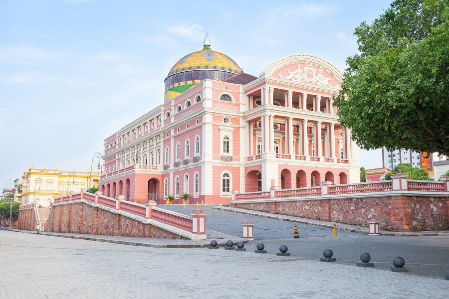 92 mThe Amazon from Manaus
Corcovado and the forest
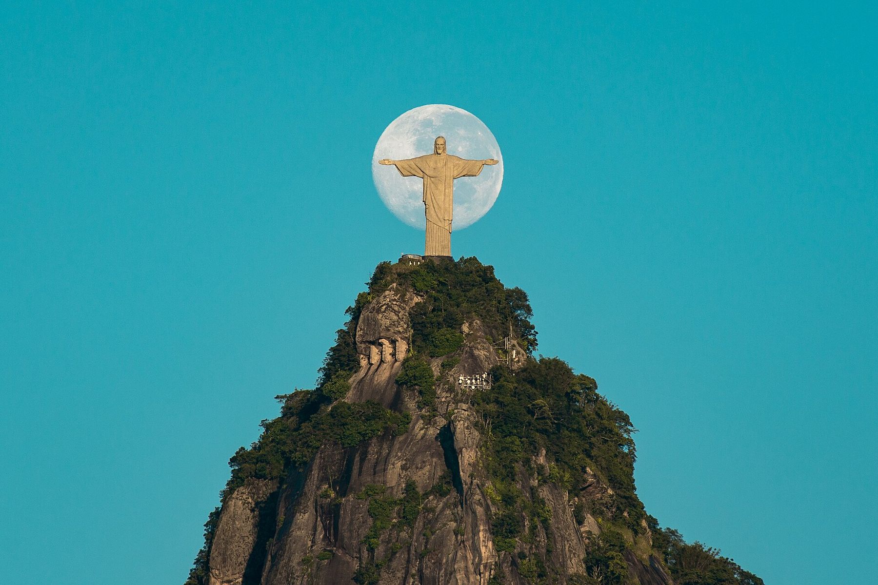
Corcovado, the hunchback, rises 710 metres above the city, and on its summit stands Christ the Redeemer, arms open over everything. The statue was completed in 1931. It stands about thirty metres high on its pedestal, and is built of reinforced concrete faced with a mosaic of small soapstone tiles. On cloudy days it disappears completely, and the city looks up at nothing.
The cog railway climbs through the forest from Cosme Velho, as it has since the late nineteenth century, and the road runs up through the Tijuca National Park, one of the largest forests inside any city in the world. The forest was largely replanted in the nineteenth century, after coffee plantations had stripped the slopes and the city's water supply suffered. Capuchin monkeys and toucans live in it; hikers walk its trails to waterfalls and peaks.
The summit platform is often crowded. Arrive early, check the cloud before you go up, and accept that there are few days without haze. The view, when it opens, puts the whole city in its place: the lagoon, the beaches, Sugarloaf small below.
The Selarón steps and the old city
Between Lapa and Santa Teresa, a flight of public stairs has been covered in tiles. The Chilean-born artist Jorge Selarón began tiling the steps outside his house around 1990 and kept going until his death in 2013, adding thousands of tiles in red, green, yellow and blue, many sent by visitors from around the world. The Escadaria Selarón is now one of the most photographed places in the city, best visited early, before the crowds and the heat.
At the foot of the steps, Lapa's white aqueduct, the Arcos da Lapa, carries the little tram up to the hillside neighbourhood of Santa Teresa, with its old mansions and views over the bay. The colonial centre, with its churches and squares, lies a short walk north. Rio was the capital of Brazil from 1763 until 1960, and of the Portuguese empire when the court fled here in 1808, and the centre shows it.
Heat, sea and safety
Rio's climate is the main condition to plan around. In summer, the heat and humidity are intense; temperatures can climb towards forty degrees, and the afternoon storms flood streets quickly. Walk in the morning and evening, rest in the middle of the day, and drink water constantly. Wear a hat and high-factor sunscreen, reapplied after swimming. In winter the sea is cooler and fronts bring a few days of rain and wind, but the days are often bright and pleasant.
Carry little, keep your phone out of sight in the street, and use registered taxis or app cars at night. Do not visit favelas on your own without local knowledge. For the general advice, see money and staying safe; for timing your trip across the continent's seasons, see seasons across a continent.
Onward from the sea
From Rio, the coast and the forest keep you near sea level. North along the Atlantic, Salvador is the older capital, with its own cliff. Inland and south-west, the water of the Paraná basin falls at Iguazu, two hundred metres up. And to the south lies Buenos Aires, flat, low and temperate, where the climate softens and the walking gets long.
Before you leave, go back to Arpoador once more at the end of the day, and watch the sun go down behind Dois Irmãos.