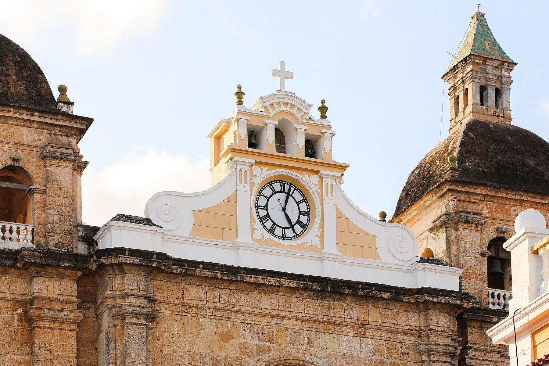
Cartagena de Indias sits almost exactly at sea level, so the air holds nothing back. There is plenty of oxygen and no lightness in the head. There is also no relief: the heat sits around thirty degrees through most of the year, and the humidity makes it feel heavier. On a still afternoon the coral-stone walls give the warmth back, so the shade of a balcony is worth more than the shortest route. On the profile this is about as low as the guide goes, and what replaces altitude here is heat.
The walk is built around that. Start at the fortress soon after it opens, cross Getsemaní while the streets are still being hosed down, keep the middle of the day for churches and shaded squares, and save the sea wall for the last hour of light. Wear loose cotton, a hat and sandals that can take cobbles. Carry more water than seems sensible, and stop in the plazas, where the trees and the breeze off the Caribbean do most of the work.
The city was founded by Pedro de Heredia in 1533. For two centuries it was one of the main ports of the Spanish Caribbean, where the fleets gathered silver and gold from the mainland before the Atlantic crossing, and where enslaved Africans were landed and sold. That wealth drew attacks, Francis Drake's raid of 1586 among them, and the attacks drew the walls. The port, fortresses and monuments have been on the UNESCO World Heritage list since 1984.
Castillo San Felipe de Barajas
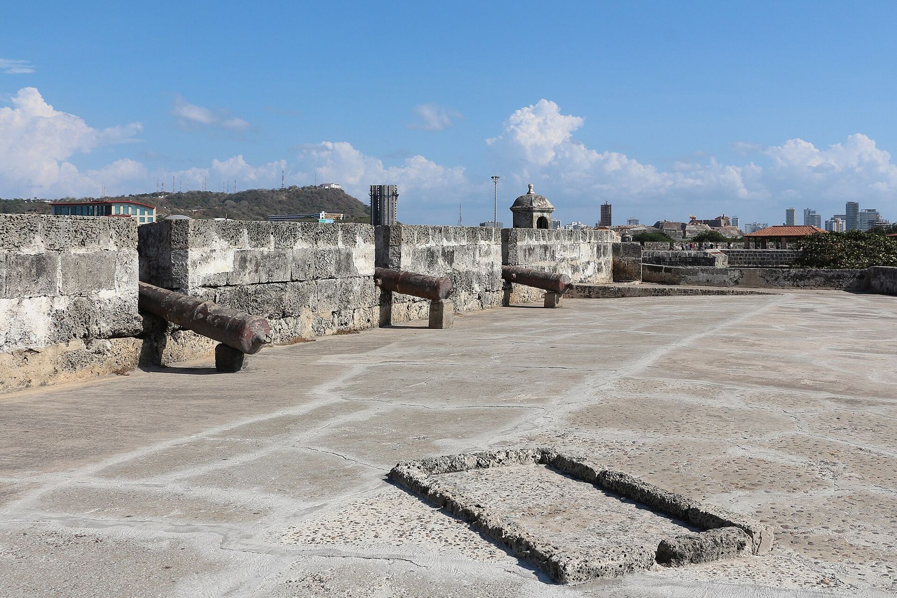
The great Spanish fortress on the hill of San Lázaro does not look like a castle so much as a mountain that has been dressed in stone. Ramps climb its flanks in switchbacks, and the batteries face every way an army could come by land. Begun in the seventeenth century and enlarged in the eighteenth, it held in 1741, when a large British force under Admiral Vernon besieged the city and failed to take it.
Inside, narrow tunnels run through the hill, cool and dim, built so that defenders could move unseen and hear footsteps coming. They are low in places, so mind your head. From the top you see the whole plan of the city: the walled centre to the west, the modern towers of Bocagrande beyond it, and the bay that made the place worth defending. There is very little shade on the ramps, which is the best reason to come first.
Plaza de la Trinidad, Getsemaní
Walk down off the hill and west into Getsemaní, the old barrio of artisans and dock workers just outside the inner walls. It was a working neighbourhood for most of its history, and its people are remembered for their part in the city's declaration of independence from Spain in 1811. Today its narrow streets carry painted murals, strings of flags and paper ornaments, and a great deal of foot traffic in the evening.
The Plaza de la Trinidad, in front of its plain colonial church, is the neighbourhood's living room. In the morning it is quiet, with pigeons and a few people reading on the benches. At night it fills with families, street food and music. The houses here are lower and humbler than inside the walls, one or two storeys with big wooden doors, and that is part of the point.
Torre del Reloj
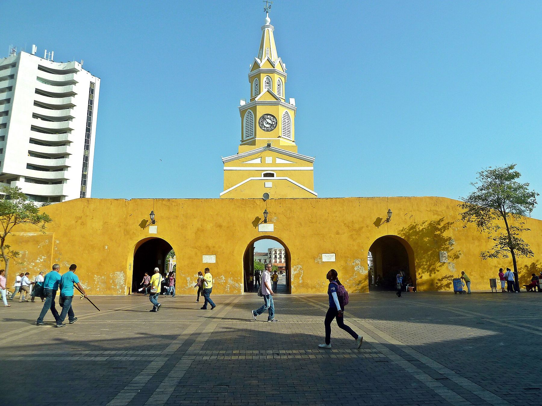
Walk north from Getsemaní, past the trees of the Parque del Centenario, and you arrive at the main gate of the walled city. The arches of the Puerta del Reloj were the original entrance through the wall, and the clock tower above them is a later addition from the republican period. It is the city's best-known outline, yellow against the blue, and it marks the line between two speeds of street life.
Just inside is the Plaza de los Coches, once the site of the slave market, now a triangle of arcades with sweet sellers under the porticoes. Directly beyond it opens the Plaza de la Aduana, the old customs square, with a statue of Christopher Columbus. From here every street in the old city is a choice between sun and shade, and the shade side is always the right one.
Church of San Pedro Claver
A short walk south, in a plaza of its own, stands the church and cloister named for Pedro Claver, the Catalan Jesuit who spent four decades in Cartagena in the seventeenth century working among the enslaved Africans brought through the port. He met the ships, nursed the sick and baptised the living. He died in 1654 and was made a saint in the nineteenth century. His remains lie in a glass casket beneath the high altar.
The cloister next door is a cool, green courtyard of stone arches and old trees, and the rooms around it hold displays on his life and on the history of the port. The church itself is plain and dark inside, which after the plaza feels like stepping into water. Outside, look for the metal sculptures of everyday trades scattered around the square.
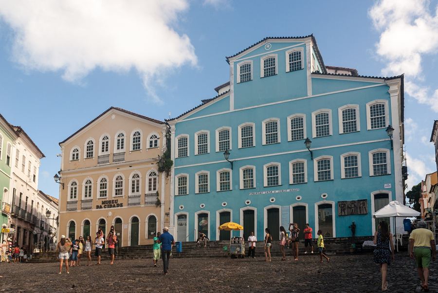 8 mSalvador, the Pelourinho
Plaza de Bolívar and the Palace of the Inquisition
Head north a few blocks to the city's greenest square. The Plaza de Bolívar, with its equestrian statue of the Liberator, is planted with tall trees, and at noon its benches are the coolest seats in the walled city. Around it stand the cathedral, the Gold Museum and the long white front of the Palace of the Inquisition, with its carved stone doorway and wooden balconies.
The Inquisition set up a tribunal in Cartagena in 1610, and its jurisdiction covered much of the Caribbean coast. The palace now houses a history museum, and its displays describe the trials and the instruments of punishment plainly. It is a sober visit, and the courtyard afterwards is a good place to sit and let it settle. If you want more of Colombia's colonial and republican story, the high capital tells it from the other end, in Bogotá's old quarter at 2,640 metres.
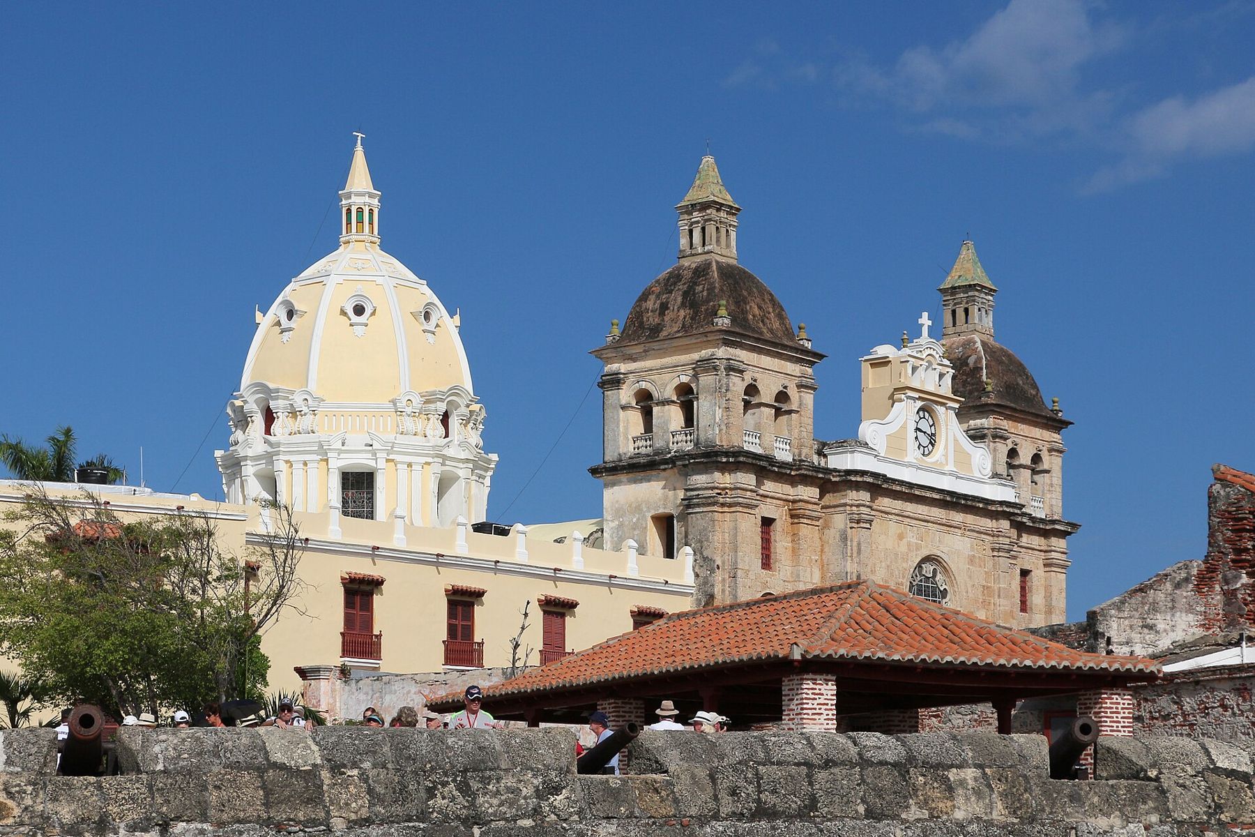
Las Bóvedas
From the plaza, walk north through the streets of San Diego, the quieter residential corner of the old city, to the far end of the walls. Las Bóvedas is a row of vaults built into the thickness of the wall in the late eighteenth century, the last major work on the defences. They served as storerooms and later as cells. Today their arched rooms hold craft stalls selling hammocks, woven bags and carvings.
Climb the ramp onto the wall here. The ramparts are broad enough to walk two or three abreast, and for the rest of the afternoon you can follow them west and south along the sea, with the old city on one side and the Caribbean on the other. The breeze is constant up here, and in the dry months, from December to April, the trade winds make the late afternoon easy.
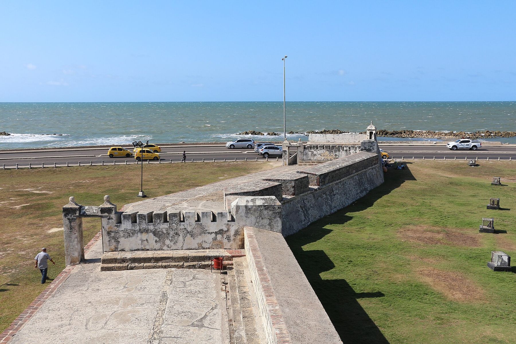
Baluarte de Santo Domingo
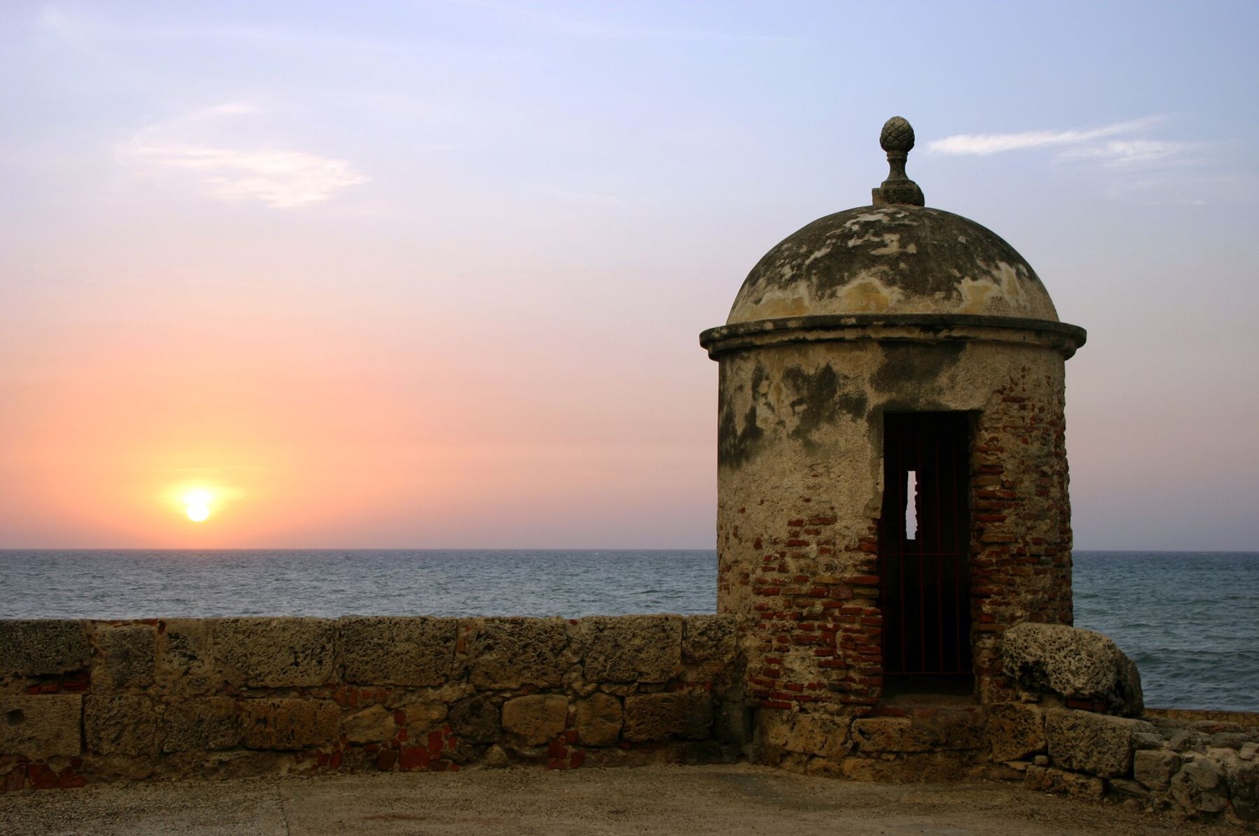
The walk ends on one of the western bastions, facing open sea. The guard posts on the corners of the walls, small domed sentry boxes of coral stone, frame the sunset better than any window. People come up here every evening to watch the light go, and there is a gentle, sociable crowd on the ramparts at dusk. Afterwards, the plazas below fill again, and the old city is at its most pleasant once the sun has gone.
Practical notes are short. Street vendors and touts are persistent in the walled city, and a clear, polite no is enough. Keep your phone and wallet close in crowds, and use registered taxis at night. Cartagena's rainy months, roughly from late April into November with the heaviest rain towards the end, bring short, heavy downpours and even more humidity, but the city never closes.
From here the coast runs east to the forest and beaches of the Tayrona coast, still at sea level. To climb out of the heat, the next step on the profile is Medellín, at roughly 1,500 metres, where the air is mild all year. And for advice on keeping valuables safe in busy old centres, see money and staying safe.