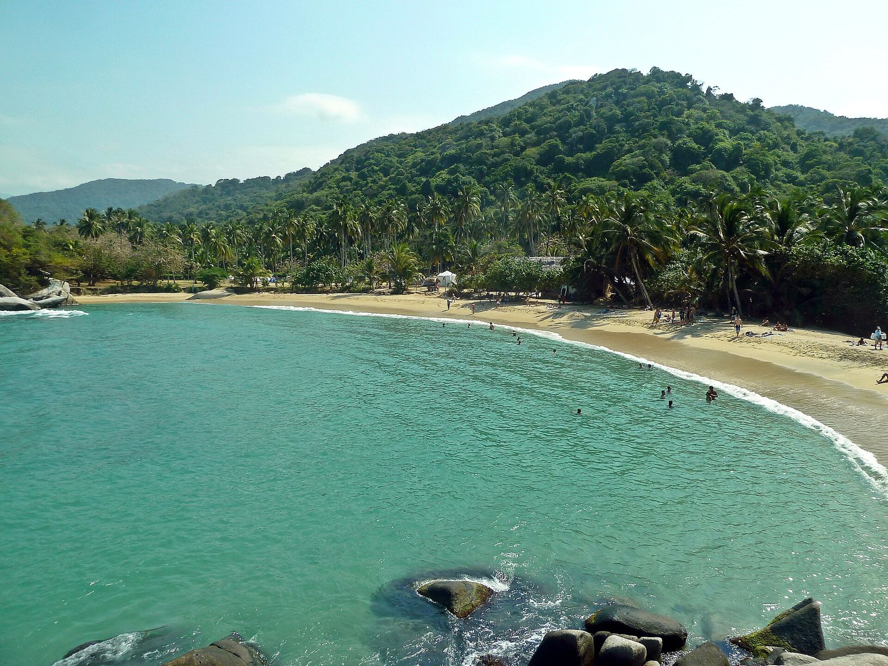
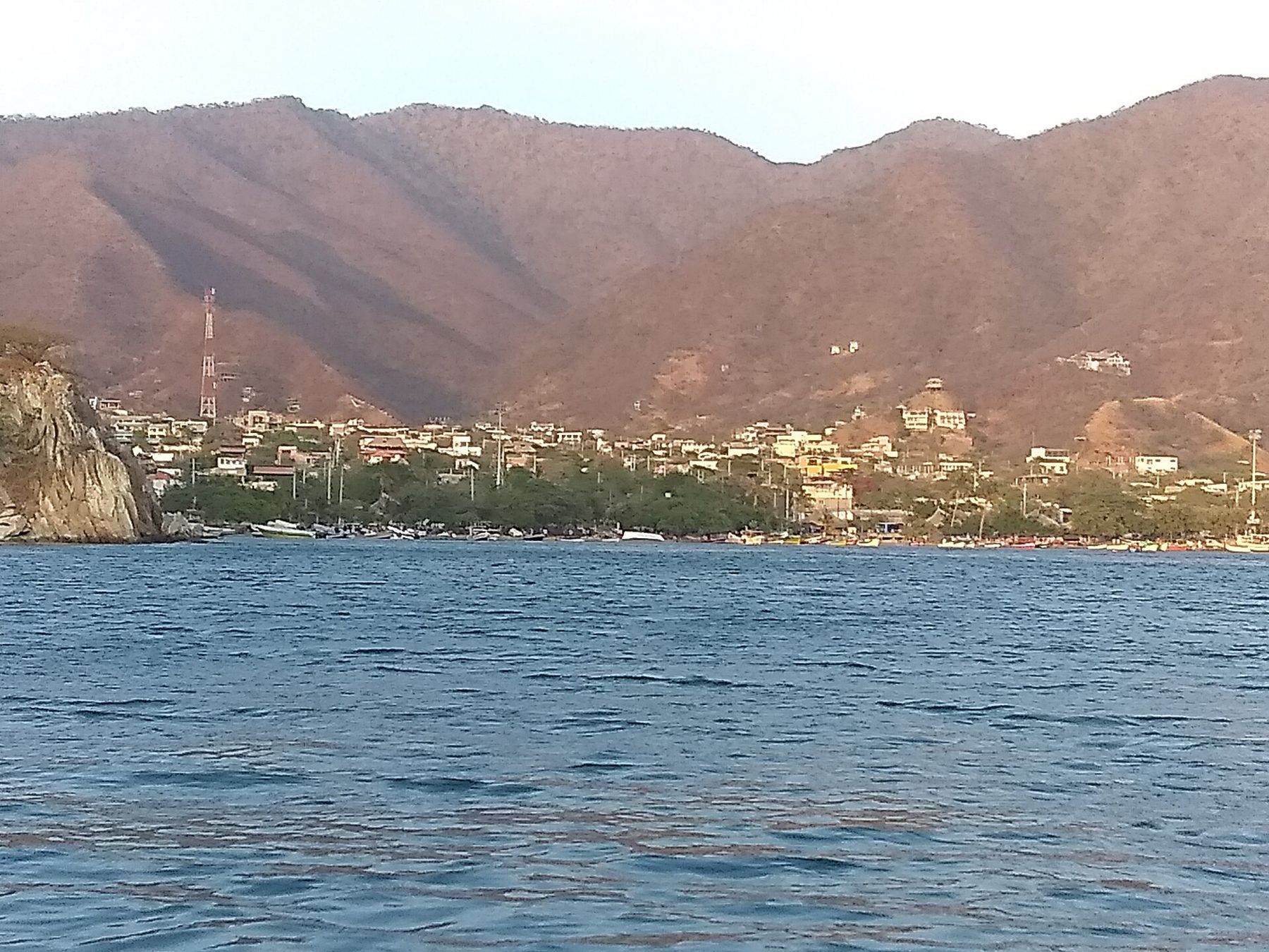
Tayrona National Natural Park covers a stretch of Colombia's Caribbean coast east of Santa Marta, where the foothills of the Sierra Nevada de Santa Marta reach the sea in rounded granite headlands and small bays. There are no roads to the beaches. You walk, through dry forest near the entrance and wetter forest closer to the shore, and arrive at each bay the way people always have, through the trees.
This is a sea-level story, about fifty metres above the water at most on the coastal paths, so altitude does nothing to the walk. Heat and humidity do everything. The forest trails trap still, damp air; by mid-morning your shirt will be wet through, and the rocks on the path are slick after rain. Start early, walk slowly, drink often and treat the swim at the end of each section as part of the plan.
Into the forest
The main entrance, El Zaino, sits on the coast road east of Santa Marta. Entry rules here change: there is a fee, a cap on daily visitors, and a short safety briefing, and you will be asked to show identification. Plastic bags and alcohol have been restricted in recent years. Check current arrangements before you go rather than relying on anything printed, this page included.
From the entrance a road runs a few kilometres to Cañaveral, where the trails begin. The first stretch to Arrecifes takes most people around an hour or two on foot, on boardwalks, roots and sandy track, with wooden steps over the steeper rises. Howler monkeys call from the canopy in the early morning, a low roar that carries a long way. Leaf-cutter ants cross the path in columns. Keep to the trail; the forest is dense, and it is easy to lose the way.
Wear light walking shoes rather than flip-flops, and carry your swimming things in a small pack. A cotton shirt will stay wet all day; something quick-drying is better. Insect repellent helps, more in the wet season.
Arrecifes, La Piscina and Cabo San Juan
Arrecifes is the first long beach, and the first lesson. The sea here is open, with strong currents and rip tides, and signs tell you plainly that swimming is not allowed. Respect them. People have drowned on this coast, and the calm look of the water is misleading.
Continue west along the shore and through short stretches of forest to La Piscina, where a line of rocks offshore breaks the swell and makes a natural pool. This is one of the safer places to swim, and after the walk it feels like the reward it is. A little further on is Cabo San Juan del Guía, the park's best-known bay: two crescents of sand on either side of a rocky point, with a thatched lookout perched on the boulders at its tip.
Cabo San Juan is busy in the middle of the day and in the high season. It is also the main place to stay overnight inside the park, in hammocks and tents, and the reward is the place after the day visitors have gone: the sound of the sea against the boulders, the stars, the dark shape of the forest behind. Book or confirm sleeping arrangements in advance in peak periods, and expect a simple night.
 2 mCartagena inside the walls
Pueblito and the people of the Sierra
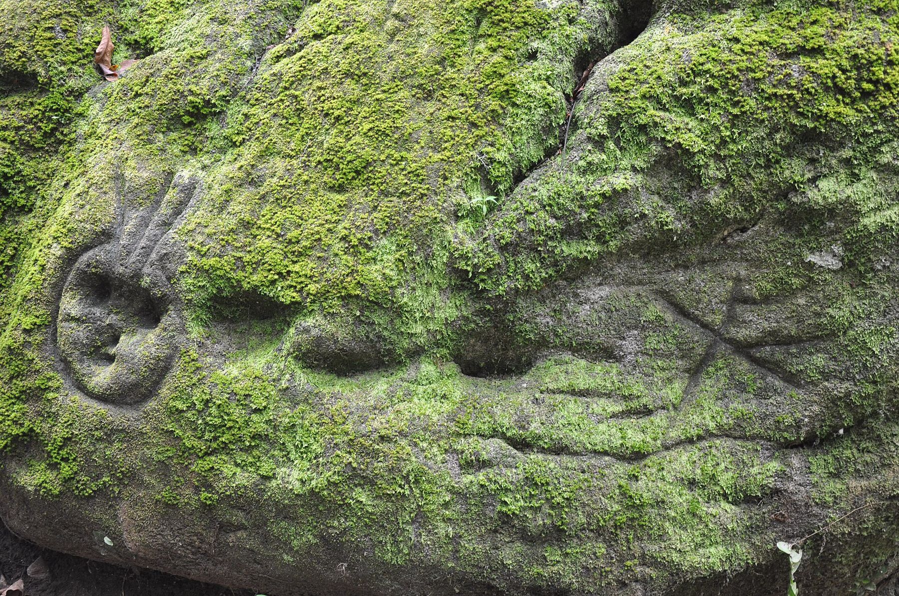
The park is not empty land. The Sierra Nevada de Santa Marta is the ancestral territory of four Indigenous peoples, the Kogi, the Arhuaco, the Wiwa and the Kankuamo, who regard the mountain and its coast as sacred. Their ancestors, the people archaeologists call the Tayrona, built stone terraces, paths and stairways across these slopes long before the Spanish arrived.
From Cabo San Juan a steep trail climbs inland through the forest to Pueblito, also known as Chairama, the remains of a Tayrona settlement: circular stone platforms, stairs and paths among huge boulders. The climb is rough and slippery, with scrambles over rock, and in the heat it takes real effort. The trail has been closed at times; ask at the entrance whether it is open. From Pueblito a path continues down the other side to Calabazo on the main road.
The park closes entirely for set periods during the year, at the request of the Indigenous authorities, to let the land and its sacred sites rest. Closures have usually included part of February and are announced in advance. Plan around them, and treat them as what they are: a reminder whose land this is.
The mountain behind
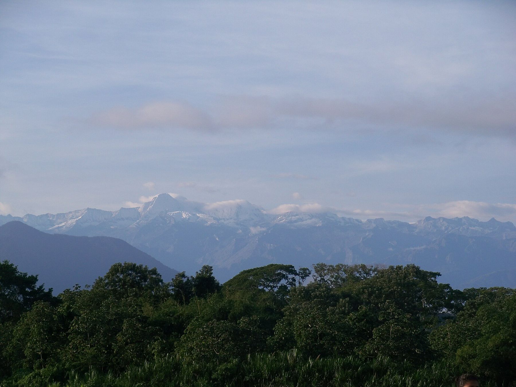
On a clear morning, usually early in the dry season, you may catch sight of snow from the coast. The Sierra Nevada de Santa Marta rises from the sea to its highest summits, at around 5,700 metres, in less than fifty kilometres, which makes it the highest coastal mountain range in the world. Most days the peaks hide in cloud, and you see only the forested ridges climbing away behind the beaches.
That vertical range is the reason this corner of Colombia holds so many climates within a day's travel: coral reef and cactus scrub at the bottom, cloud forest in the middle, páramo and glaciers at the top. The Sierra's northern slopes also hold Ciudad Perdida, the lost city of Teyuna, reached on a multi-day trek that starts further east along the coast, a separate journey from this one.
Seasons, sea and safety
The driest months are December to April, when the trade winds blow and the sea can be rough; the wettest are usually around May and from September to November, when afternoon downpours turn the trails to mud. Either way, it is hot. For how this coast compares with the rest of the continent's weather, see seasons across a continent.
Swim only where it is signposted as safe. Carry enough water for each section, and some cash, as there are no banking services inside the park. Pack light, because whatever you bring you carry: our list for the five climates covers the warm-lowland kit. Leave nothing behind, and do not enter areas marked as closed or sacred.
Back out, and on
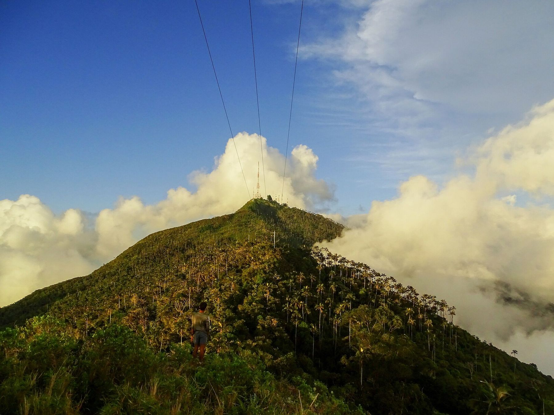
The walk down from Pueblito to Calabazo is steep and shaded, and at the bottom the coast road takes you back towards Santa Marta in under an hour. The heat follows you all the way. If you want the opposite of Tayrona, head inland and up: Salento and the wax palms, in the coffee country at nearly 1,900 metres, is cool enough for a jumper at night, and the hills there carry their own kind of rain.
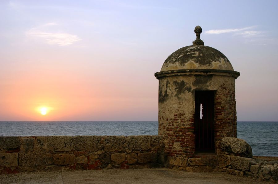
Or stay on the coast and go west to the walls of Cartagena, two metres above the same sea.